• Hi everyone,

    As you all know, Coffee (Dean) passed away a couple of years ago. I am Dean's ex-wife's husband and happen to have spent my career in tech. Over the years, I occasionally helped Dean with various tech issues.

    When he passed, I worked with his kids to gather the necessary credentials to keep this site running. Since then (and for however long they worked with Coffee), Woodschick and Dirtdame have been maintaining the site and covering the costs. Without their hard work and financial support, CafeHusky would have been lost.

    Over the past couple of weeks, I’ve been working to migrate the site to a free cloud compute instance so that Woodschick and Dirtdame no longer have to fund it. At the same time, I’ve updated the site to a current version of XenForo (the discussion software it runs on). The previous version was outdated and no longer supported.

    Unfortunately, the new software version doesn’t support importing the old site’s styles, so for now, you’ll see the XenForo default style. This may change over time.

    Coffee didn’t document the work he did on the site, so I’ve been digging through the old setup to understand how everything was running. There may still be things I’ve missed. One known issue is that email functionality is not yet working on the new site, but I hope to resolve this over time.

    Thanks for your patience and support!

Bryce, Moab and Making Maps w/PCV

Johnrg

Husqvarna
Pro Class
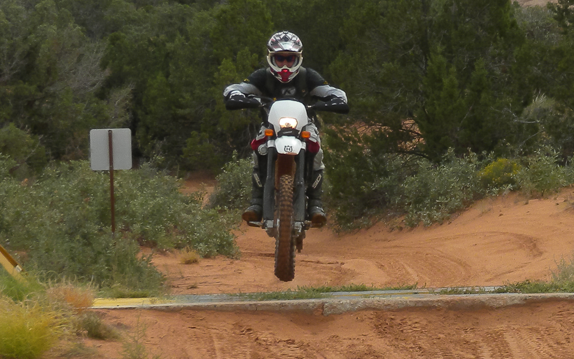
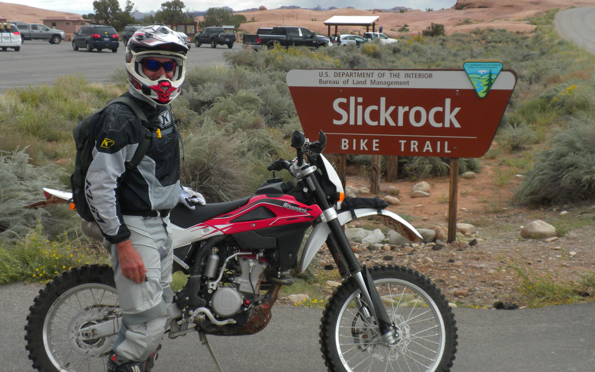
It was time once again to hit the road and trails. Fall is here and I normally head to the NW but with so many fires it's always a crapshoot where you'll be breathing smoke, so decided to head back to Utah. Part of my trip was to make some maps with the PCV and so needed some elevation. (6800 feet was the baseline on day one out of Panguitch and Casto Canyon). I started where I left off a few weeks ago at Cedar City since I could camp for free a few miles from the highway and was an hour or so from riding near Panguitch. Panguitch is on Rt. 89, east of the 15 and towards the southern end of an amazing amount of ATV and motorcycle trails that extend from Bryce to I-70.

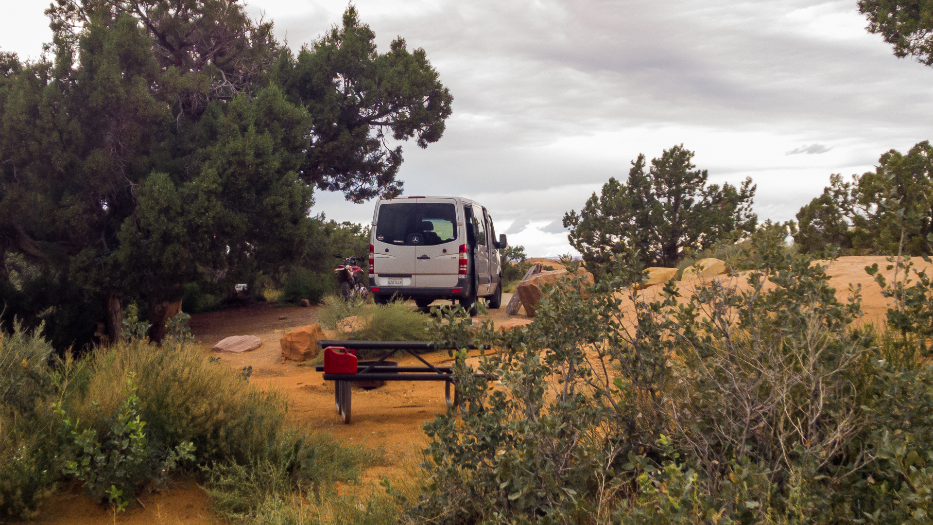
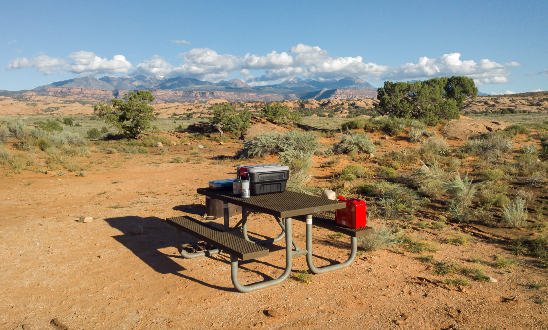
My campsite at 3 Peaks. Peaceful and with a full panorama..

bryce_moab-1.jpg


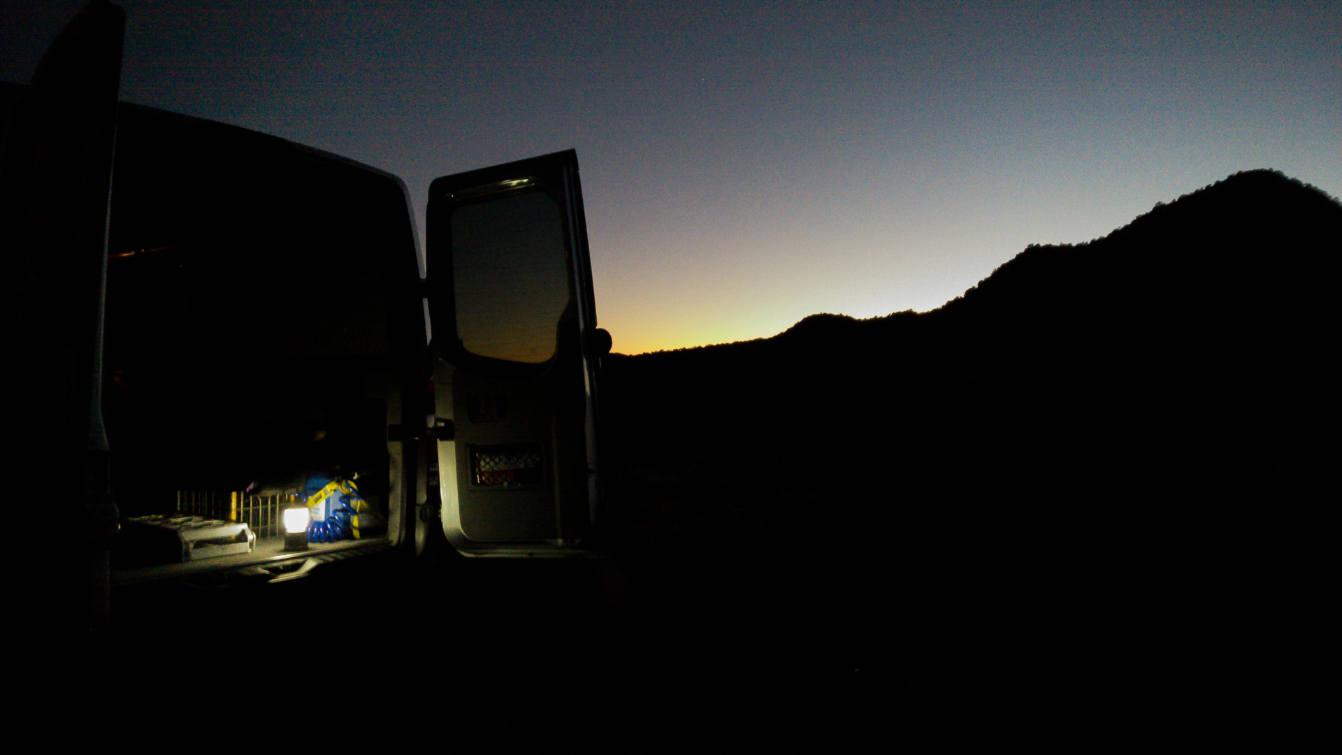
No picnic table but who cares... Turkish ground Sumatra and instant oatmeal...

bryce_moab-2.jpg


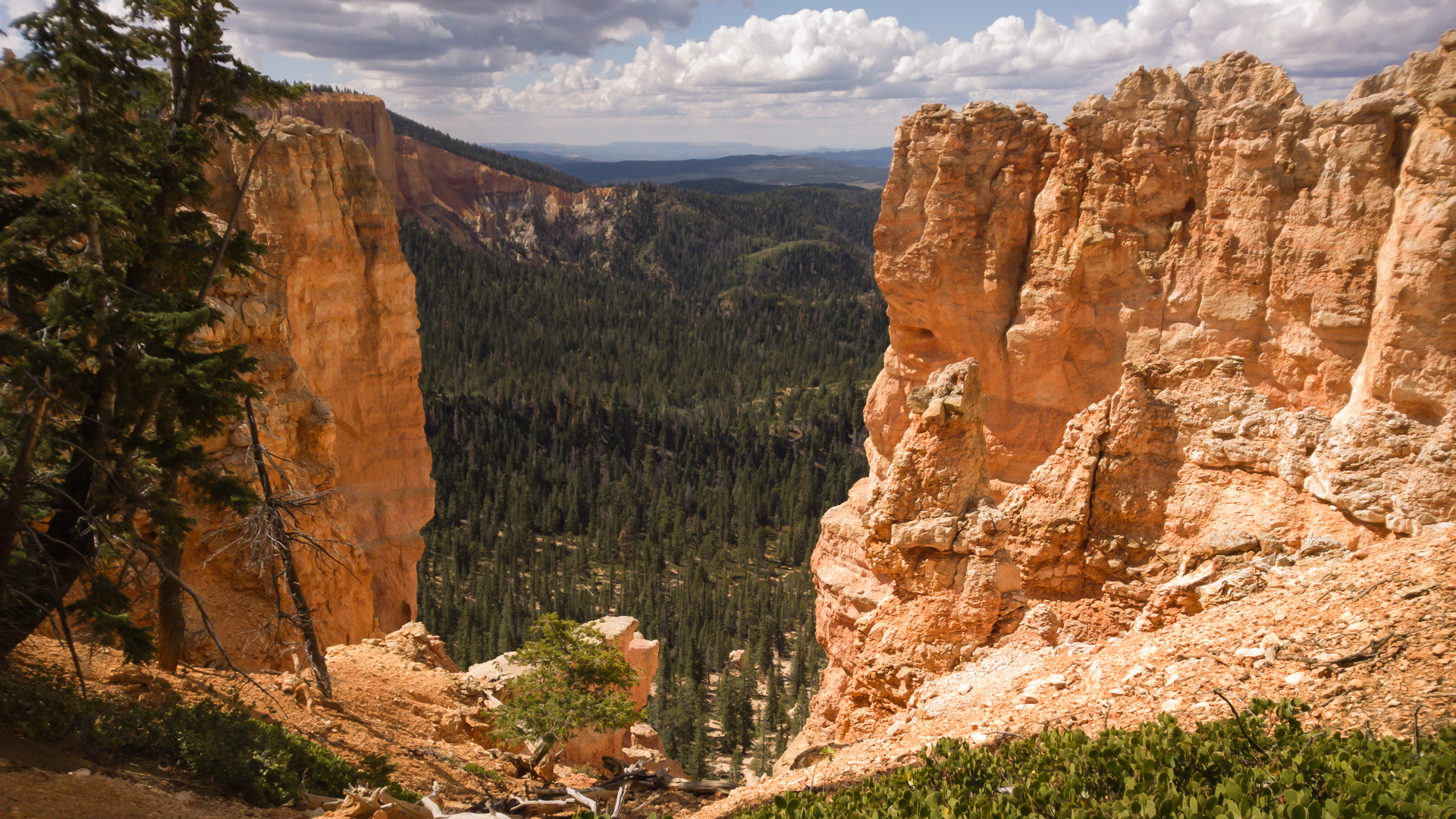
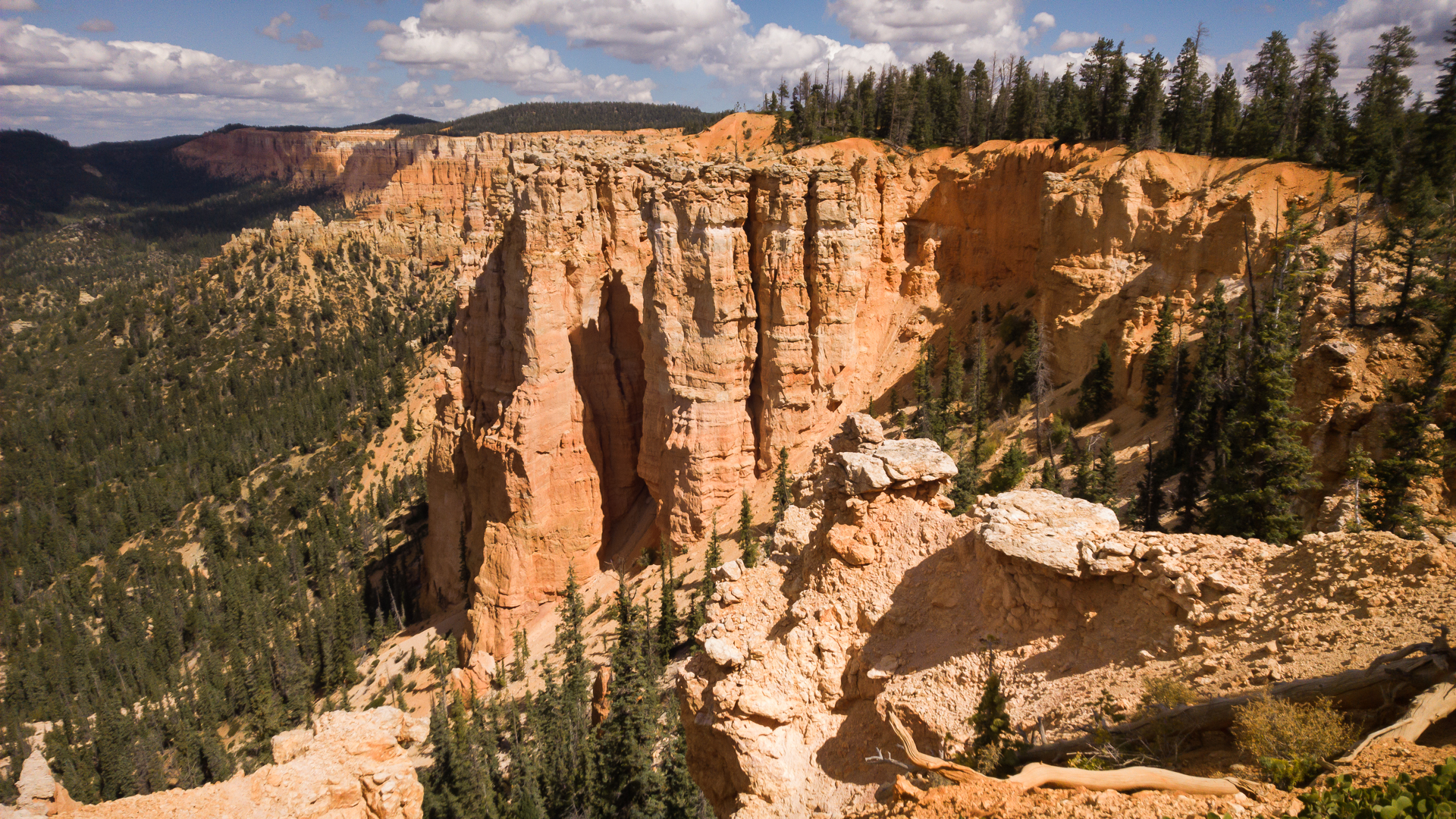
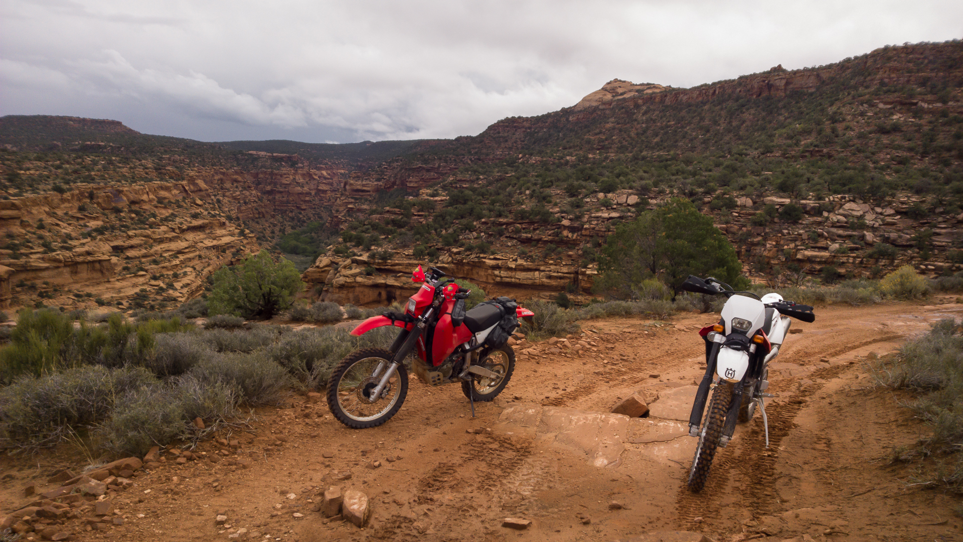
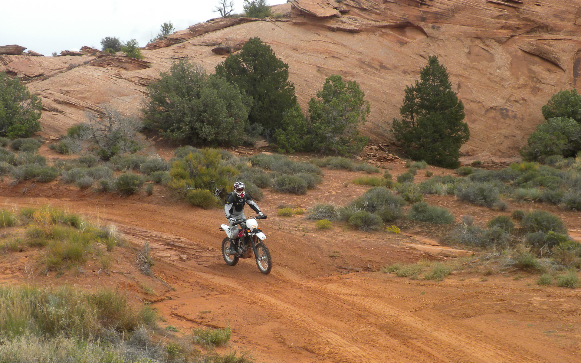
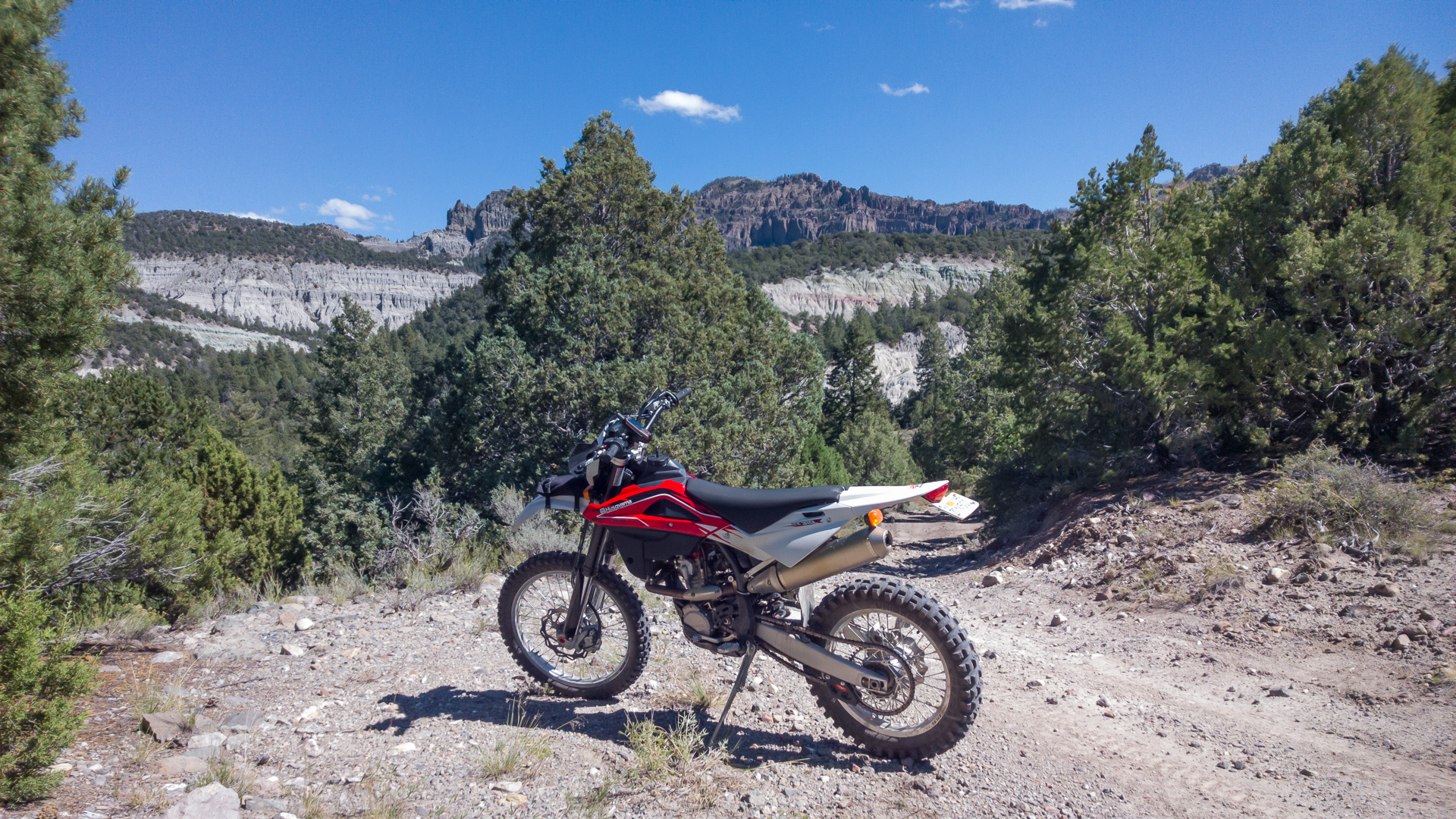
The day started off after a short drive to Panguitch and just shy of Bryce on Hwy, 12 at the trailhead 3 miles from the start of Casto Canyon, a mini Bryce. It clearly was rougher than the videos I had previewed due to heavy rains. Lot's of river rock and in and out of the stream bed until climbing out and hitting the Fremont Trail which extends from Tropic Reservoir to Circleville.

bryce_moab-3.jpg


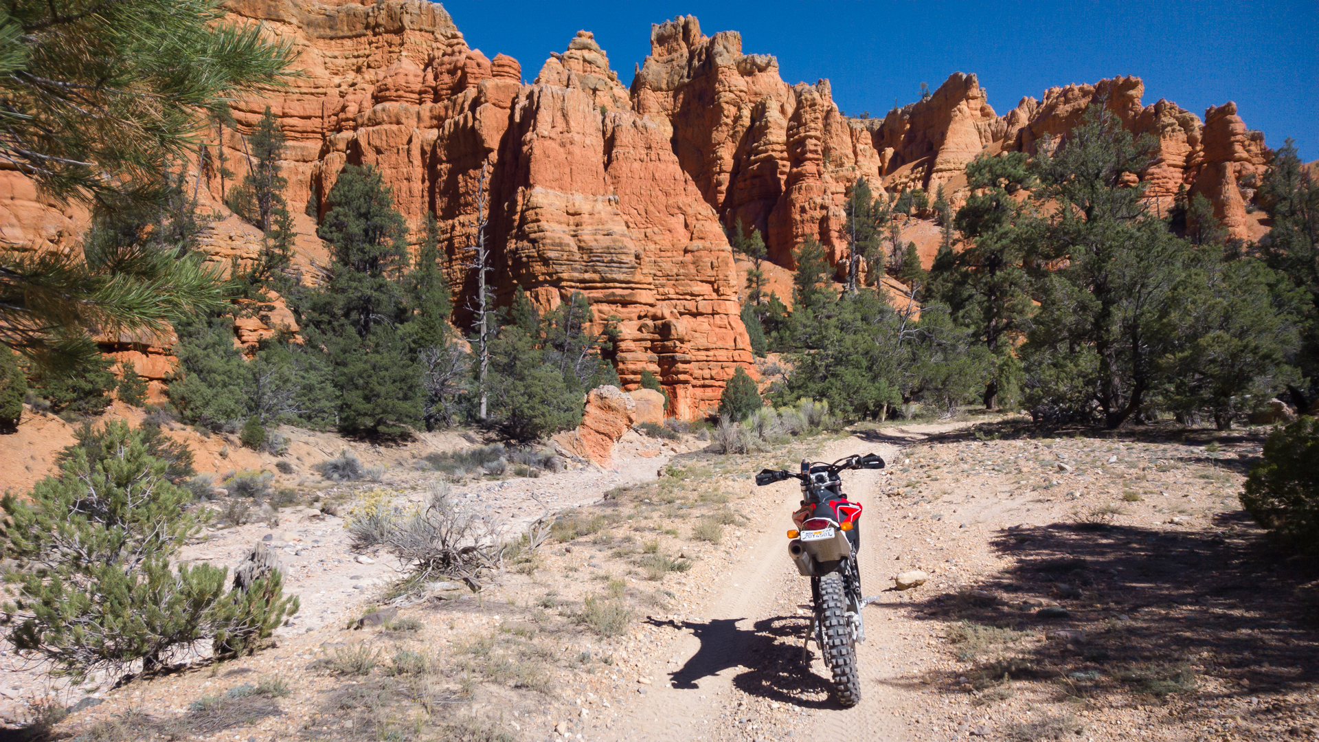
The Fremont Trail is a doubletrack that isn't maintained, so in and out of creek beds and can be loose and a fair amount of rubble. All in all did an out and back of about 40 miles.

bryce_moab-4.jpg


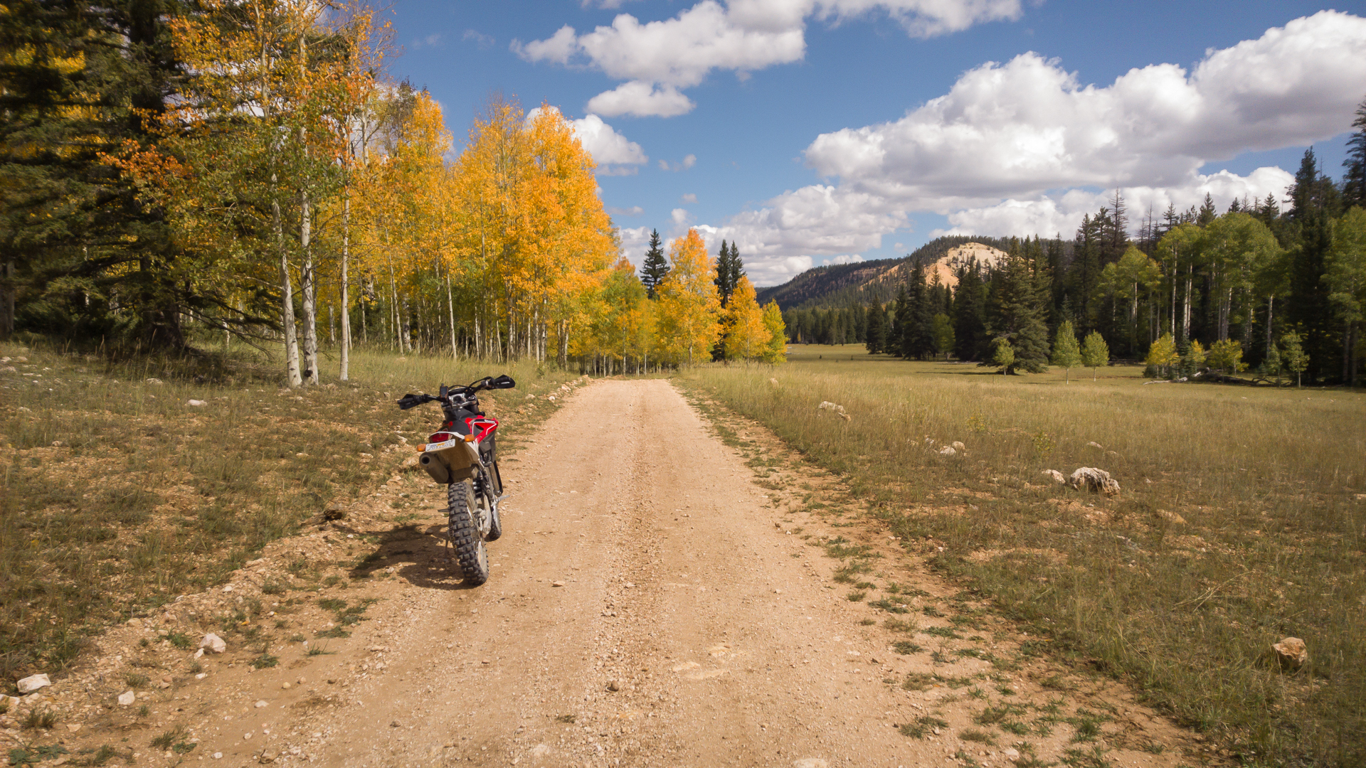
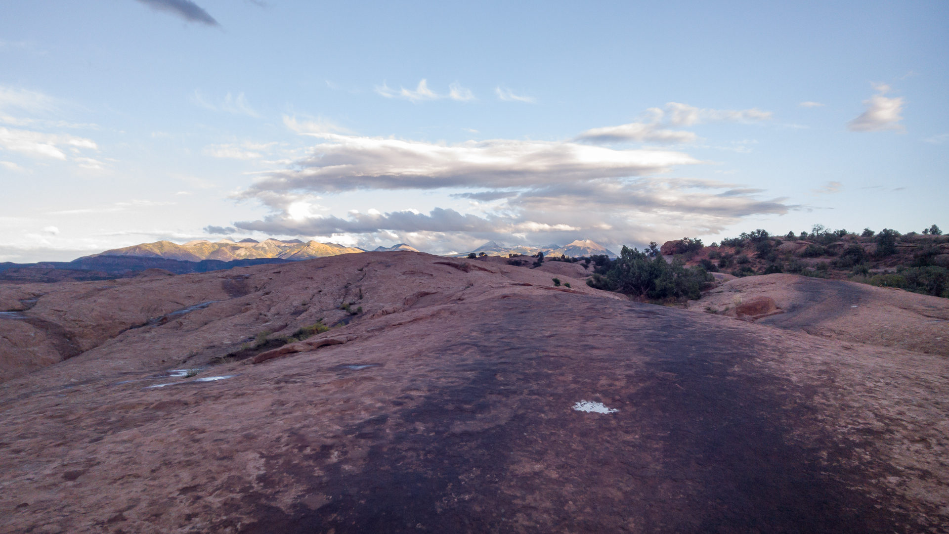
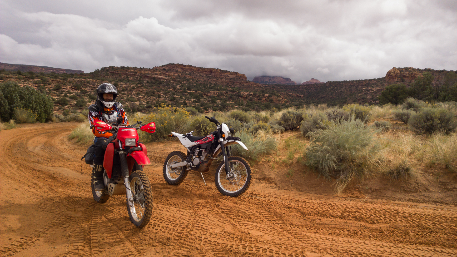
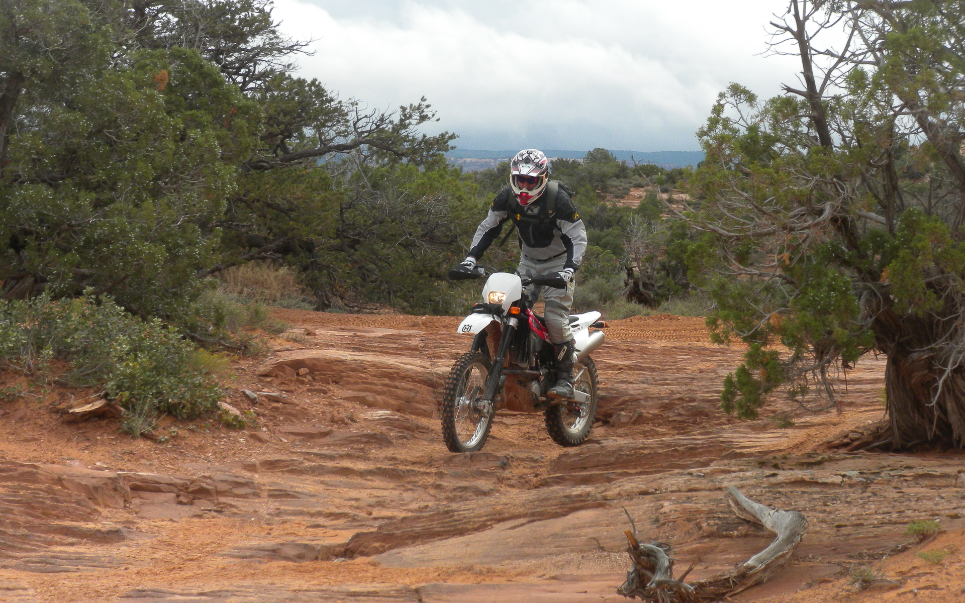
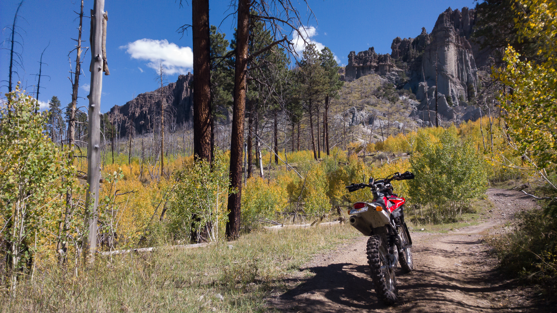
About the only fall colors I'll see this year. Rode a few more miles from here and then backtracked the way I came in. I could have ridden right from town as dirt roads and trails make for easy access all over the 89 corridor...

bryce_moab-5.jpg


Day 1 involved about 6800-8500 feet of elevation so generated a good first trim table for the PCV for High Elevation Map 2.
 
Day 2 I headed to Tropic Reservoir which was a few miles down a smooth dirt road from Hwy. 12 and a mile or two just west of Bryce Canyon. It's a pretty level canyon floor with ridgelines on both sides and great access to them by maintained roads and ATV trails. Mostly doubletrack but quiet, beautiful and allows you to totally chill out in great surroundings. Plus the camping is free (if you don't use the campsites at the reservoir itself).

At the top of Trail 105 you get here... No need to pay to drive into the park...

bryce_moab-6.jpg


bryce_moab-7.jpg


The roads are smooth and the scenery spectacular. Got to love free! I am not a member of any country club and places like this are why.

bryce_moab-8.jpg


After 2 days I generated a final High Elevation Map encompassing 6800-9400 feet for the PCV. That said, I switched off Autotune and loaded 2 maps, Sea Elevation and High Elevation. This was my goal in the first place, to have 2 maps on the 310. Even better is generating them myself with Autotune for my exact setup. Not a pop or stall or inability to re-start when hot. The TE310R is now a keeper :thumbsup:
 
Day 3 I headed to Moab since it was a deluge the prior night and was predicted to rain all day. Moab was predicted to be sunny and 85 and it's was, for awhile...

I arrived mid day so had lunch in town and decided since still wet to get a quick hike in at the Moab Rim Trail. They rent the Polaris side by sides to anyone and this group had 4 rollovers this day :eek:

bryce_moab-9.jpg


2/3rds of the way up... These guys started before me but had a few safety meetings on the way...

bryce_moab-10.jpg


I got to the Rim just as a giant thunderclap and lightning strike hit... The sky opened up and I got my trail run in to the bottom, beating all the Razers and Jeeps who had a big traffic jam getting back down...

bryce_moab-11.jpg


I'm not a fan of 4 wheels on the trail but in Moab they rent them and the guys that run the rocks regularly fly day or night on the roughest terrain. I wouldn't strap myself into one, but I did buy some Polaris stock!

bryce_moab-12.jpg
 
Rained like hell and was tough to find a campsite on a Saturday night in Moab. Finally found one on Sand Flats after dark. After breakfast decided to head south to Behind the Rocks and see if I could access the area but the driveway in was all muck so no luck. Decided to head over the Flat Pass/Steelbender and hike in a see if access was better. Not much but had a good hike and a couple of guys that road from the lake end of the trail said they had to push a few times and wasn't so good. Doing it solo wasn't In the cards.

Moab after a rain is pretty sweet...

bryce_moab-13.jpg


Next up was getting a good campsite and figuring out where I could ride in the wet. Heading up to Sand Flats was the best option as it would drain quickest. Just my luck my favorite campsite from 1994 was open...

bryce_moab-14.jpg


and the campsite backs up to Fins and Things (the rocks to the right begin this trail section), a fun slickrock and dirt trail that zigzags up and down the Sand Flats corridor...

bryce_moab-15.jpg


I rode up upper Sand Flats to the houses at the upper plateau just as more ominous weather approached so turned for camp. Rained more in the afternoon so stocked up on food and had dinner, then did a trail run from my camp site up Fins and Things to the next intersection a few miles up to see if I could manage the trail. A few spots looks tricky/steep, so questioned if I should attempt alone but figured why not. Got back to camp just as a big storm moved in and glad to not be camping in a tent.
 
The following day I met Matt and Carol from La Pine. Matt rides a Honda 650 and Carol a 350 and he also had a trials bike. Matt asked me if I wanted to ride with him since Carol biffed a couple of times the day before and wasn't feeling like riding the same trail again. I was stoked since I would rather follow initially and see the correct lines than crash all by my lonesome. We rode Fins and things right from my campsite and when we hit Sand Flats a ways up rode to Porcupine Rim. About 1/4 mile down Porcupine Rim is Hell's Revenge 4x4 trail that heads back down the canyon to the north. A lot of ledges and rock so was glad to be riding with Matt leading the way. No issues as all and really built up my confidence picking some more technical lines. A mix of sandy roads in places on the way...

bryce_moab-16.jpg


bryce_moab-17.jpg


We continued all the way down on Fins and Things coming back out to Sand Flats and our campsites at the radio tower, had a drink and then headed to Slickrock. I have ridden Slickrock many time on mtb and cleaned it a few and crashed once sanding the skin off an arm and leg. Hadn't ridden it since. This time was a gas on the 310. Between the upper trails and the Slickrock Practice Loop I felt like I accomplished a lot, mostly instilling some confidence and finding some new limits...

bryce_moab-18.jpg


All in all todays ride was one of my best days riding the Husky. Finally all coming together and felt really fortunate to meet Matt and Carol or I may not have attempted what we did....

bryce_moab-19.jpg
 
It was finally time to get a mountain bike ride in so off to Poison Spider and down the Portal Trail :eek:

bryce_moab-20.jpg


Some people clean just about the entire trail but I hike a bike most on my XC bike. At my age breaking bones is not in the cards, let alone falling to my death being stupid!

bryce_moab-21.jpg


Read the sign...

bryce_moab-22.jpg


Camp this night was pretty cool. Who needs a house when you can have this for $10...

bryce_moab-23.jpg


The weather forecast was for clear skies for a couple of days. Actually was only supposed to rain one day but was pretty much every few hours. I unloaded the Husky and had a good dinner with a view and enjoyed a starry night until it started pouring rain again at 3 am. Never stopped, so in the am loaded up and headed home after to visit with Jim Ryan at dualsportmoab.com. He has a few new Betas for rent this year and is doing some tours in Baja in another month or so after the race.

All in all one of the better moto trips even with the rain. Back to the heat of a SoCal fall.
 
Matt Holloway just sent some photos from our tour prior to Slickrock on Hell's Revenge...

DSCN6455.jpg


DSCN6456.jpg


DSCN6457.jpg


DSCN6466.jpg
Sweet trip!
I hope to make it back down to Moab and the likes with the Husky. Spent many of spring breaks down there with mtn bike and fly rod. Your pictures bring back many memories.
How different is the slick rock trail on the Husky than Mtb? If you have not done slick rock on a full moon and headlamp, you need to try it (on a mtb). One of my most fun rides every!
Thanks for sharing.
 
That place looks really cool..ESP after that rain ..Really cleans everything and looks all new ... I gotta get some more of that Klim gear ...
 
The last time I rode my mtb with a light my lights batteries died :eek: Was no fun on a cloudy night finding my way back with the light slowly fading.

On Slickrock the Husky seems easier since it can power up the climbs that would have you at VO2 max on the bike. Granted tight turns and off camber can cause concern ... I slid down one section prior to the photo below about 1/2 mile in years ago so a couple of spots had me concerned.

slickrock.jpg
 
Looks like quite a ride you are having there ... I was using your fall pics with the different colored tree leaves to show my gf here what fall weather does to some trees around the world ... PNW where I spent a decade, was full of evergreen trees ... AR, where I lived ~28 yrs, had the hardwoods trees and Ozark mountains ...Full of colors in the fall ..

That area looks so desolate and unforgiving..., it's hard to image early settlers heading out across there ...
 
Was a great trip. Anxious for another :cool:

Fall in the northeast is hard to beat for the colors, but the aspens in high elevation areas of the west are as good. Not much fall in the NW. You know it's fall when it's dark out and raining. At least temps are not so cold and there is enough rock to keep things rideable.
 
Back
Top