Johnrg
Husqvarna
Pro Class
It was time once again to hit the road and trails. Fall is here and I normally head to the NW but with so many fires it's always a crapshoot where you'll be breathing smoke, so decided to head back to Utah. Part of my trip was to make some maps with the PCV and so needed some elevation. (6800 feet was the baseline on day one out of Panguitch and Casto Canyon). I started where I left off a few weeks ago at Cedar City since I could camp for free a few miles from the highway and was an hour or so from riding near Panguitch. Panguitch is on Rt. 89, east of the 15 and towards the southern end of an amazing amount of ATV and motorcycle trails that extend from Bryce to I-70.
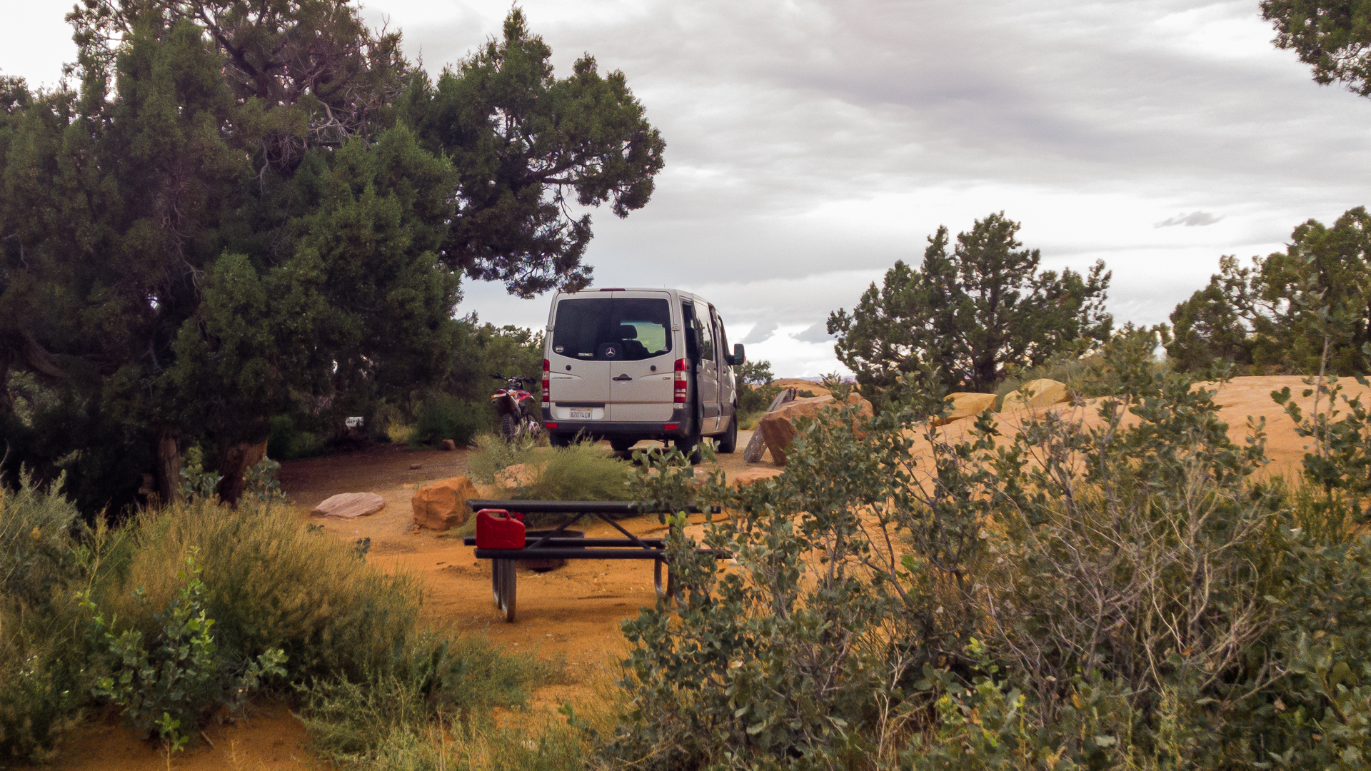
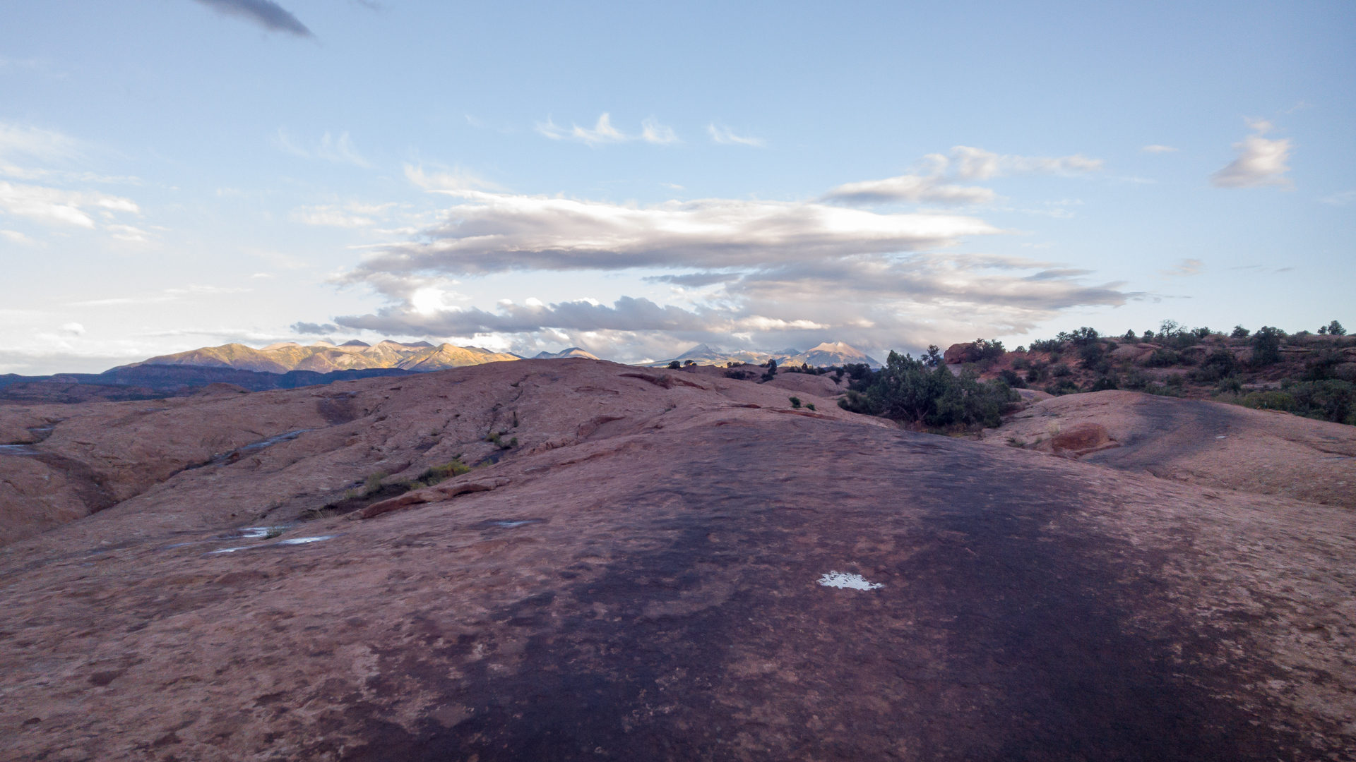
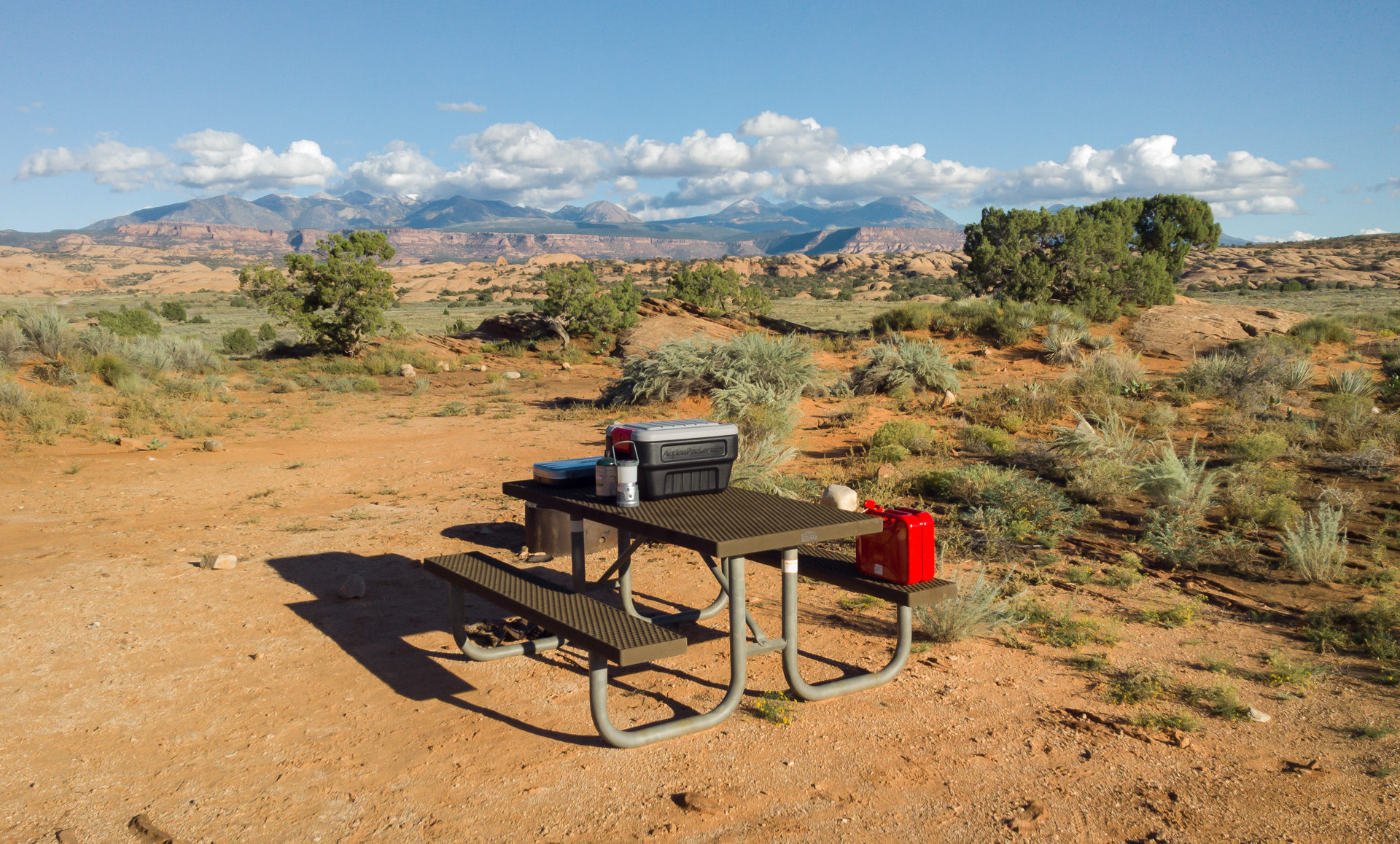
My campsite at 3 Peaks. Peaceful and with a full panorama..
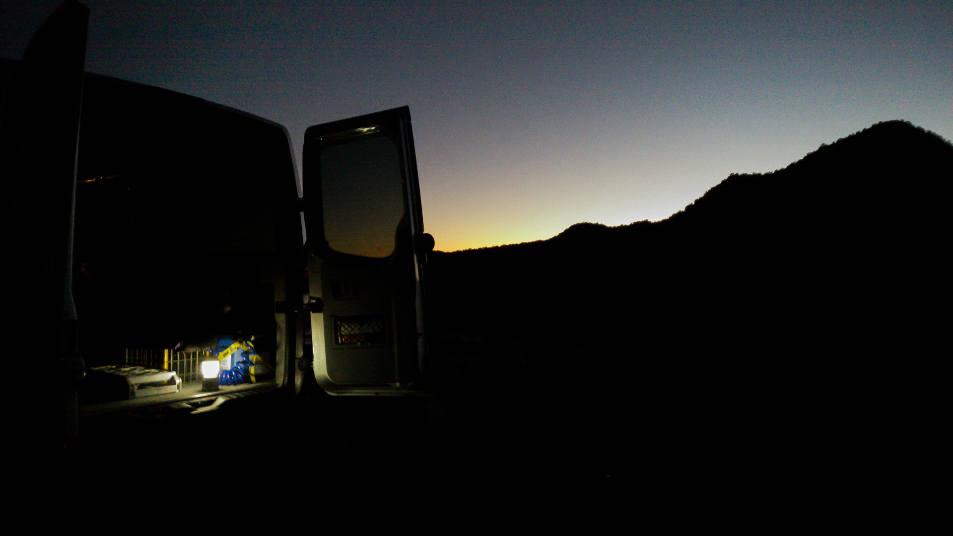
No picnic table but who cares... Turkish ground Sumatra and instant oatmeal...

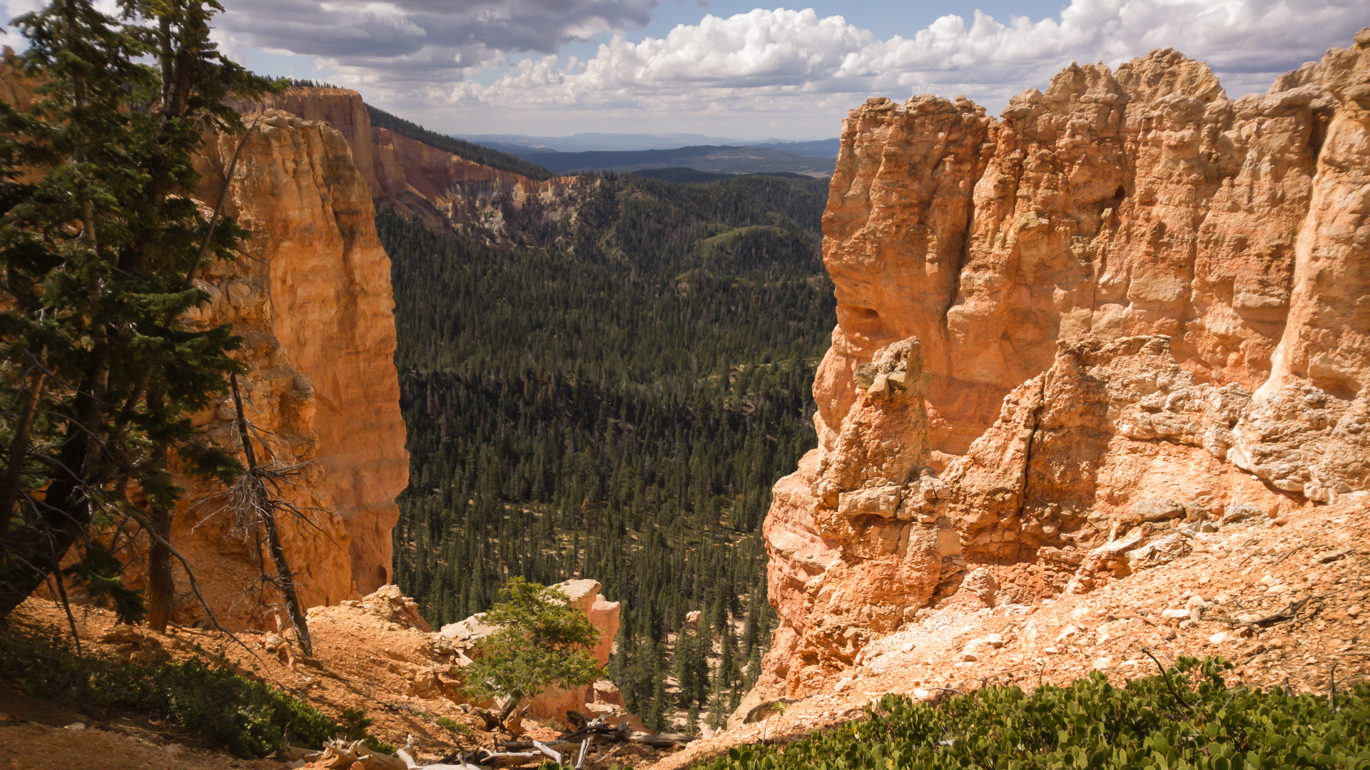
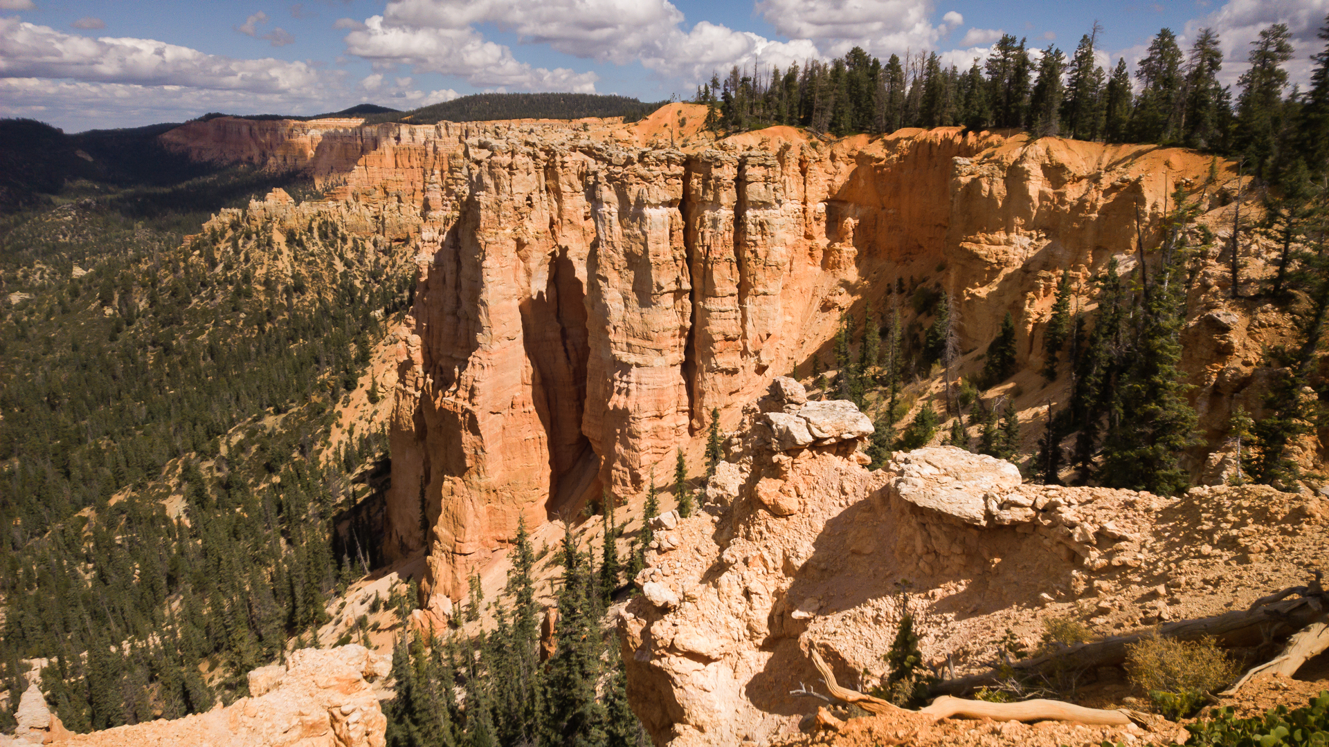
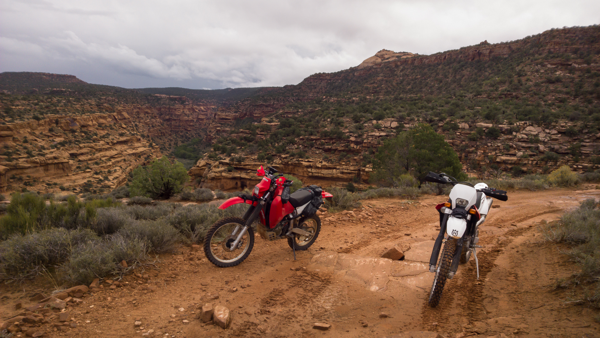
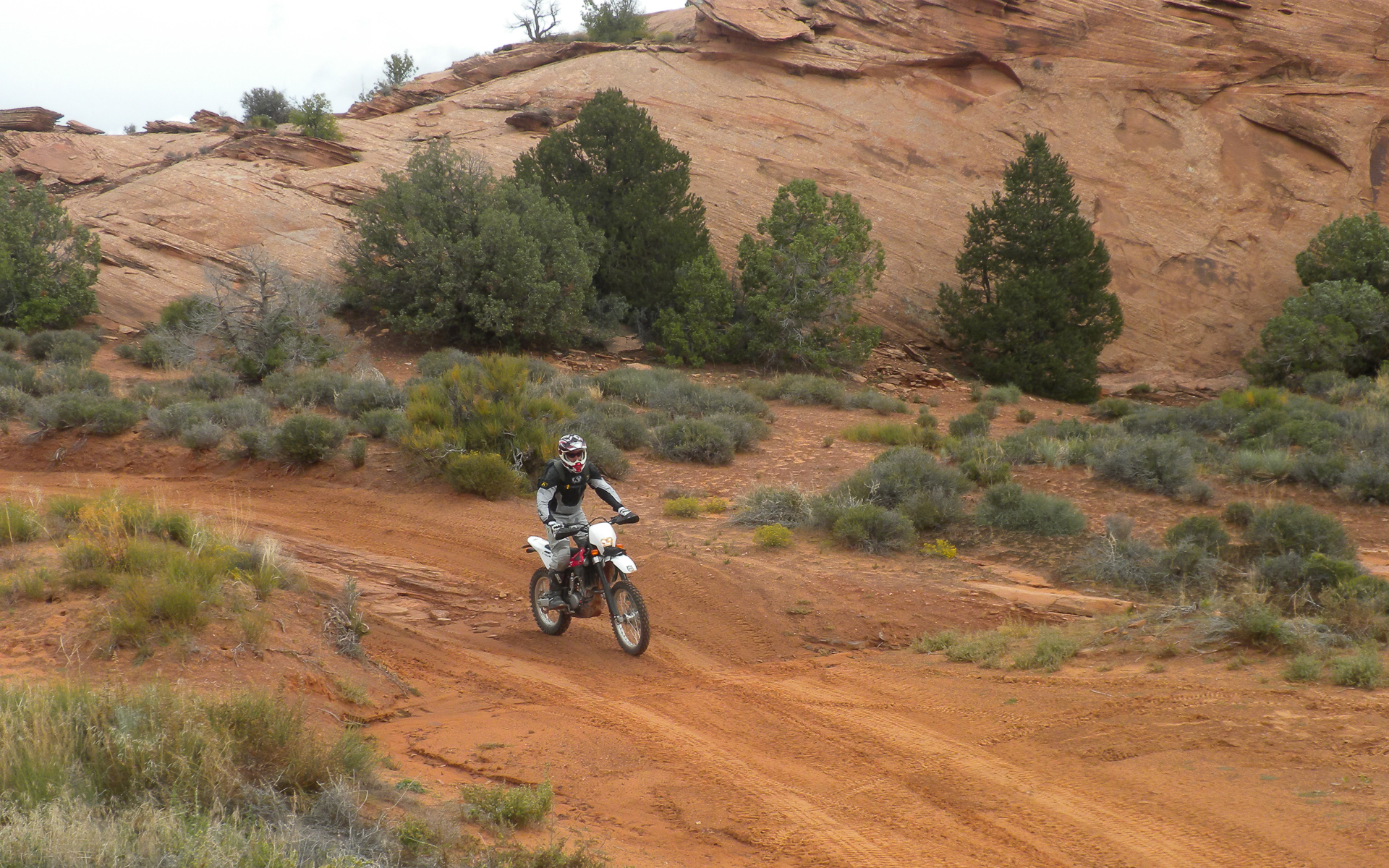
The day started off after a short drive to Panguitch and just shy of Bryce on Hwy, 12 at the trailhead 3 miles from the start of Casto Canyon, a mini Bryce. It clearly was rougher than the videos I had previewed due to heavy rains. Lot's of river rock and in and out of the stream bed until climbing out and hitting the Fremont Trail which extends from Tropic Reservoir to Circleville.
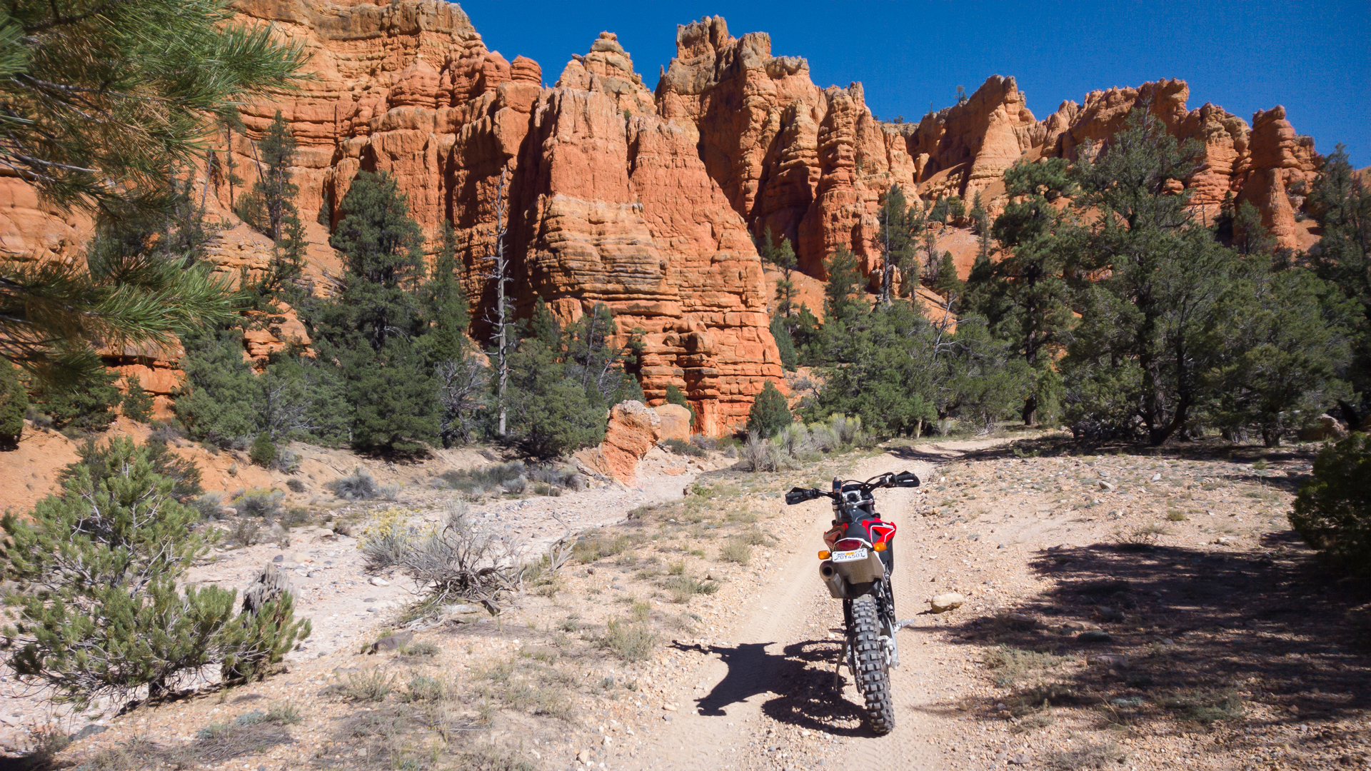
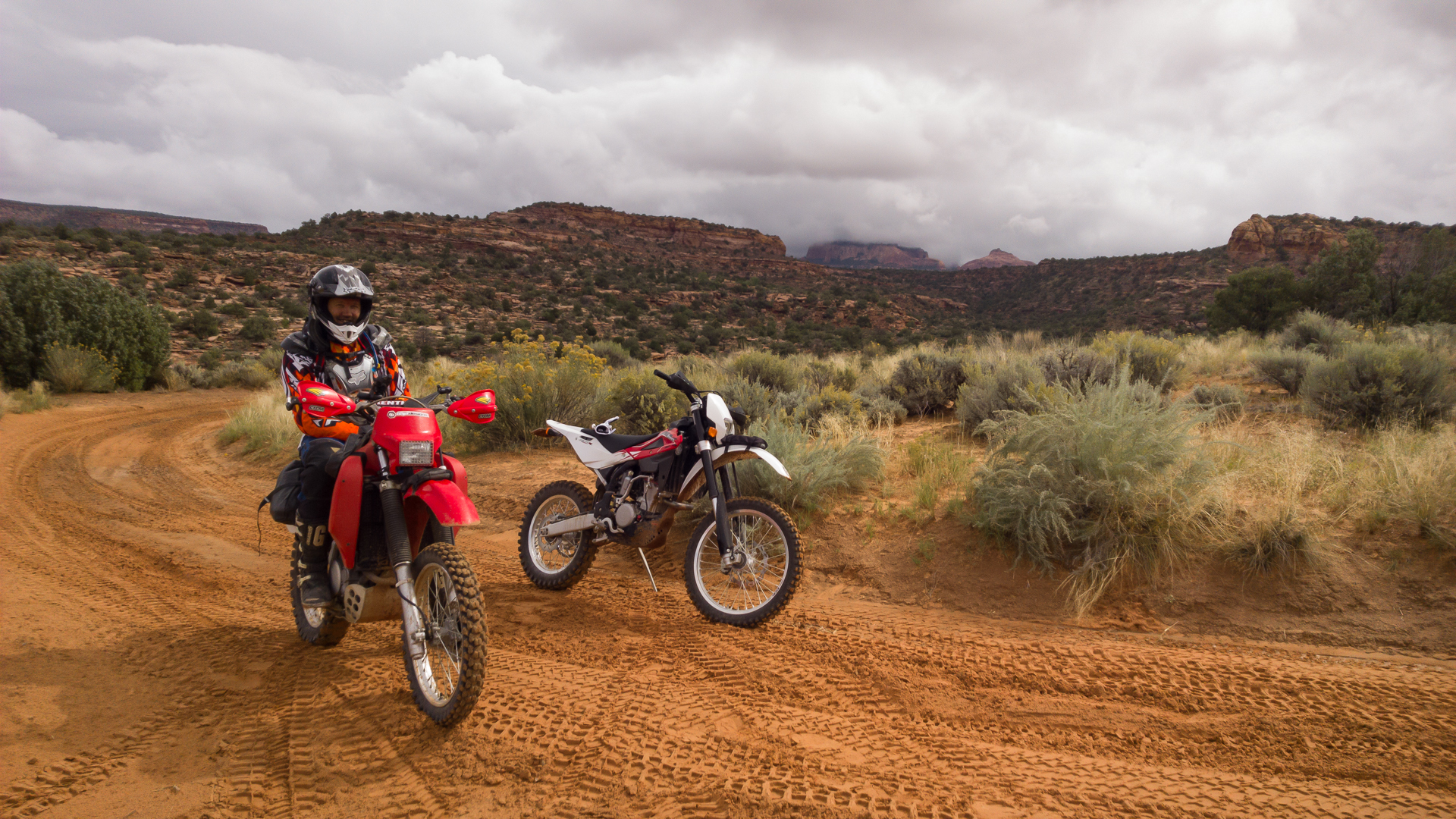
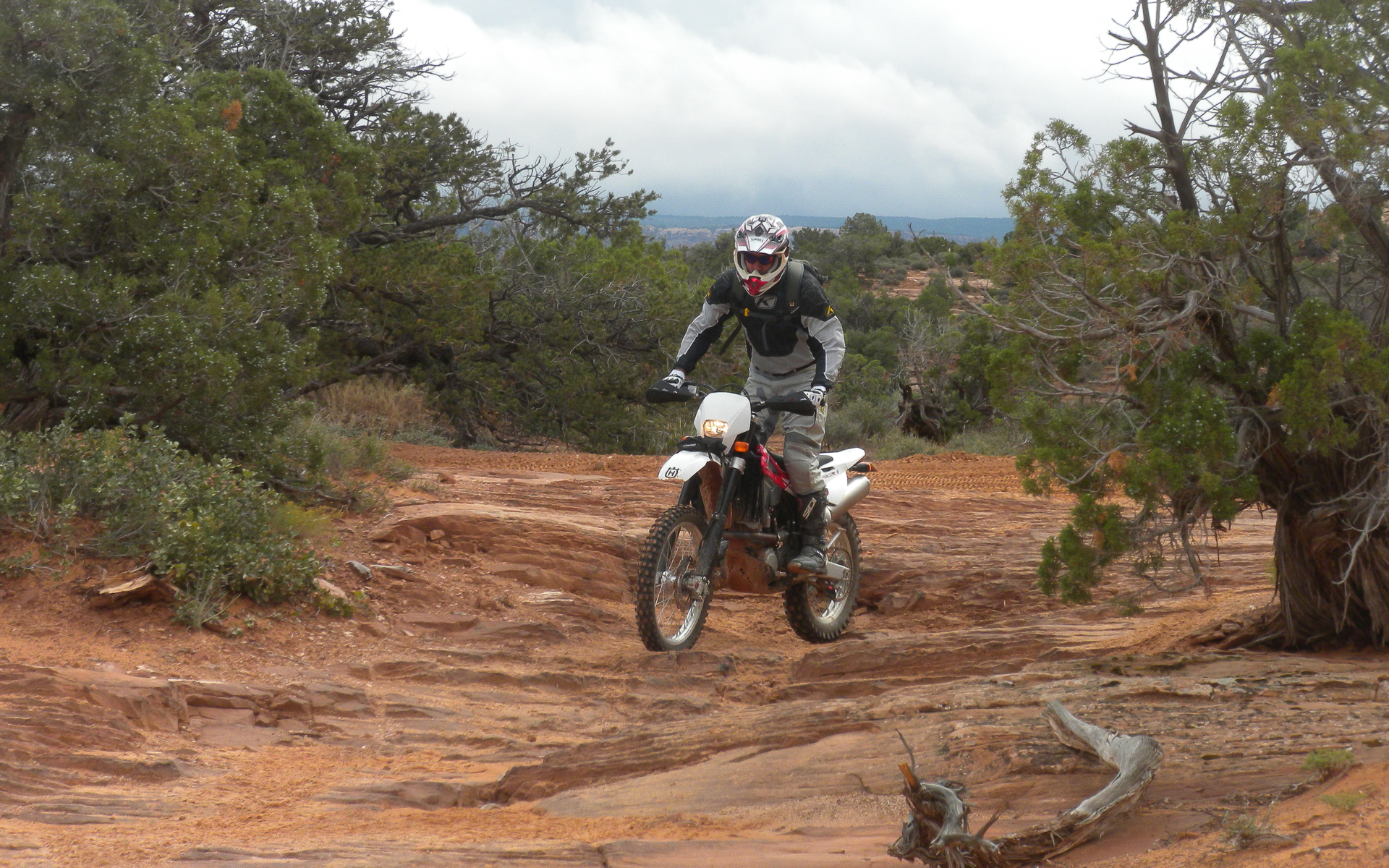
The Fremont Trail is a doubletrack that isn't maintained, so in and out of creek beds and can be loose and a fair amount of rubble. All in all did an out and back of about 40 miles.
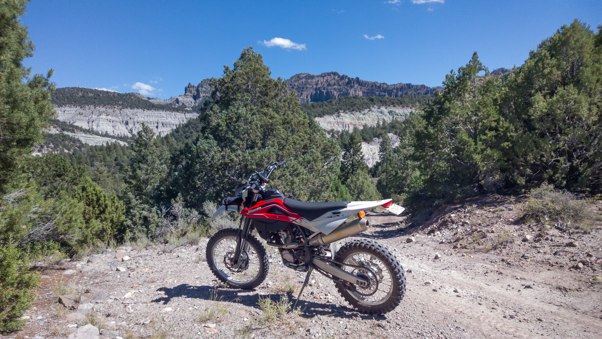
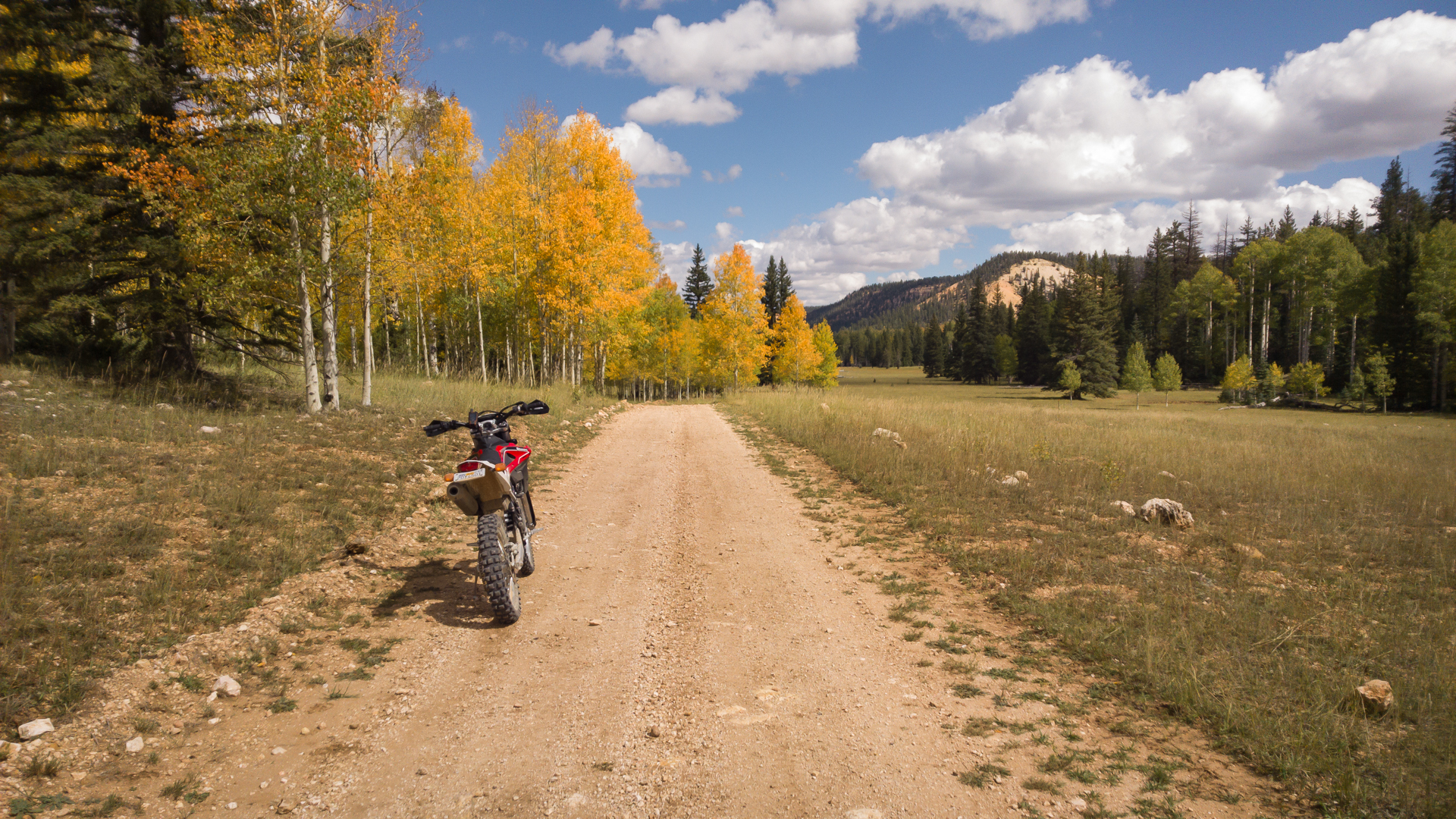
About the only fall colors I'll see this year. Rode a few more miles from here and then backtracked the way I came in. I could have ridden right from town as dirt roads and trails make for easy access all over the 89 corridor...
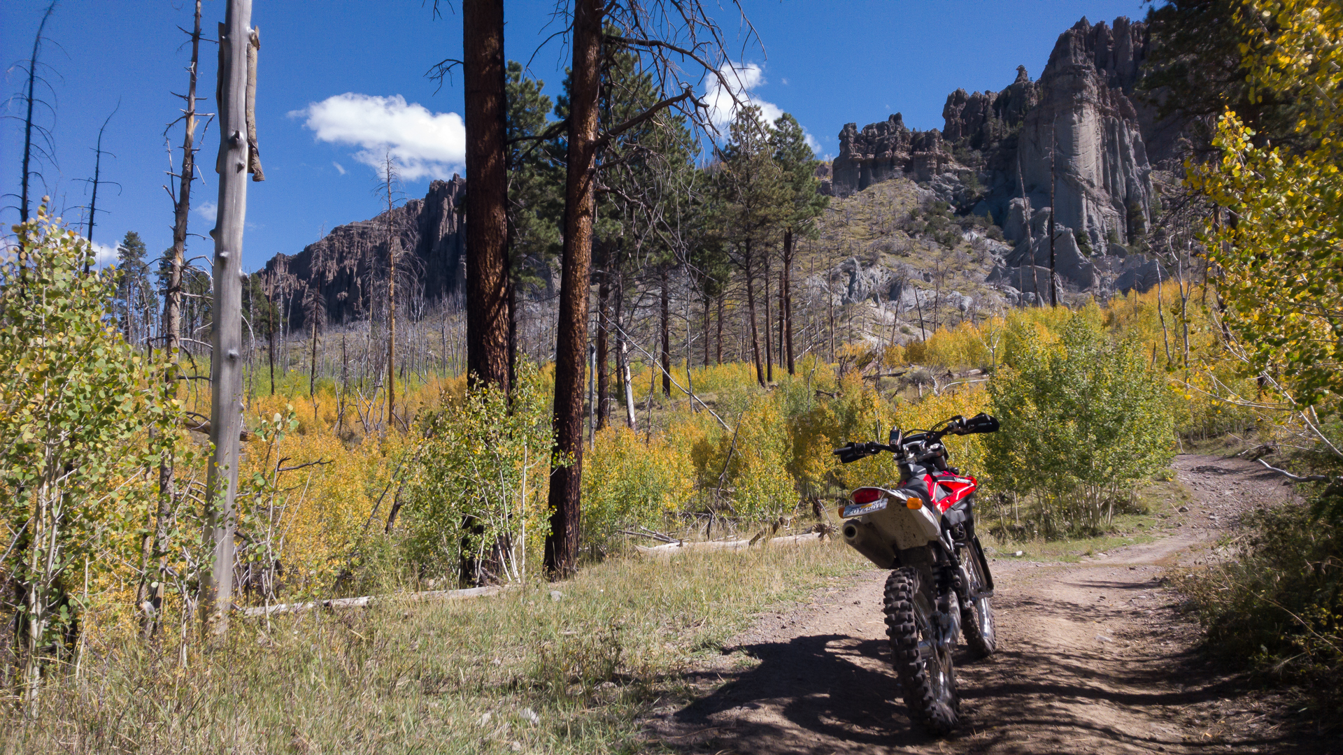
Day 1 involved about 6800-8500 feet of elevation so generated a good first trim table for the PCV for High Elevation Map 2.
My campsite at 3 Peaks. Peaceful and with a full panorama..

No picnic table but who cares... Turkish ground Sumatra and instant oatmeal...

The day started off after a short drive to Panguitch and just shy of Bryce on Hwy, 12 at the trailhead 3 miles from the start of Casto Canyon, a mini Bryce. It clearly was rougher than the videos I had previewed due to heavy rains. Lot's of river rock and in and out of the stream bed until climbing out and hitting the Fremont Trail which extends from Tropic Reservoir to Circleville.

The Fremont Trail is a doubletrack that isn't maintained, so in and out of creek beds and can be loose and a fair amount of rubble. All in all did an out and back of about 40 miles.

About the only fall colors I'll see this year. Rode a few more miles from here and then backtracked the way I came in. I could have ridden right from town as dirt roads and trails make for easy access all over the 89 corridor...

Day 1 involved about 6800-8500 feet of elevation so generated a good first trim table for the PCV for High Elevation Map 2.

