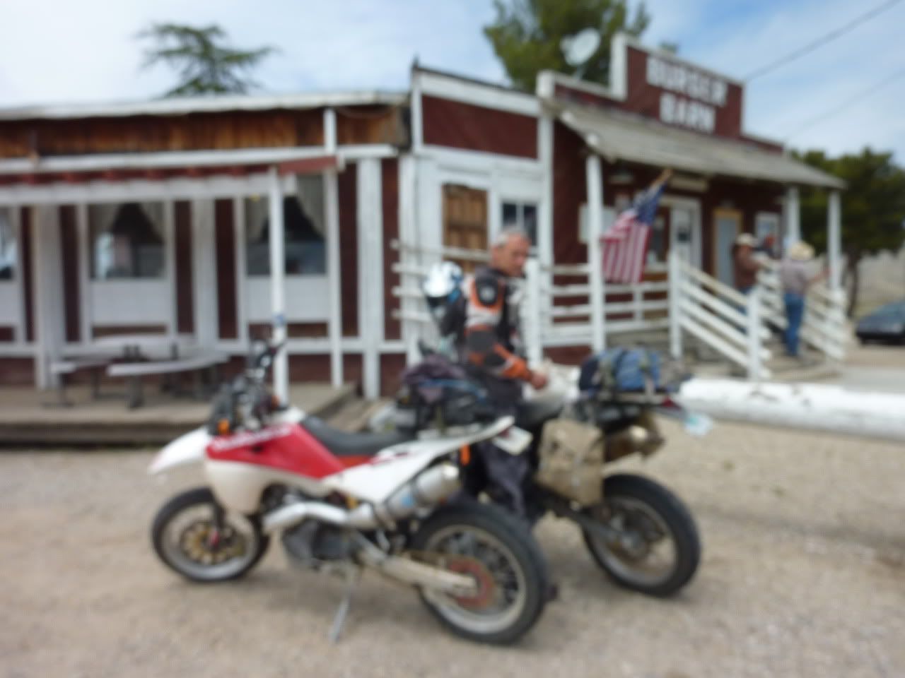
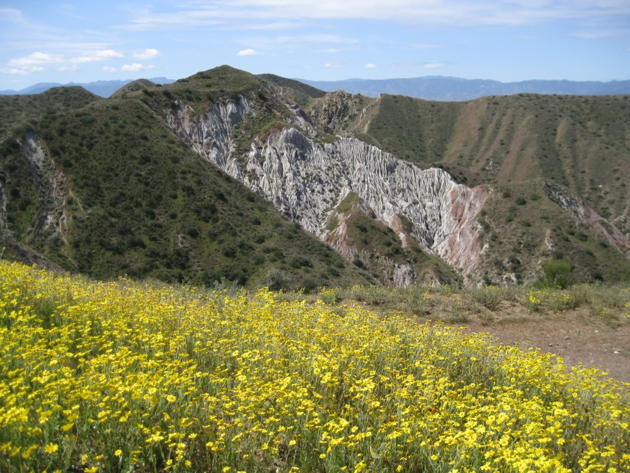
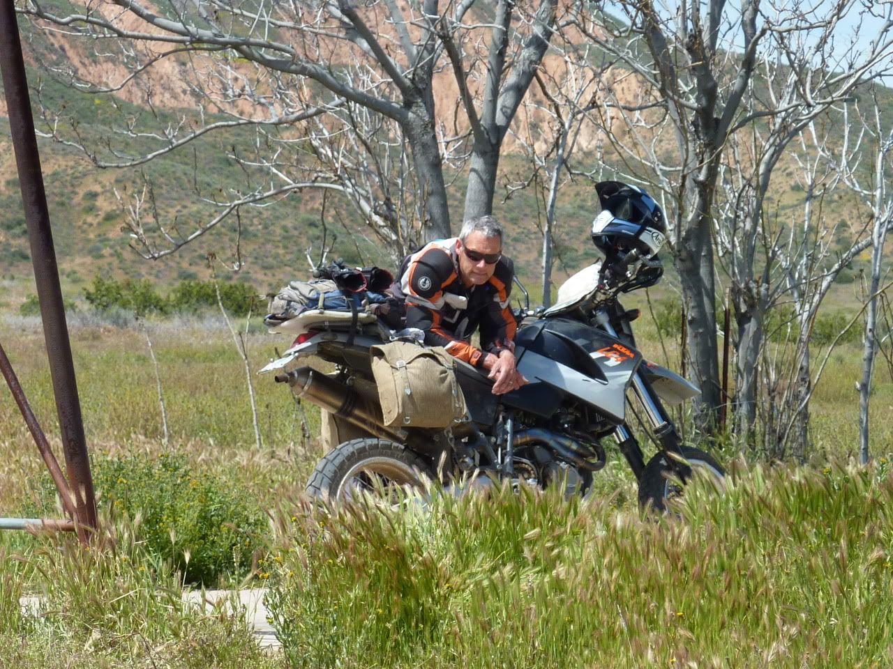
Eric and I made our fourth -and probably final- trip of 2011 down to the Carrizo Plain last weekend. We wanted to catch the tail end of the wildflower bloom before the heat set in and turned all the wonderful colors into varying shades of brown. We'd heard that the wildflowers were done but figured if we poked around long enough we'd find something interesting to look at. The Plain did not disappoint.
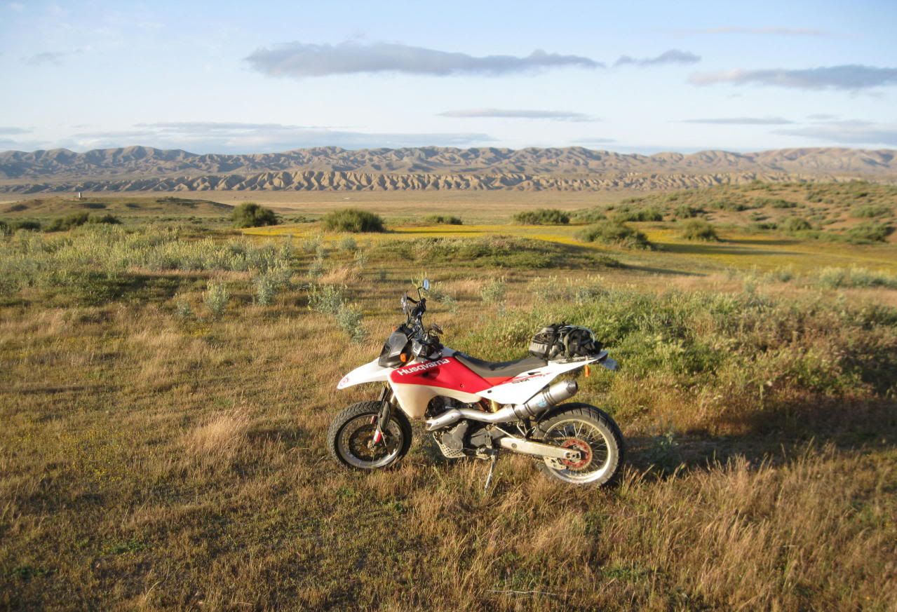
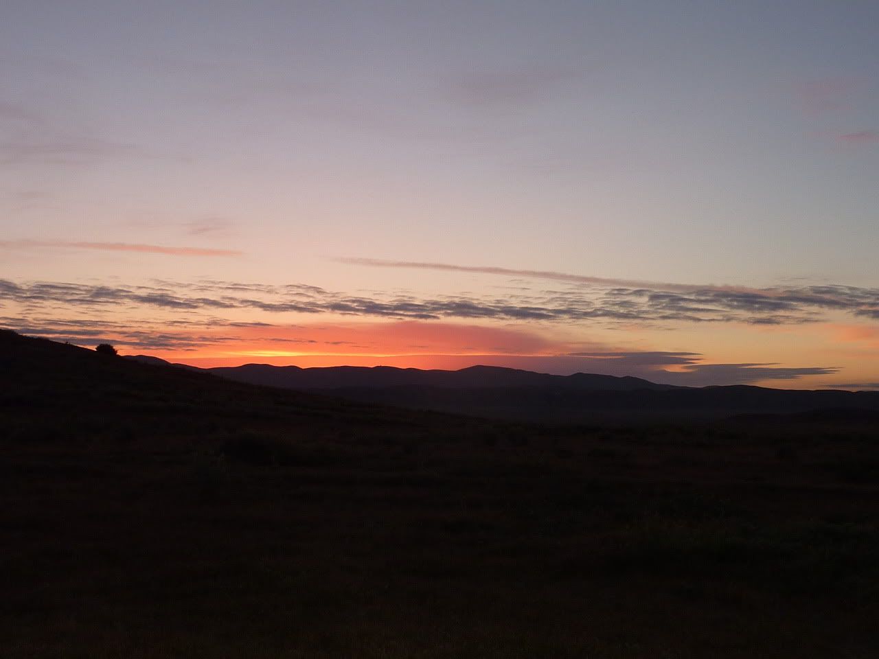
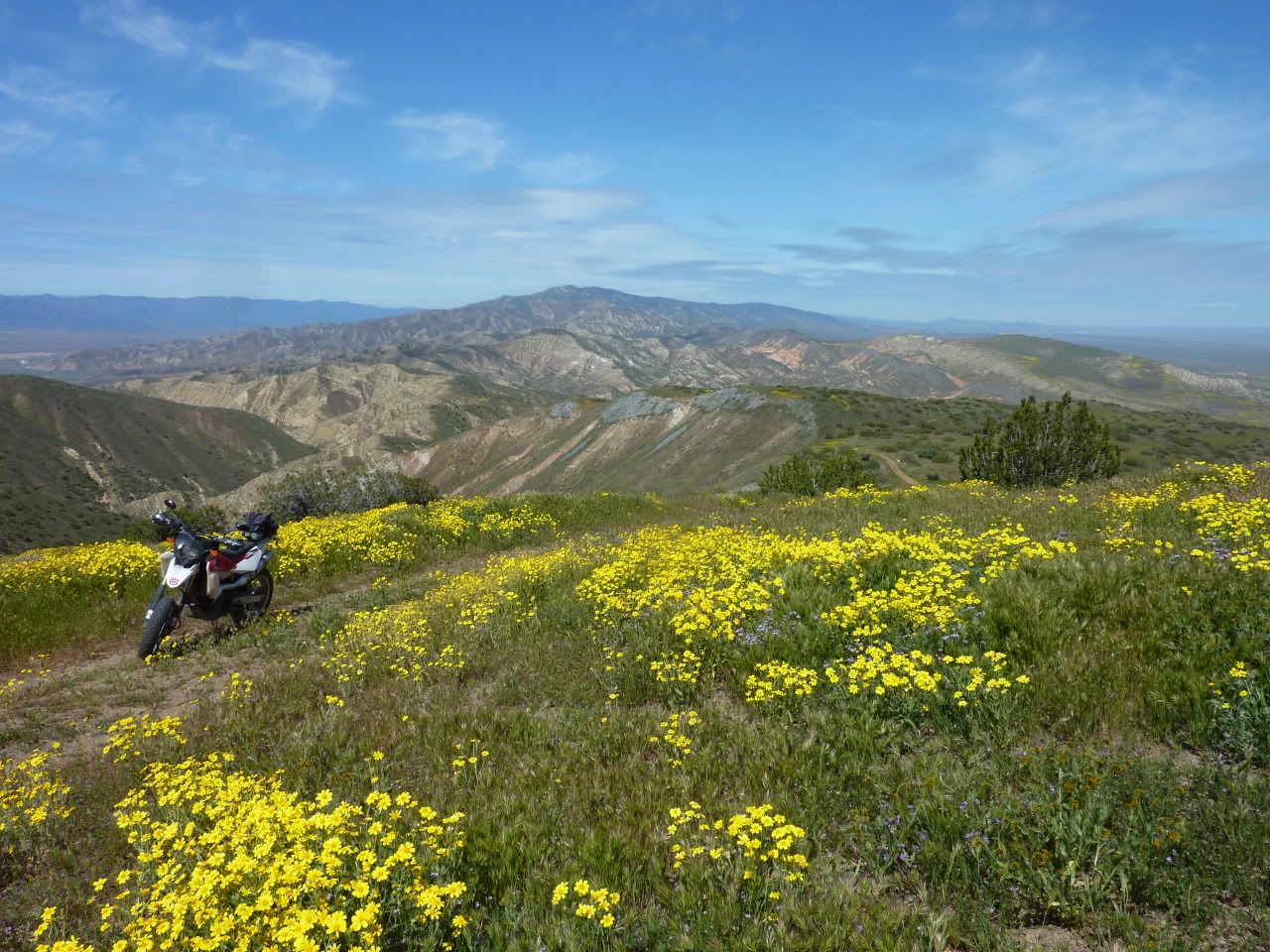
I love sleeping in as much as the next guy, but greeting the sun has its own rewards down on the Plain...
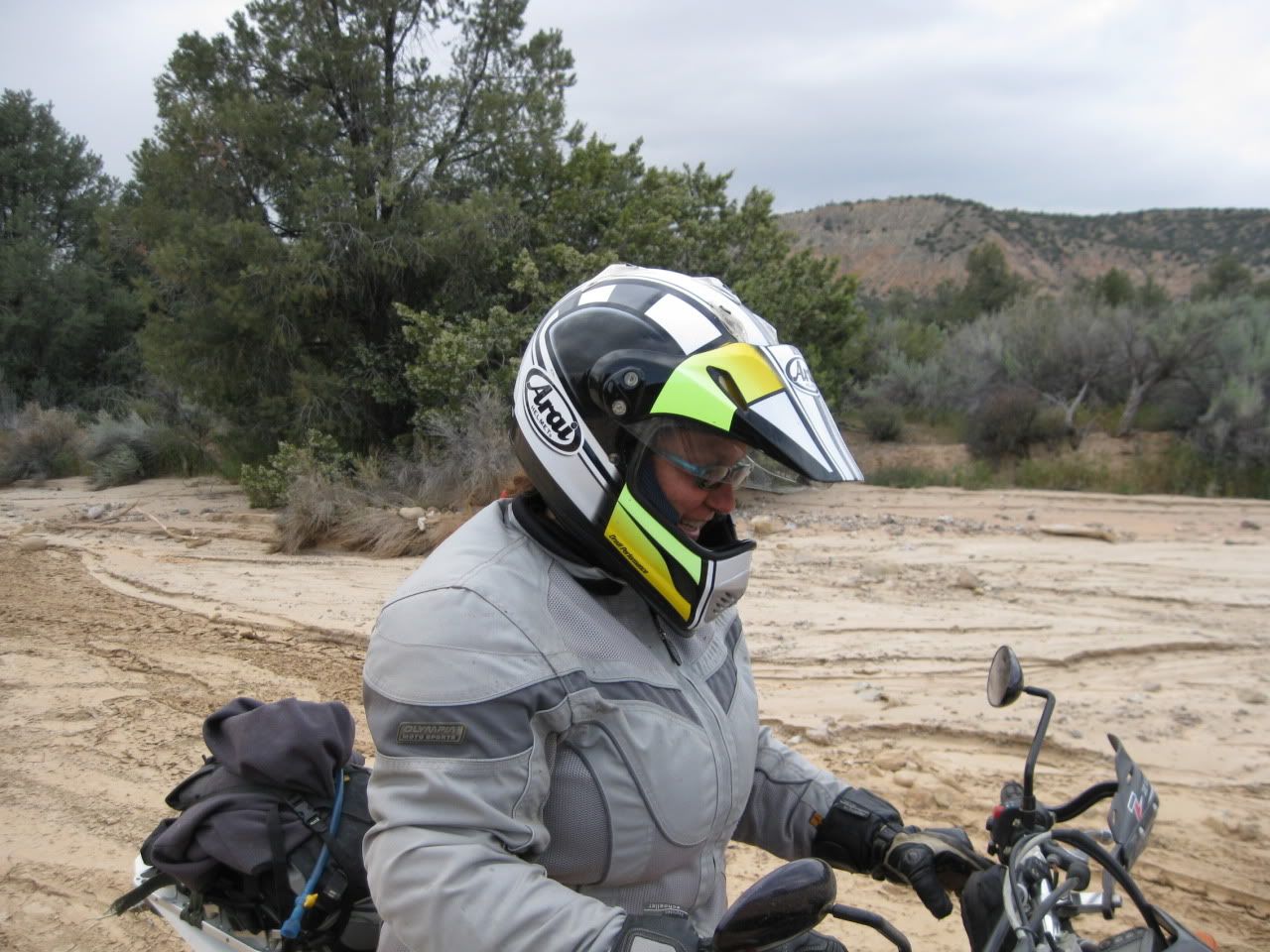
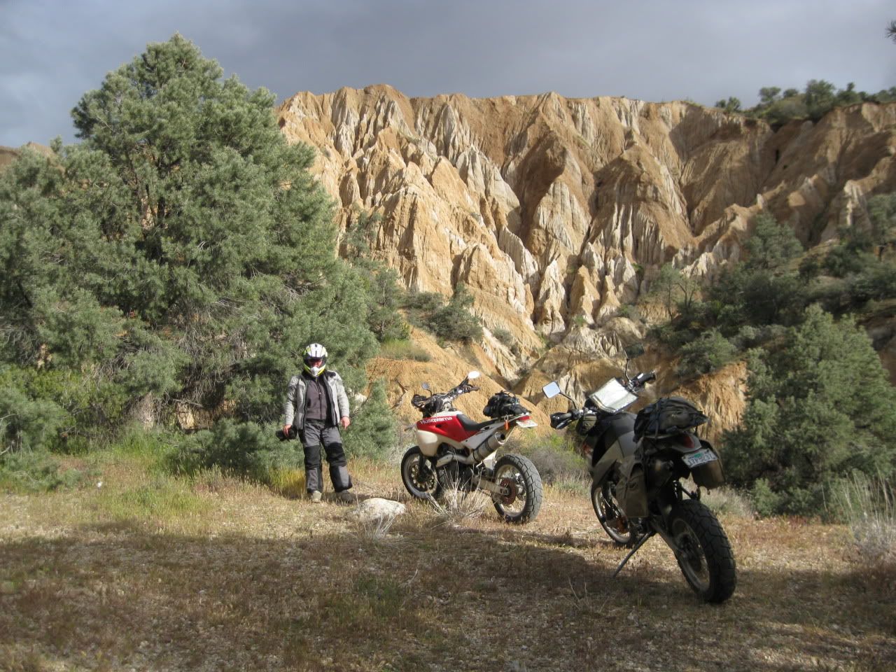
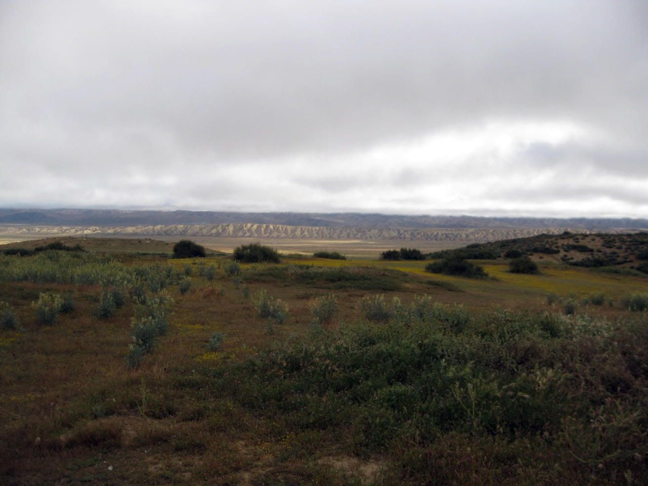
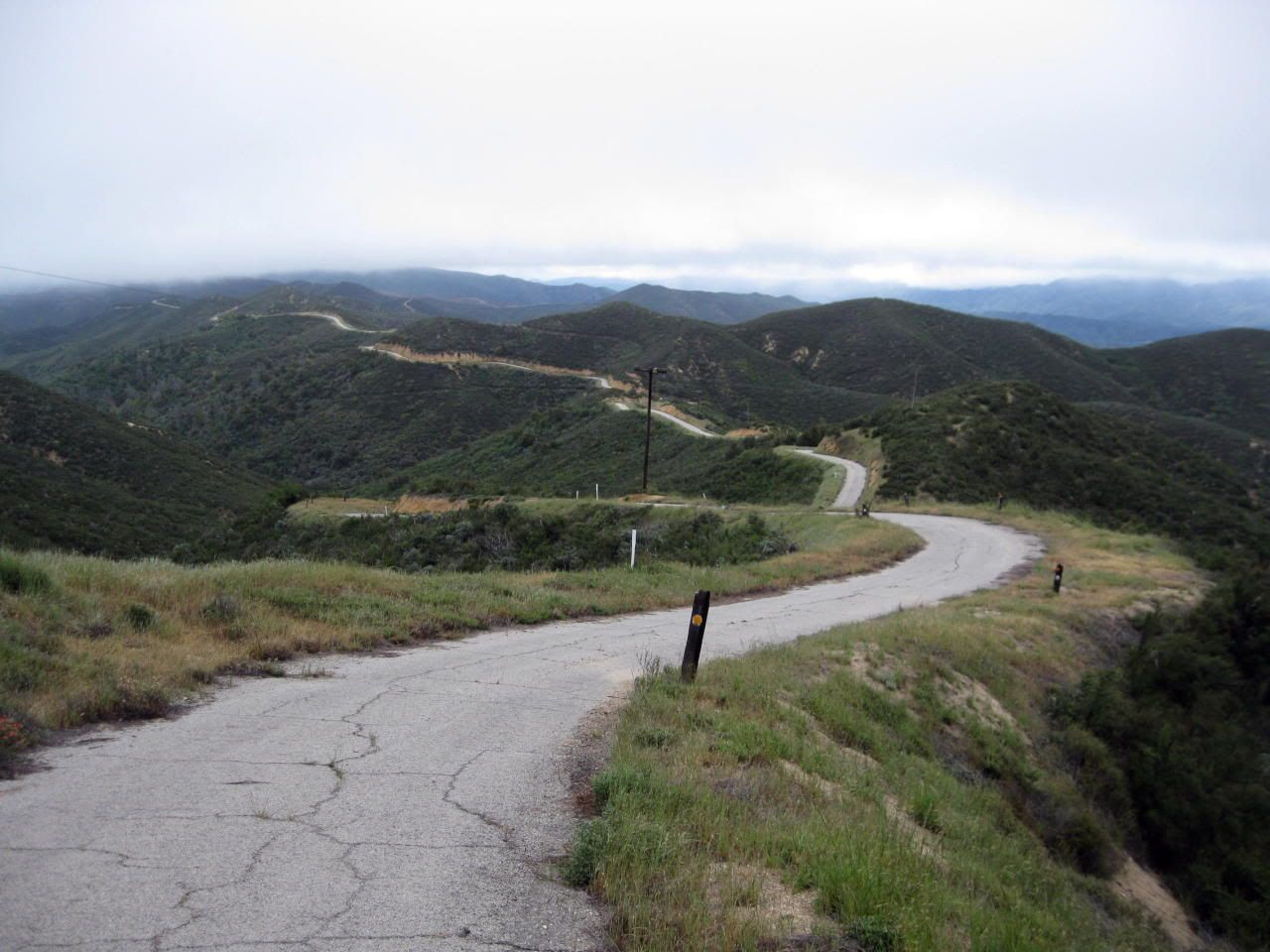
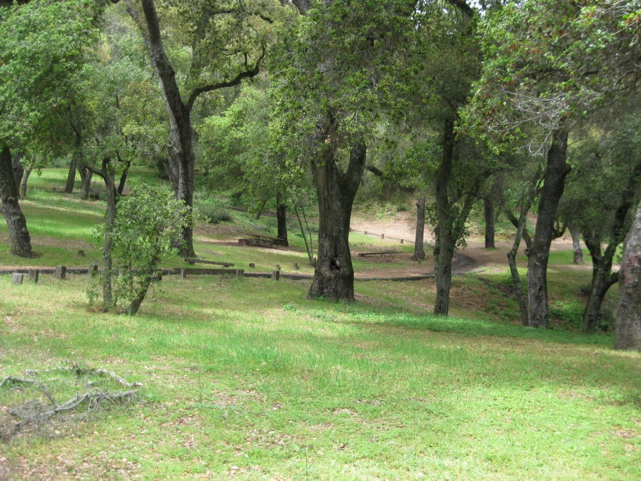
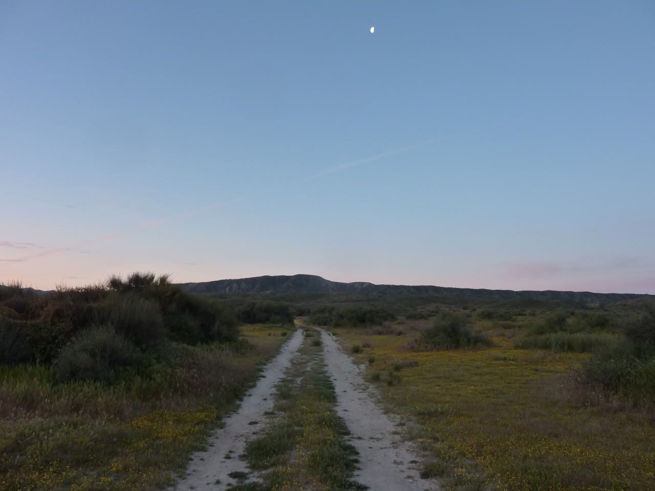
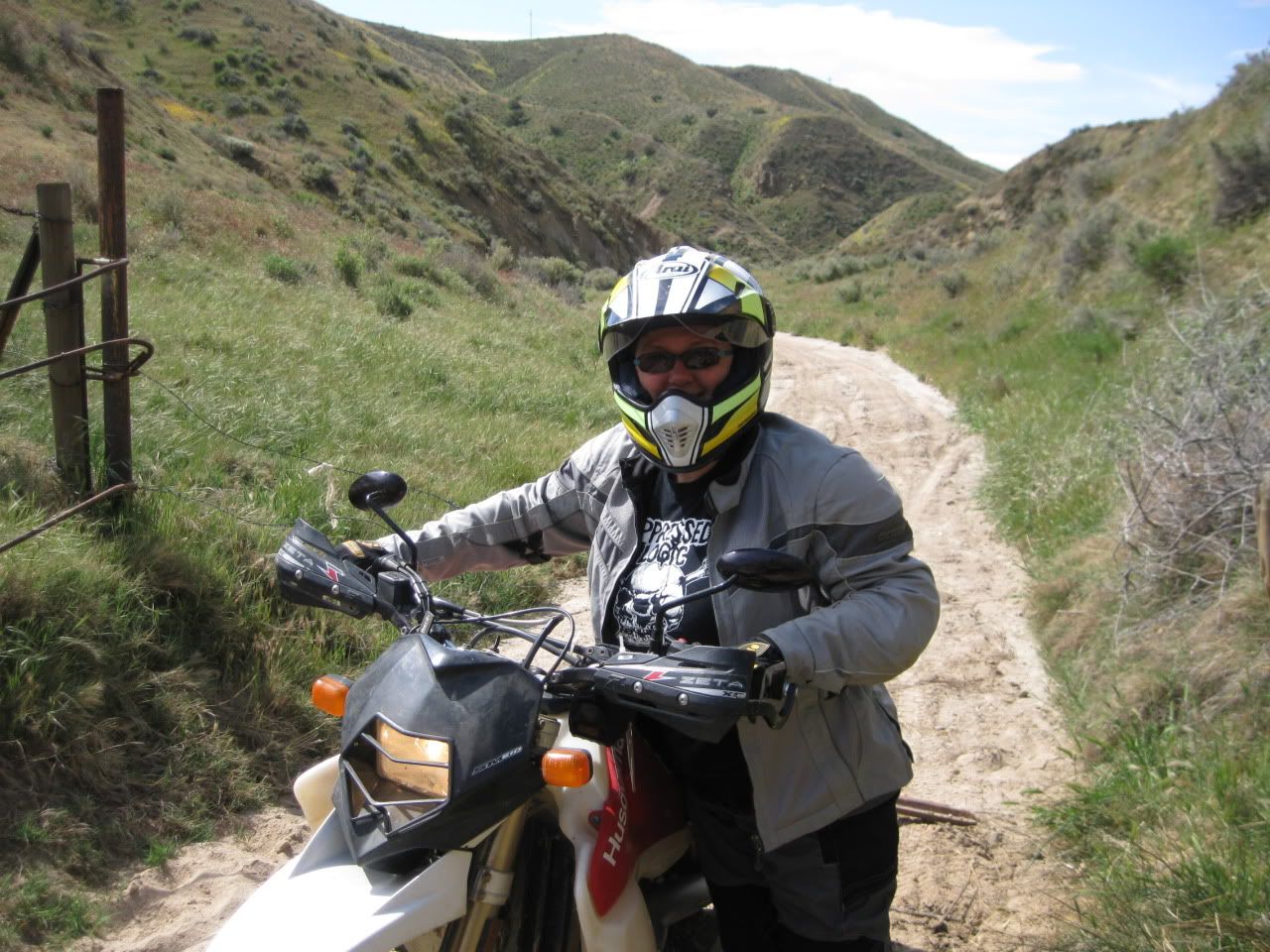
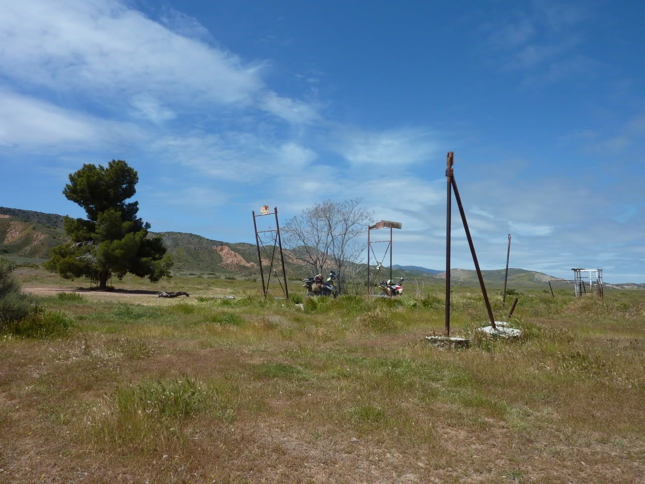
We had the place to ourselves...as usual...
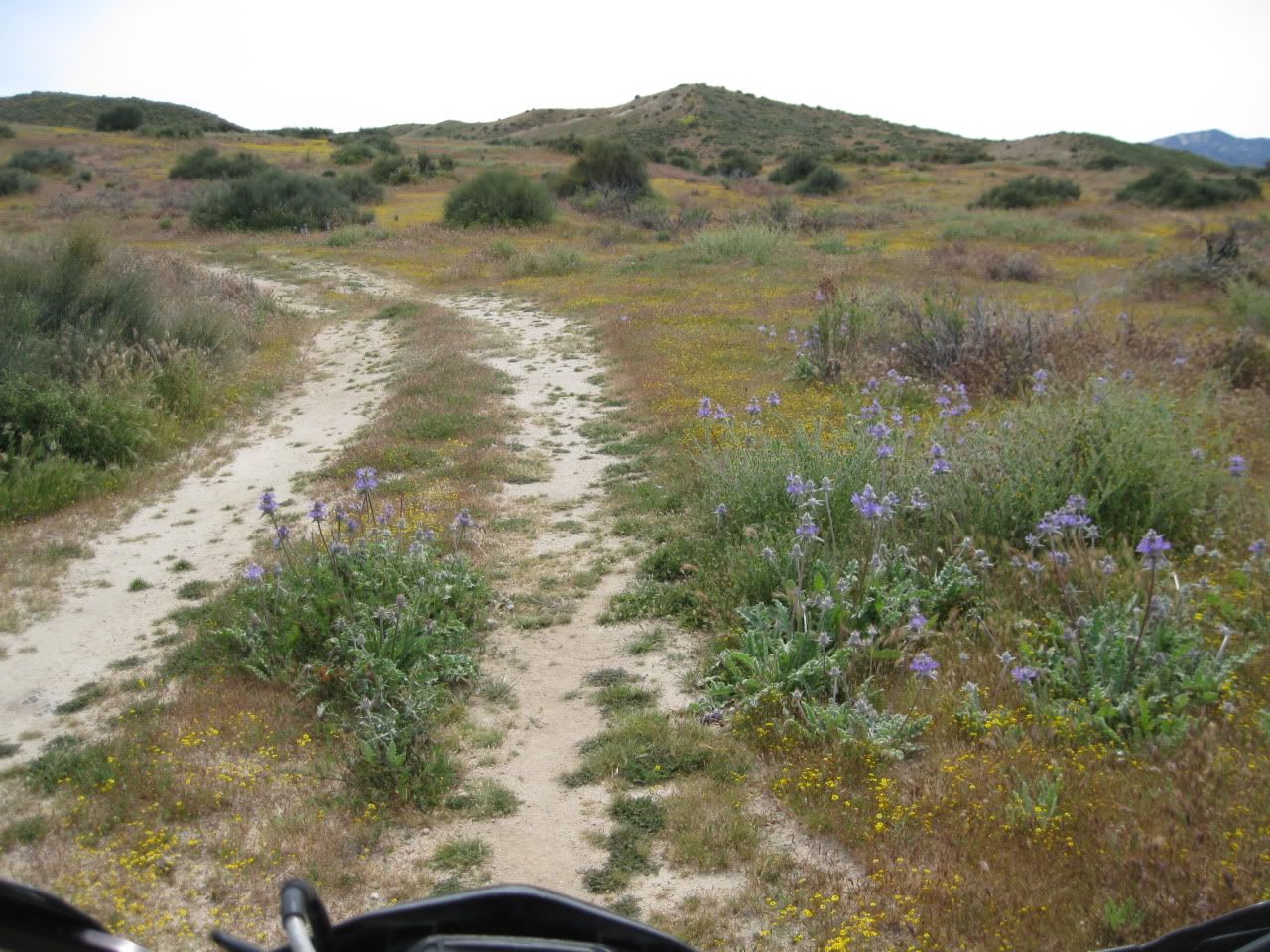
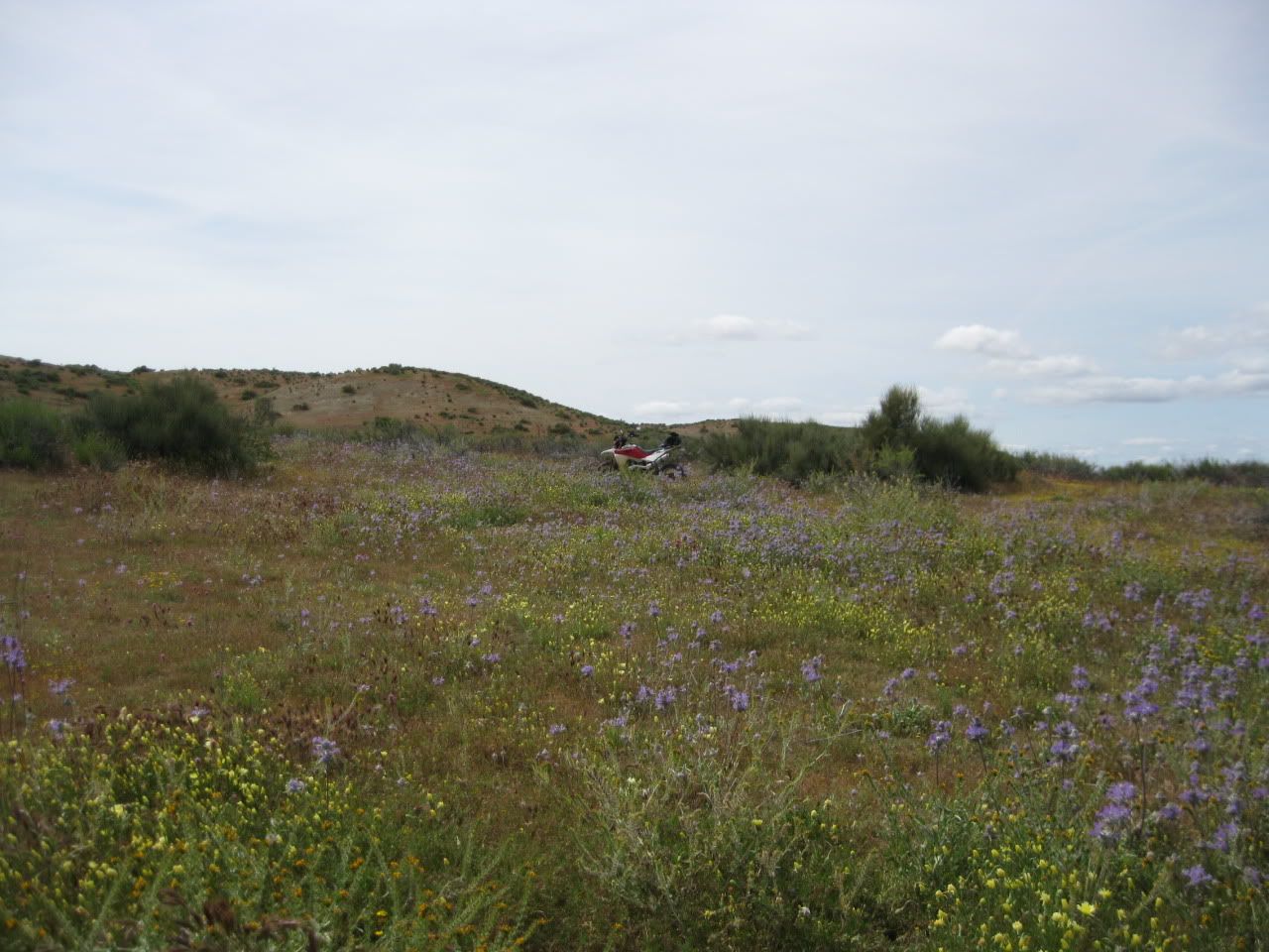
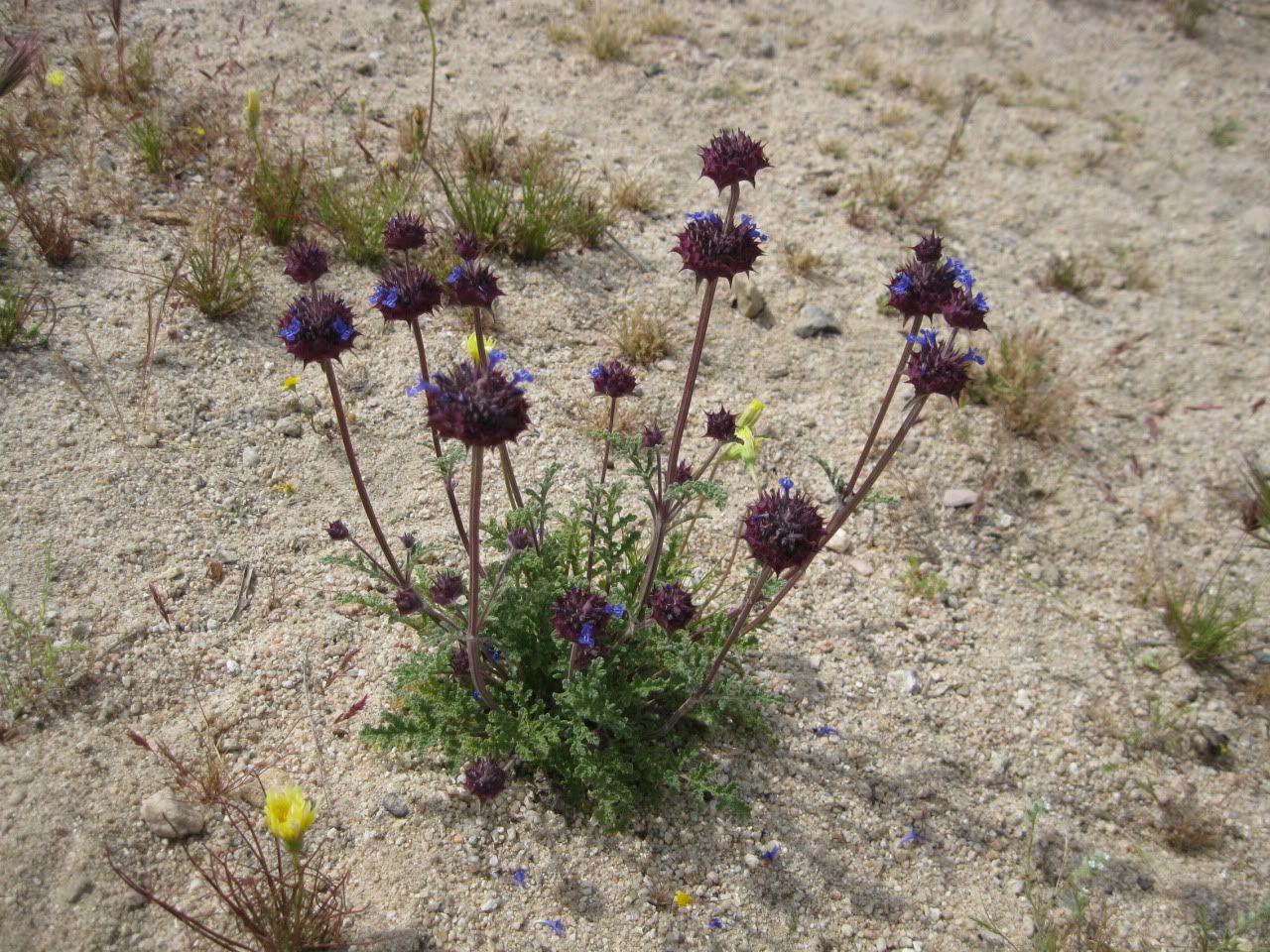
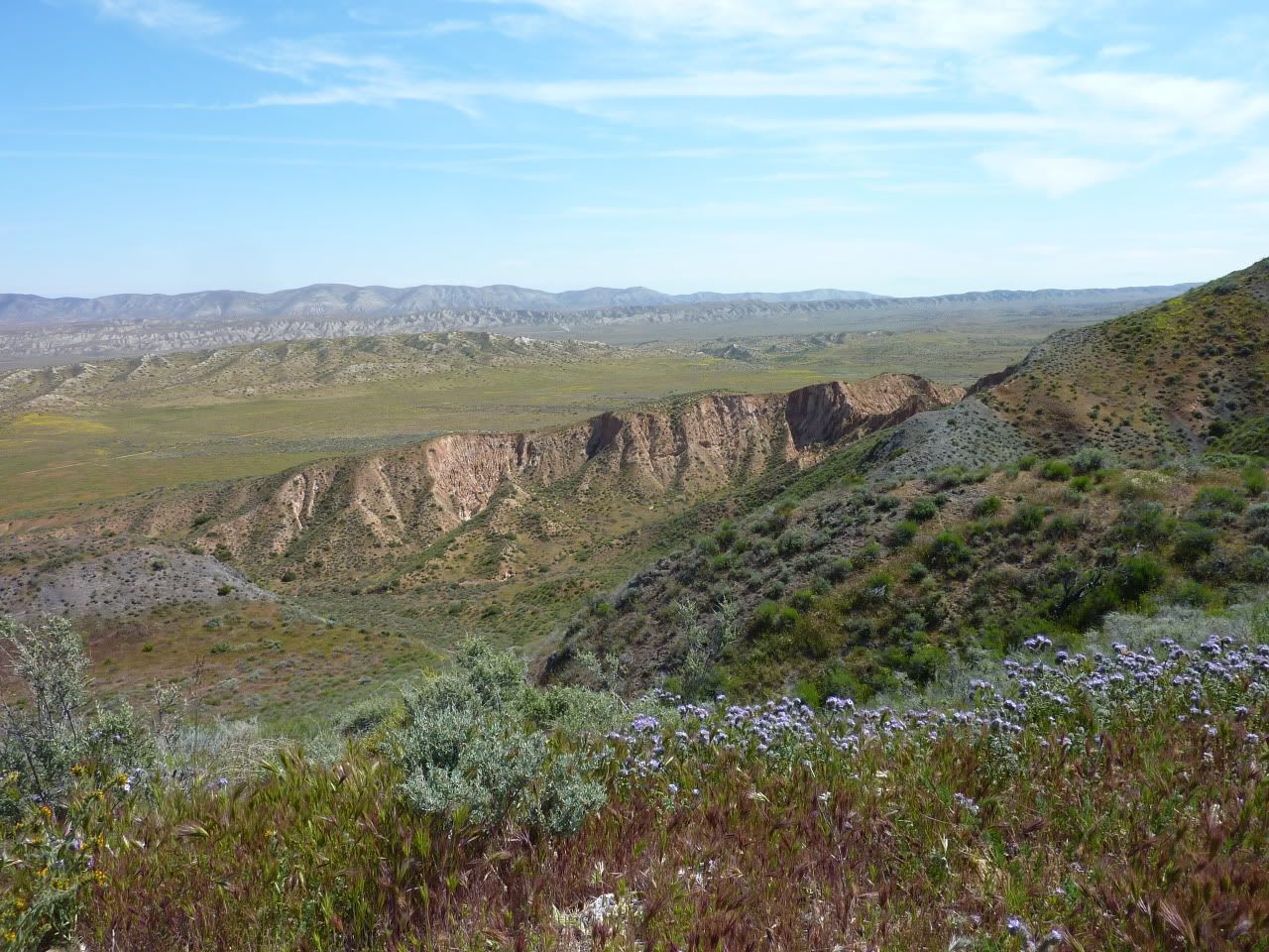
The air was fragrant beyond belief, probably something to do with the dew-covered flowers...

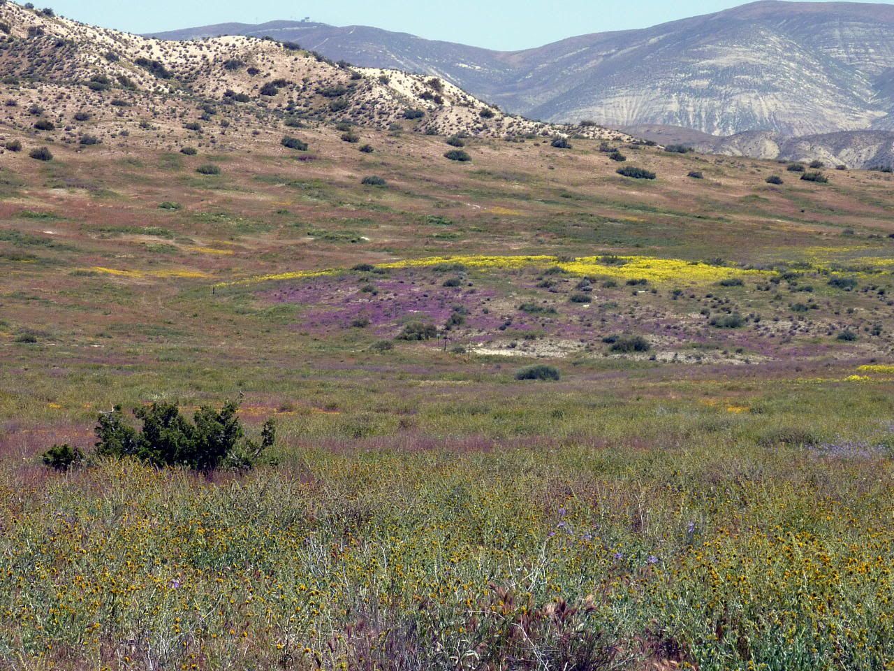
They were everywhere, just not on the floor of the plain...
These little guys were digging the warmth of the new sun...
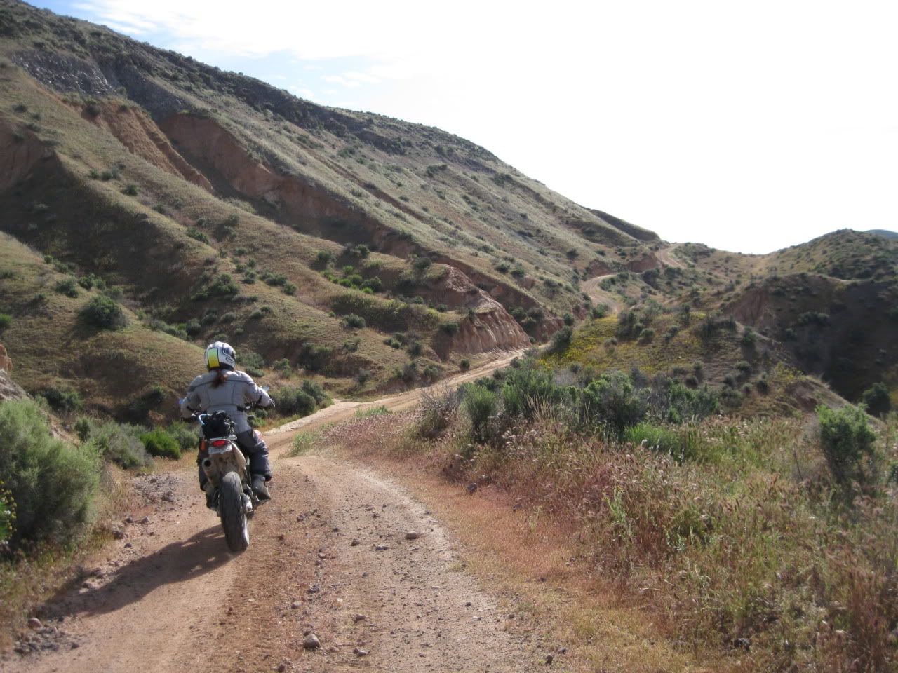
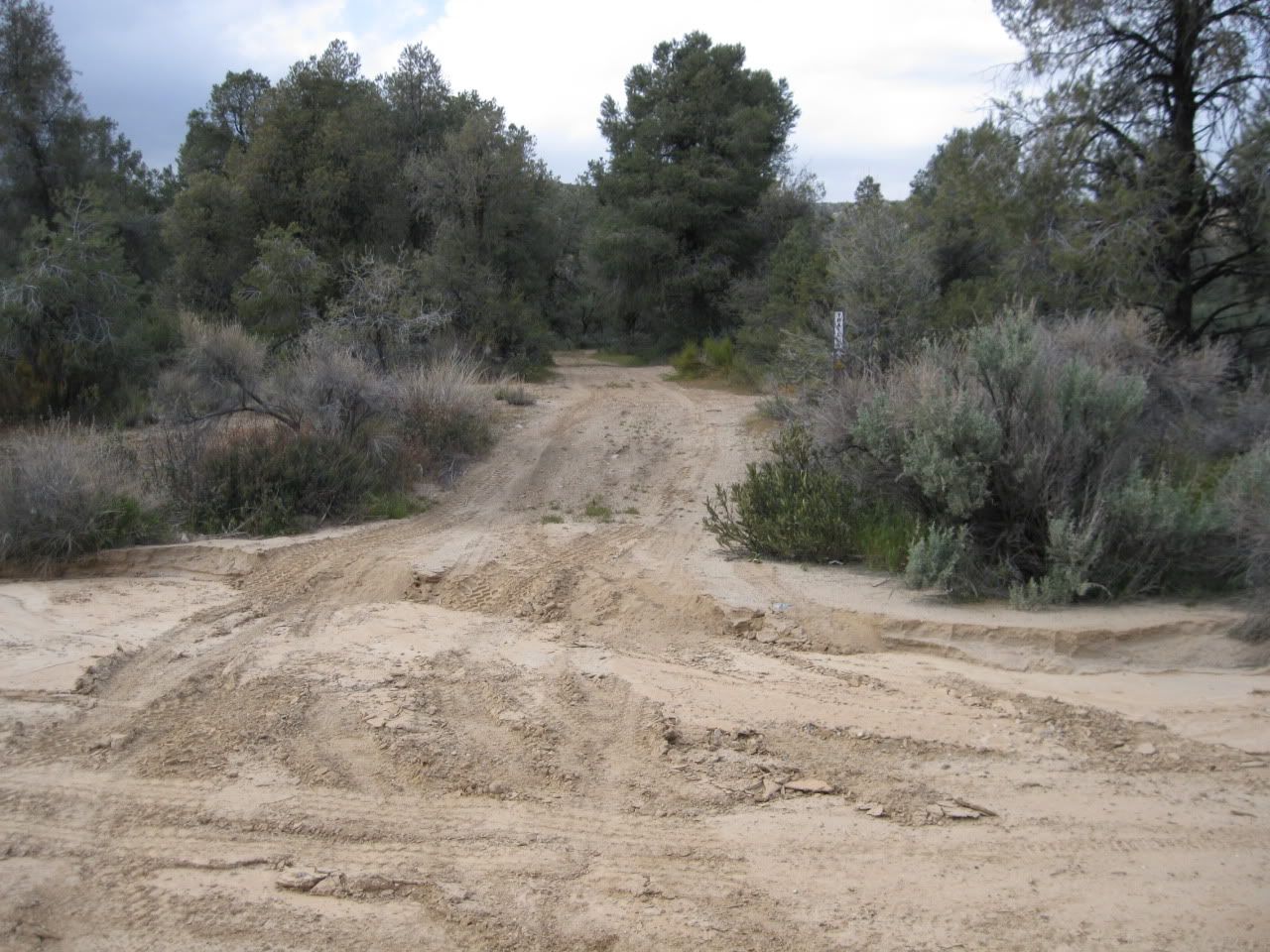
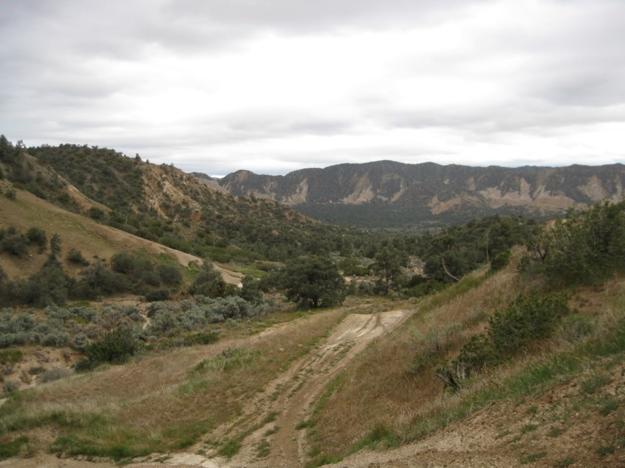
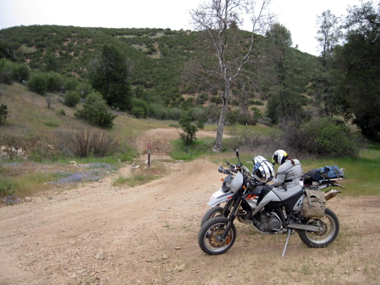
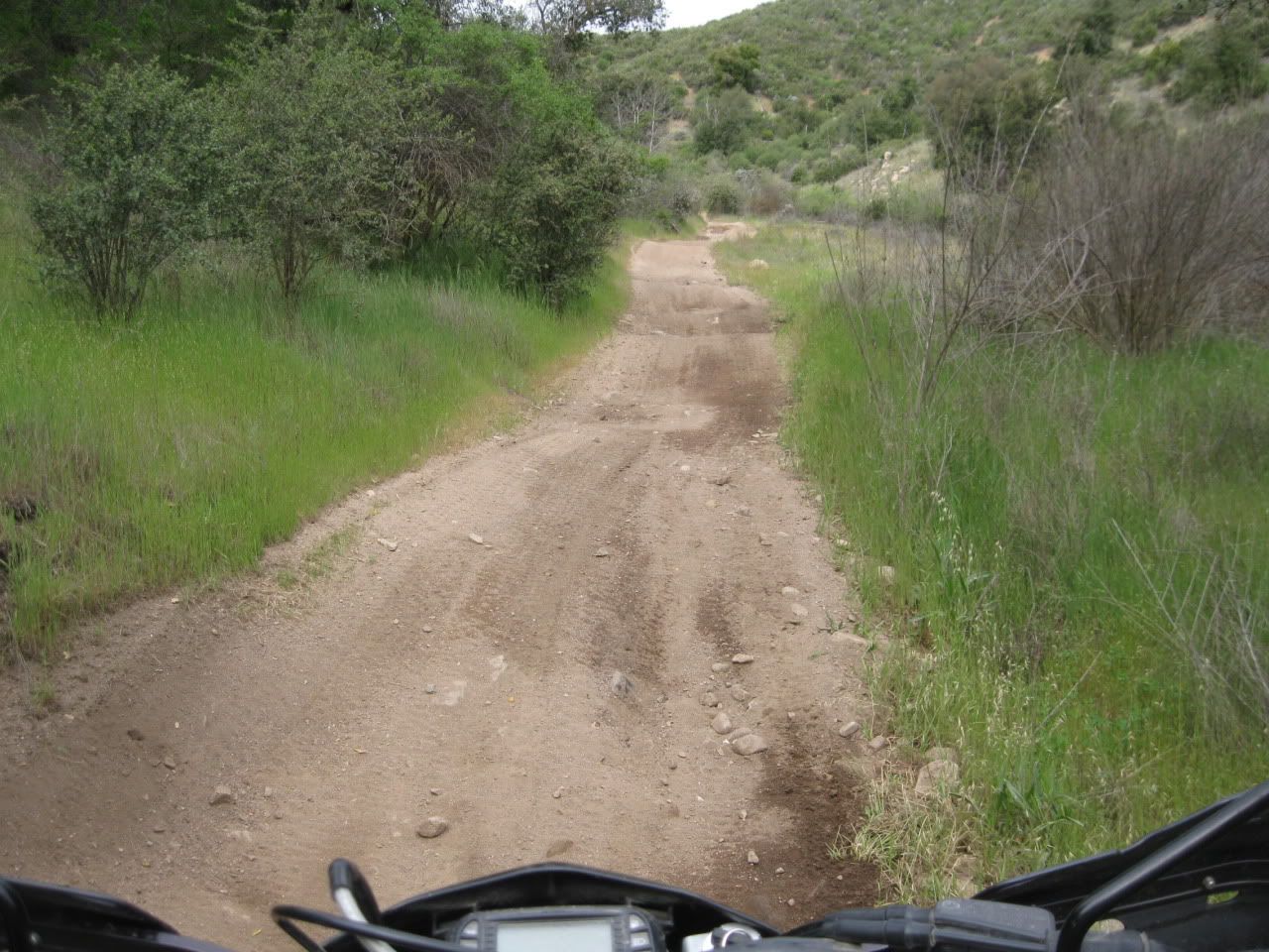
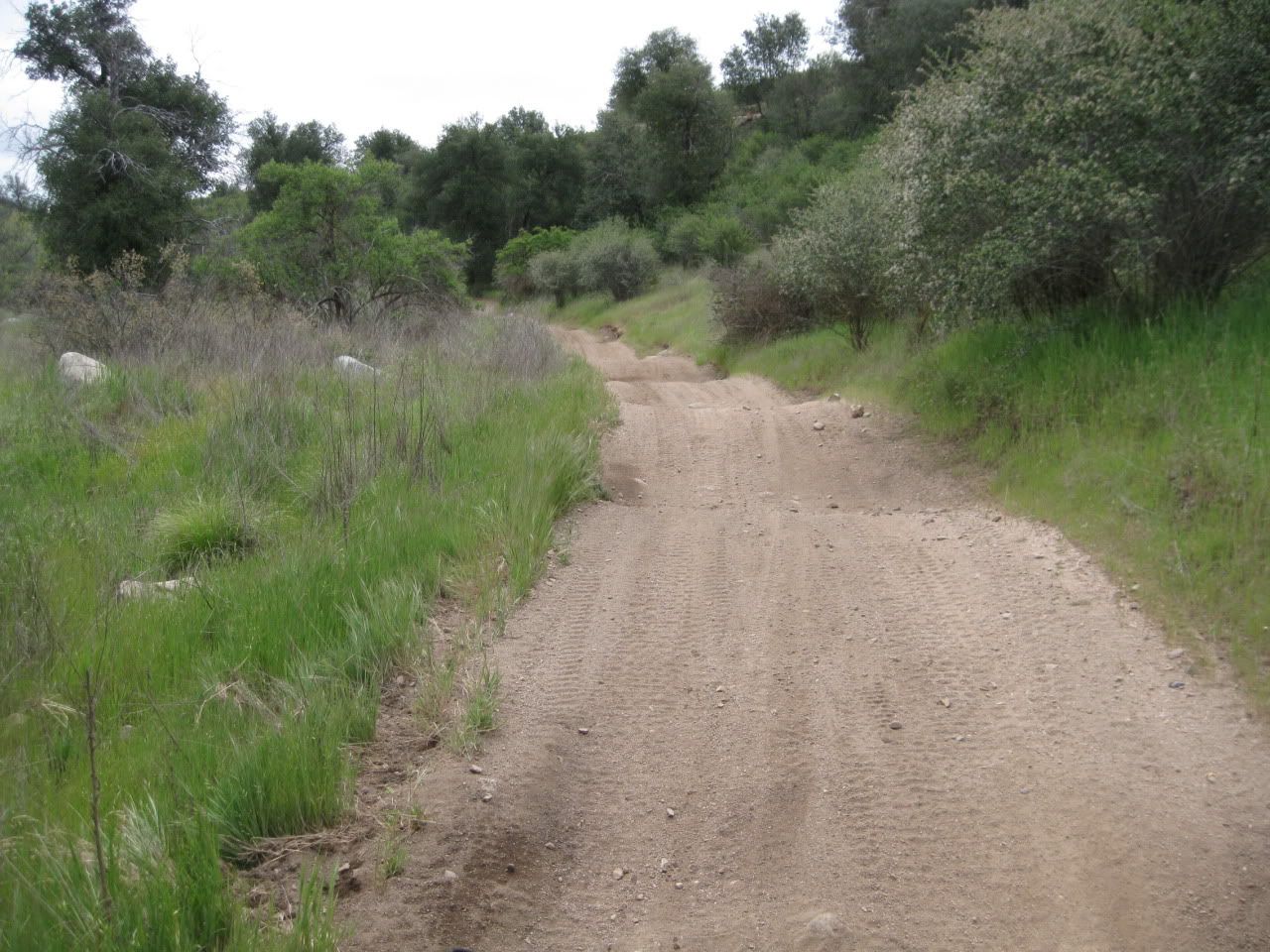
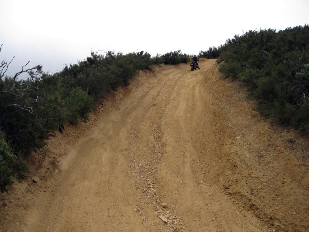
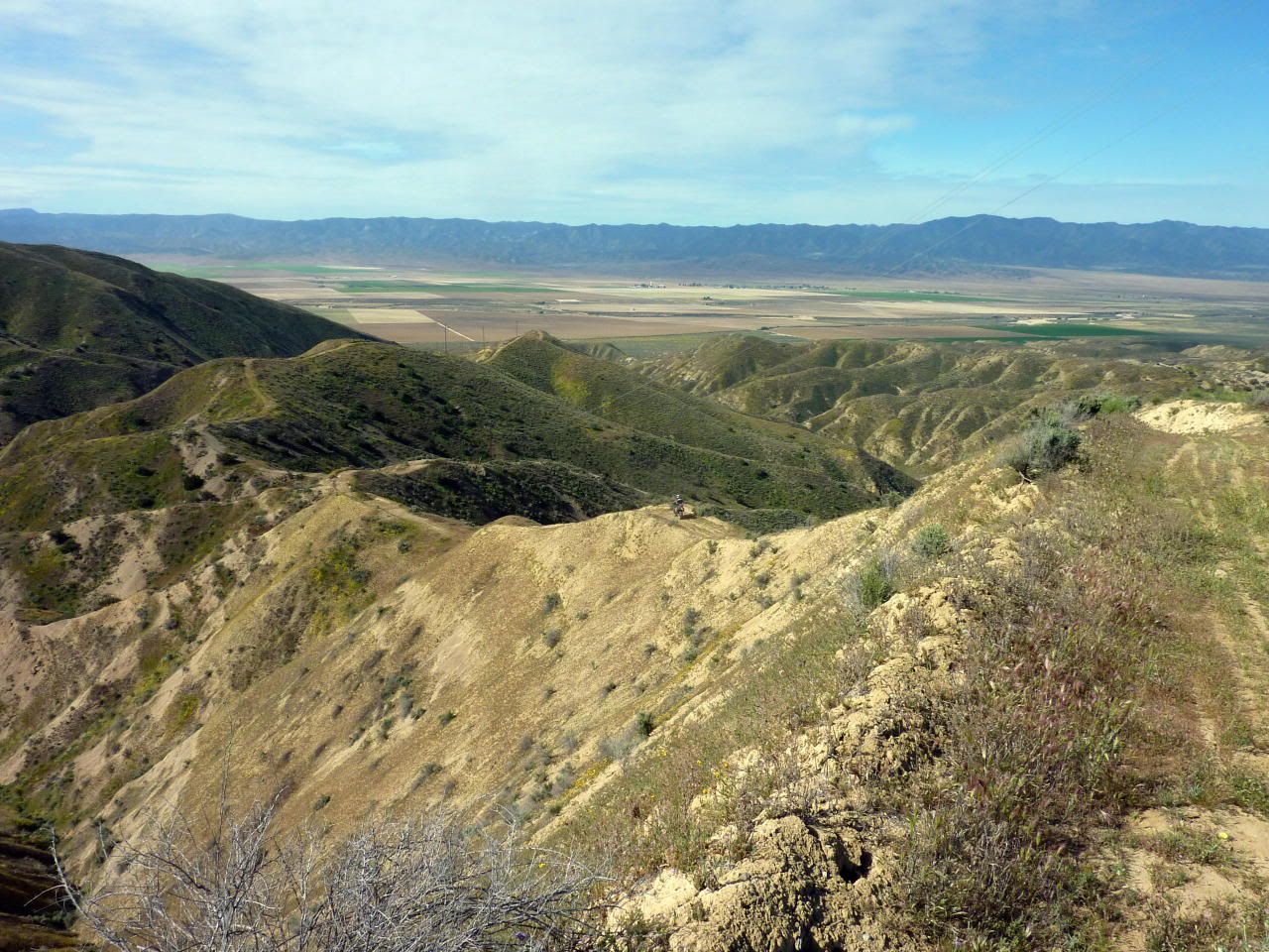
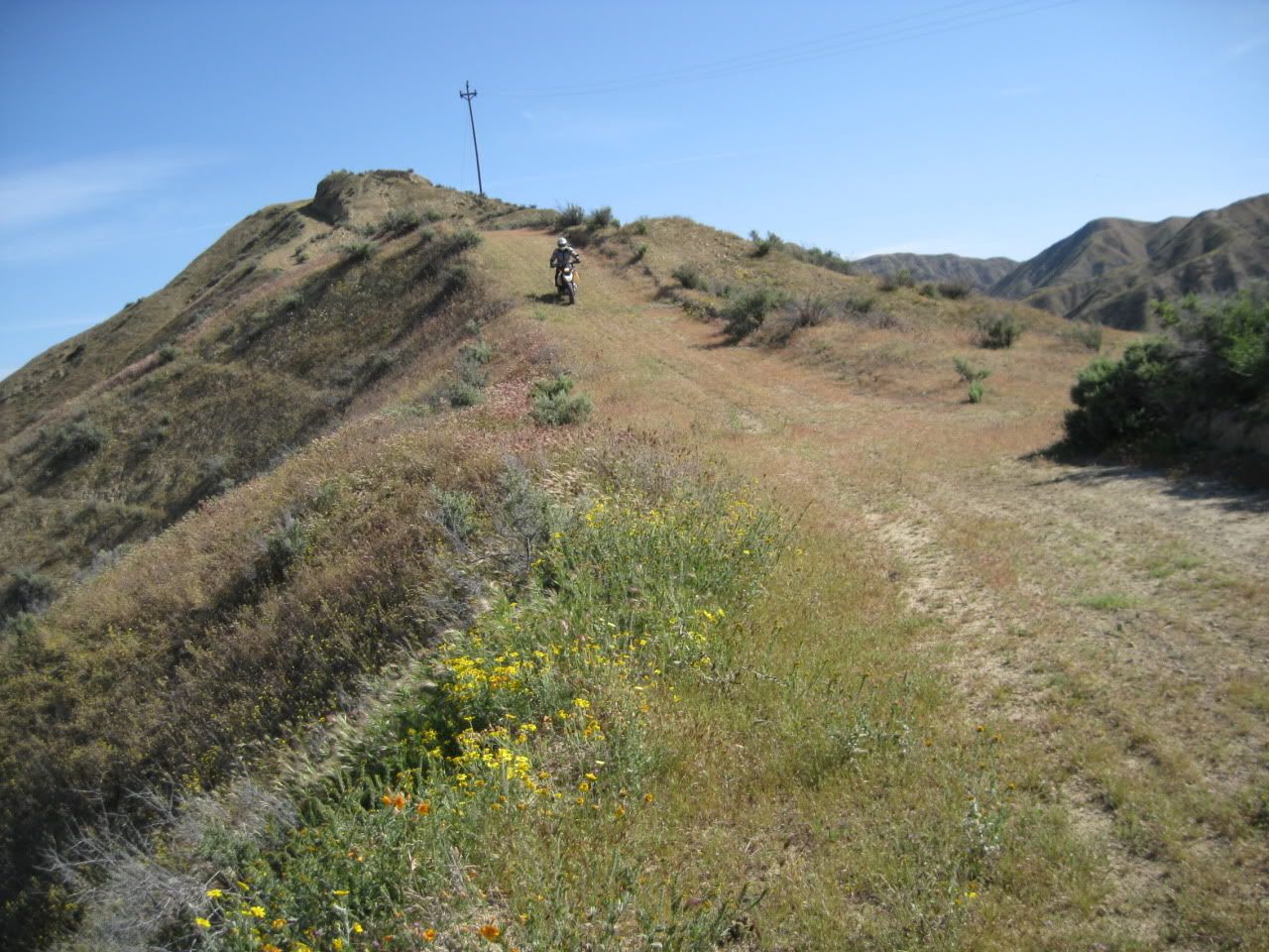
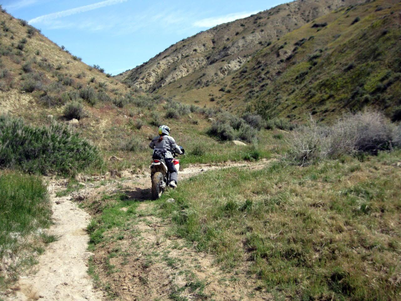
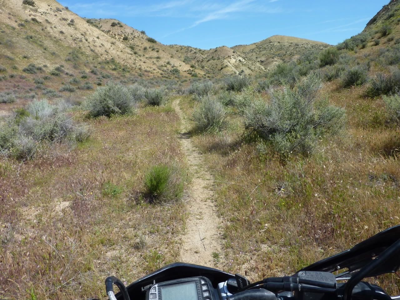
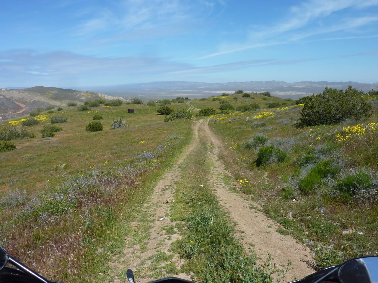
Seems like this road only gets used by critters without wheels...
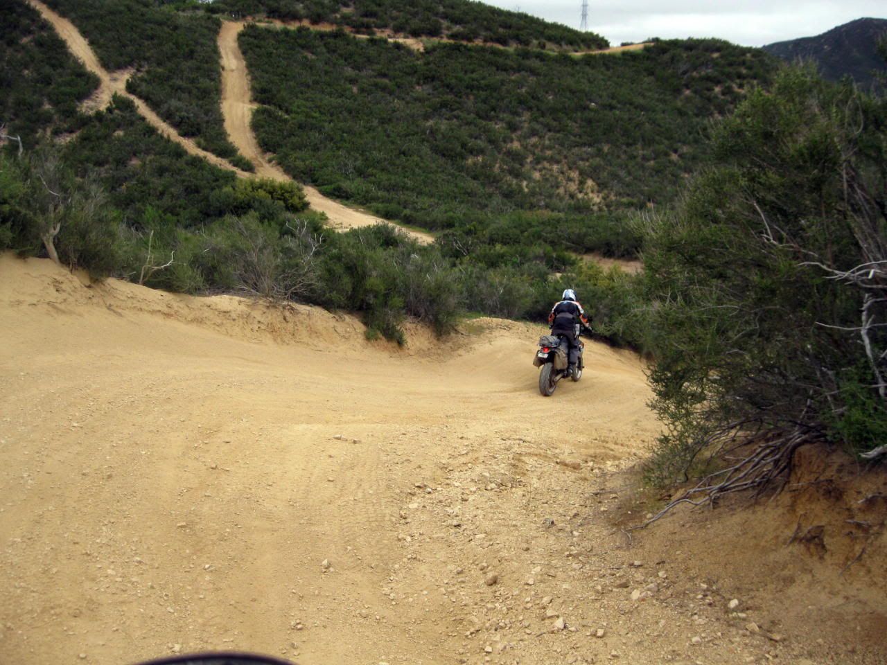
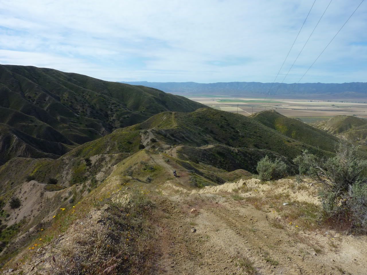
Whoa! Check it out! Powerlines! Where there's powerlines there's roads...right?
We had fun trying to follow them...
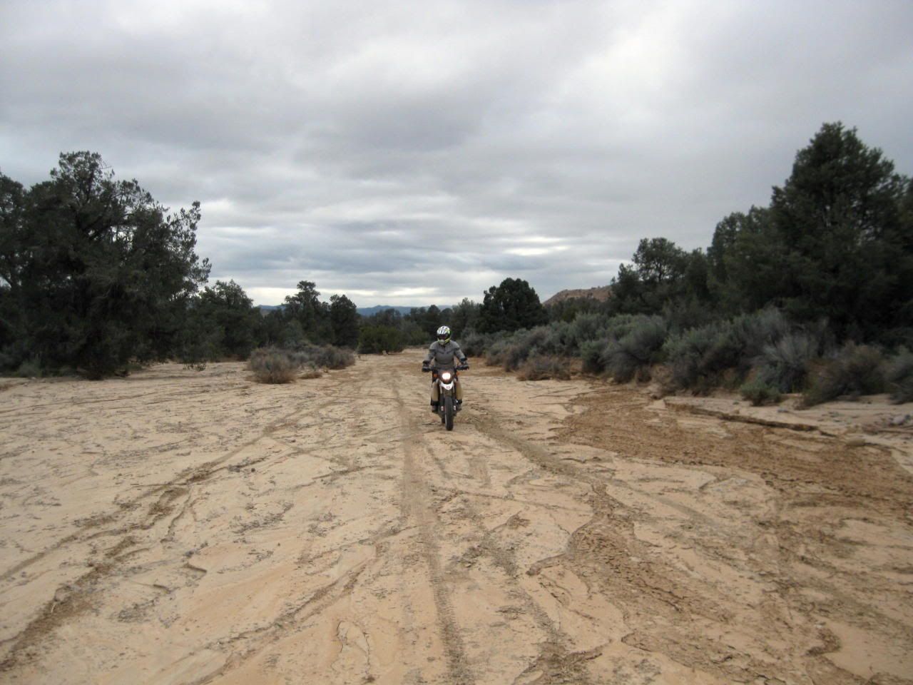
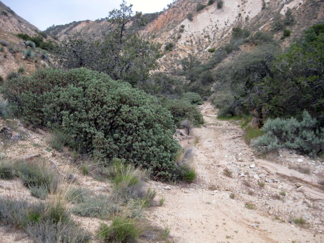
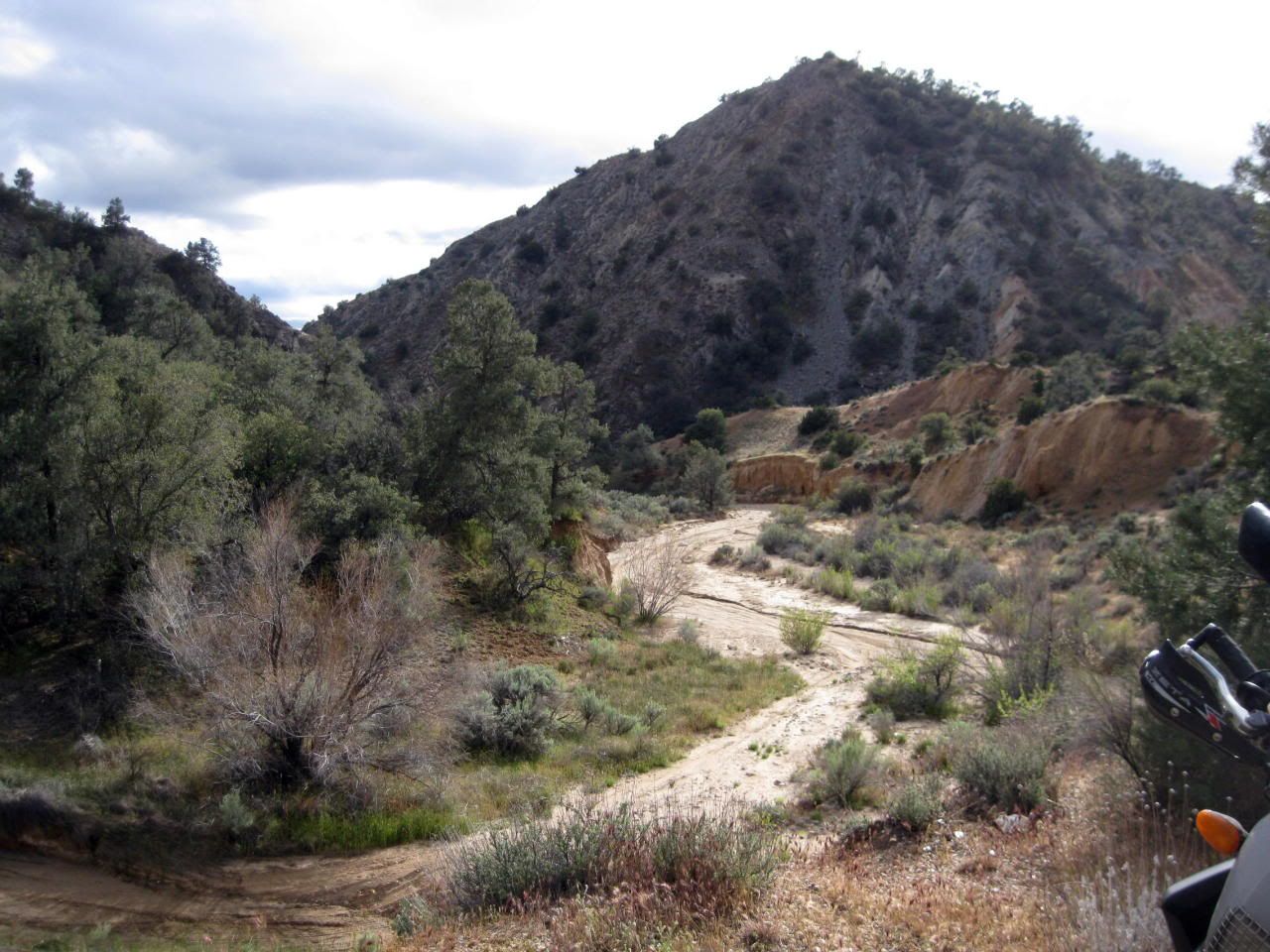
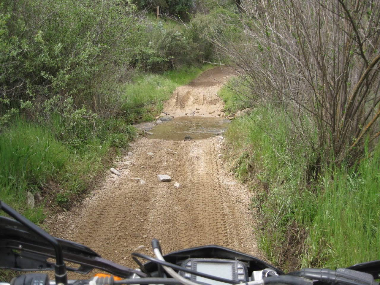
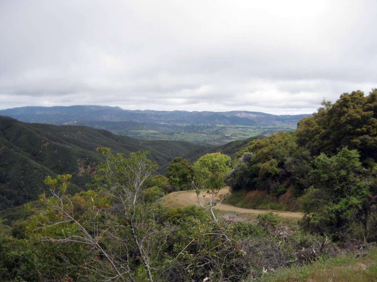
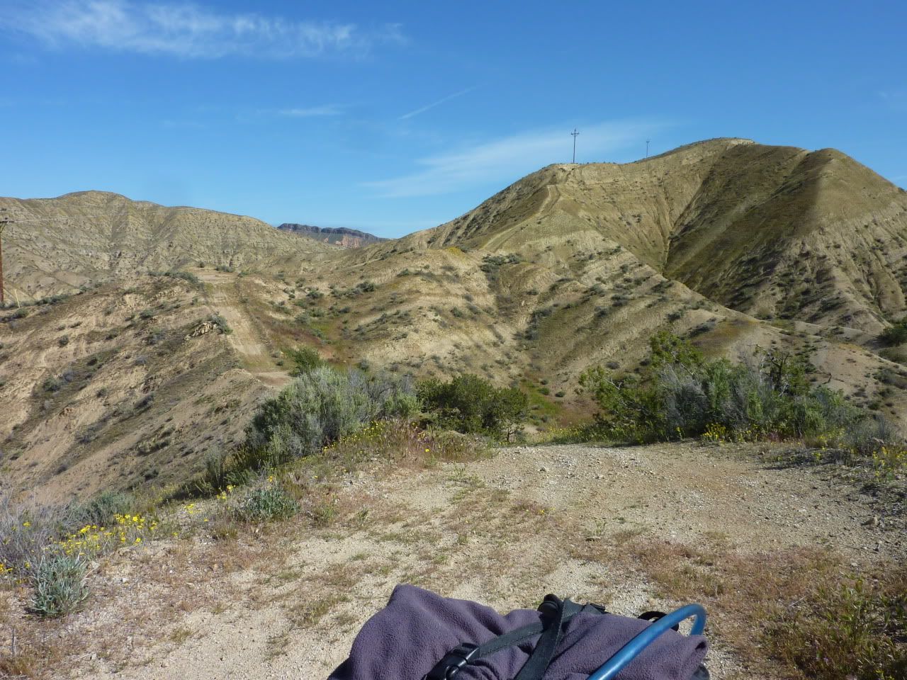
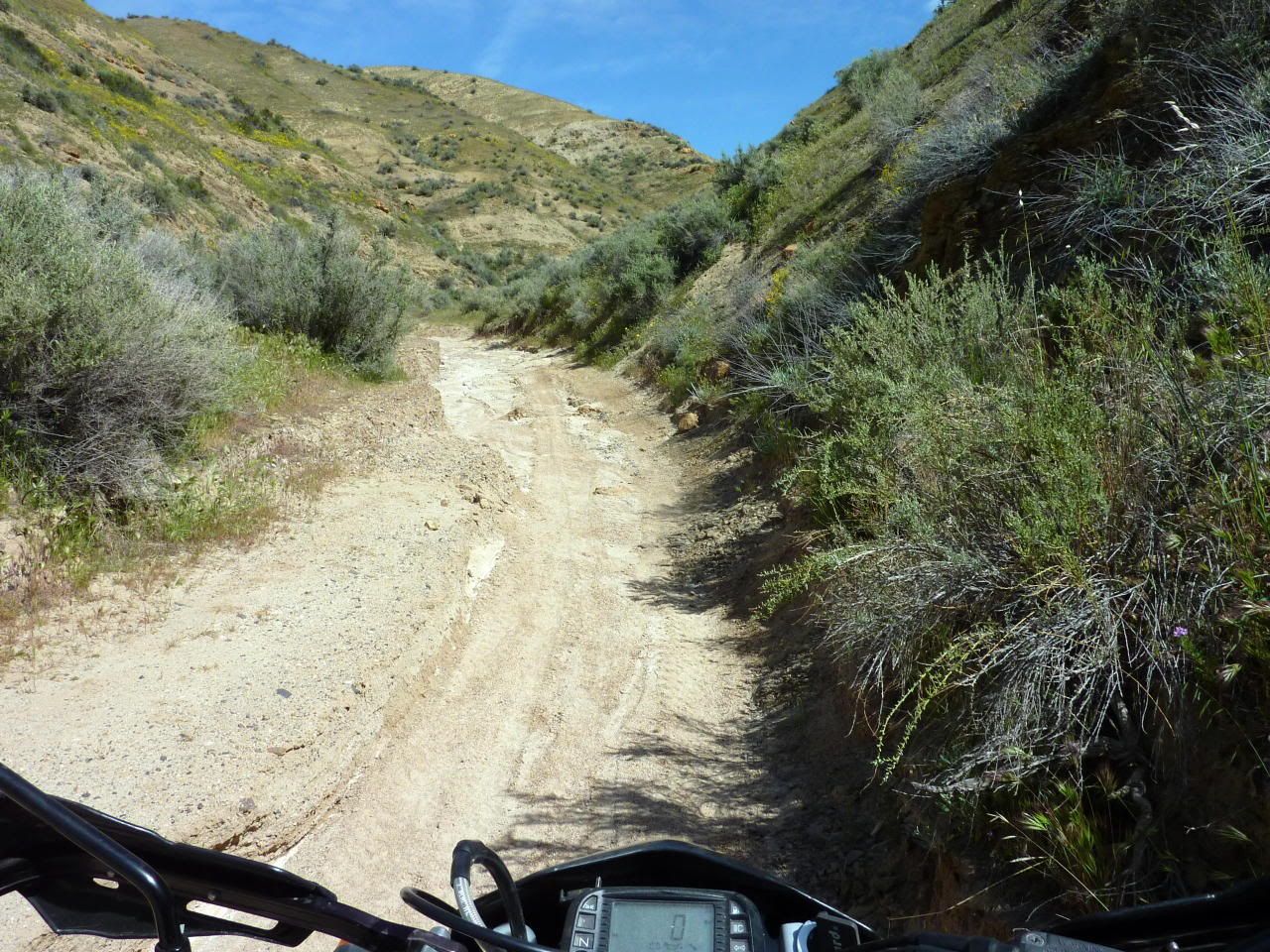
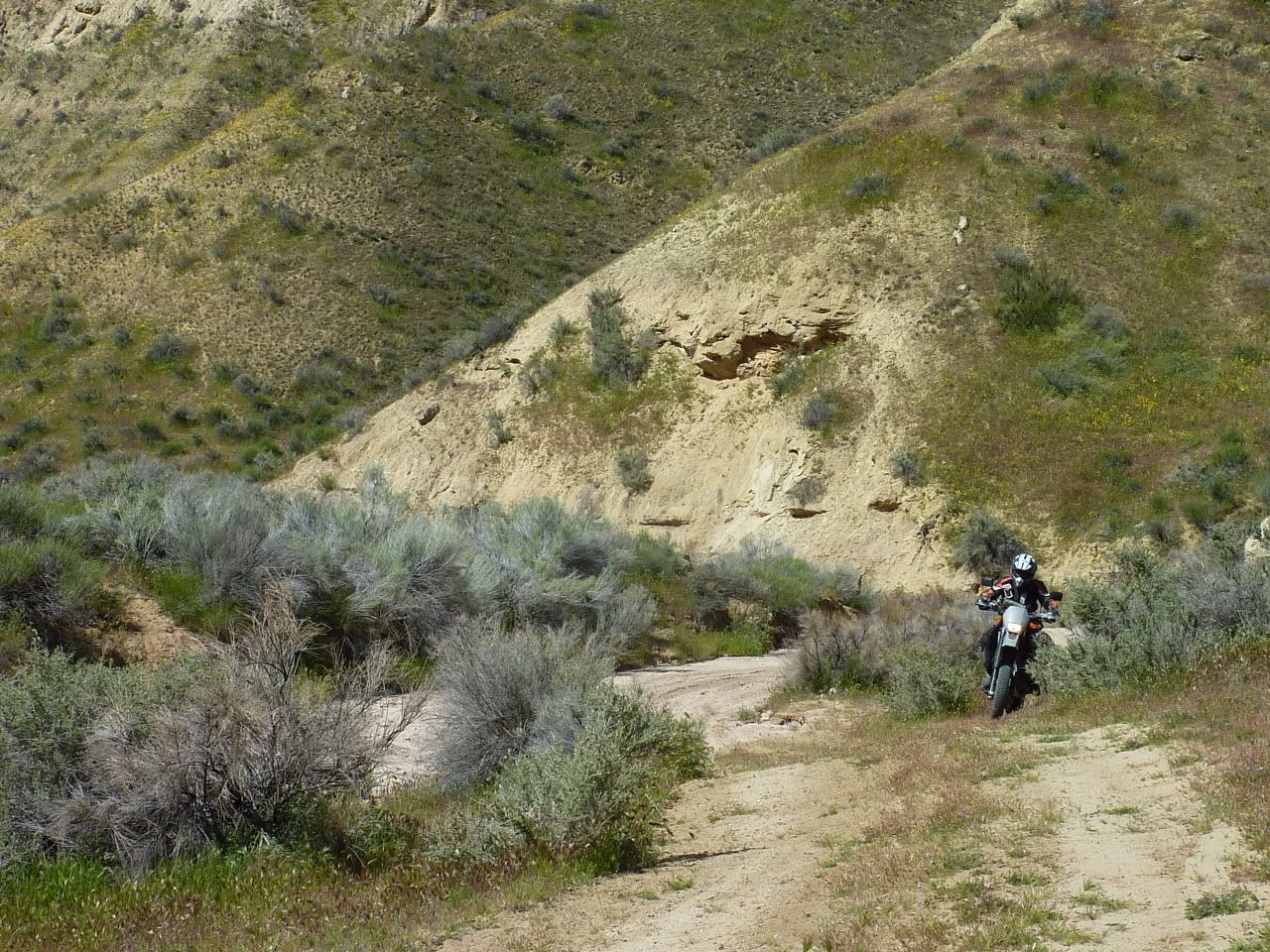
The road just ended and turned into a wash for awhile...a common theme on this weekend...
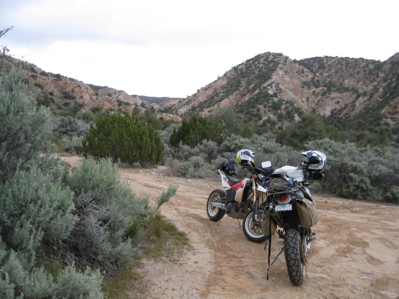
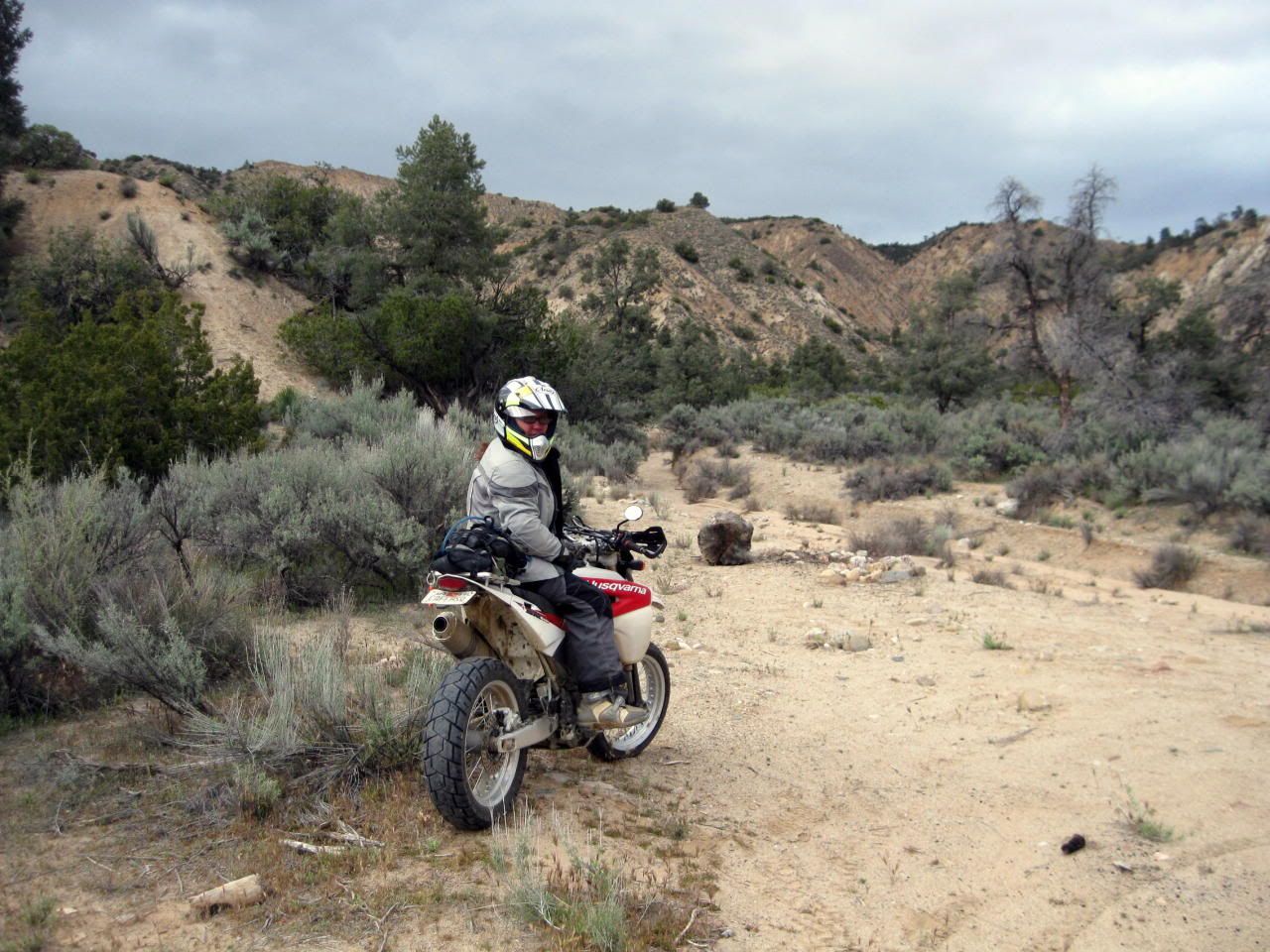
This looked like a roundabout way to follow the powerlines, but OK...
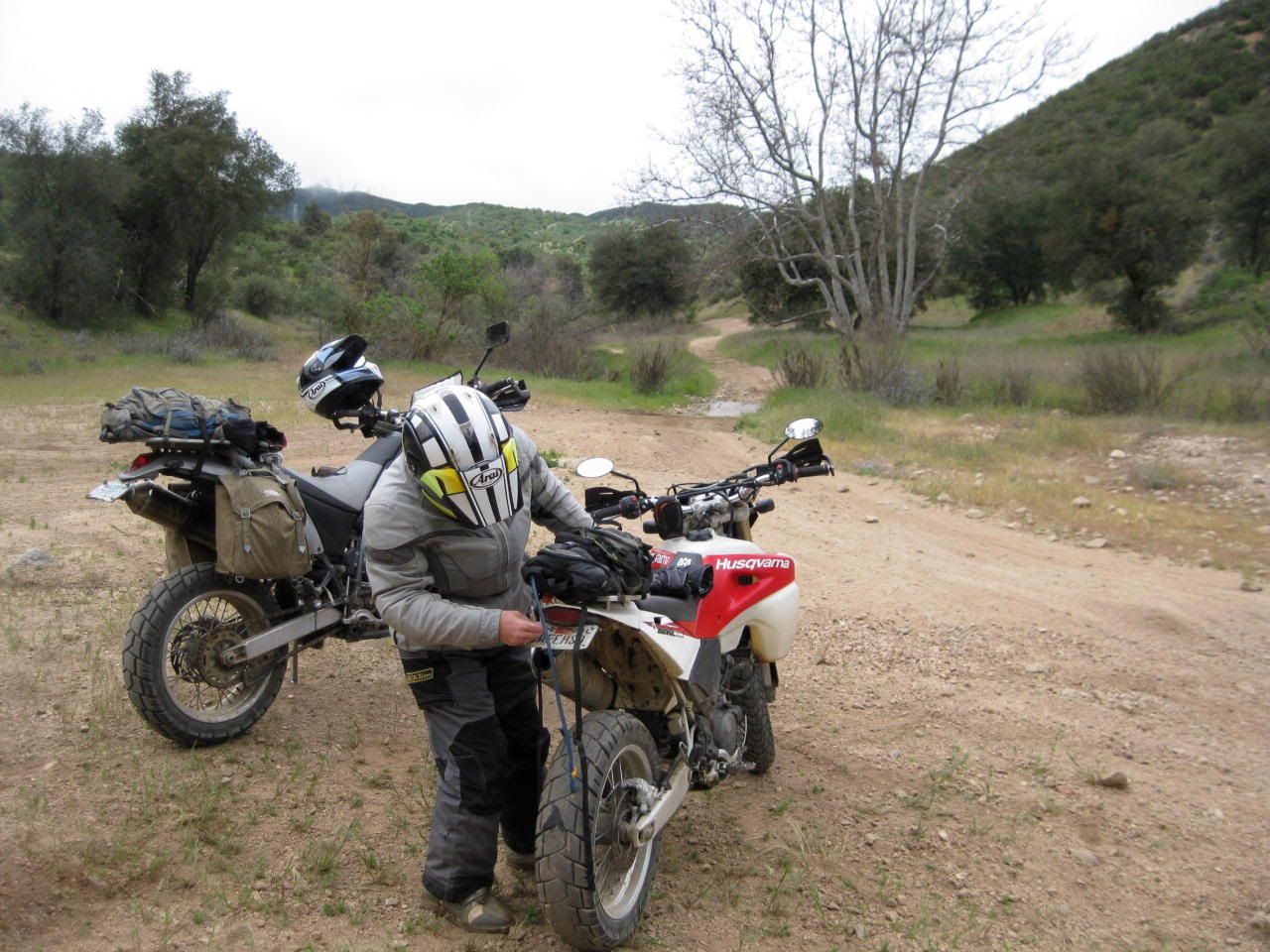
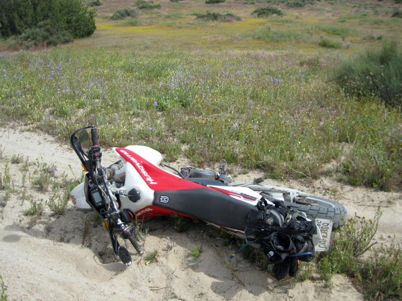
(note Eric's brand new tire and my old balding tire)
Alright! Now we're actually following the lines again!
A little steeper than I'd prefer, as my rear tire was just scritching down the hill giving me no grip at all...
Looking back at that little section...
But wait! There's more!
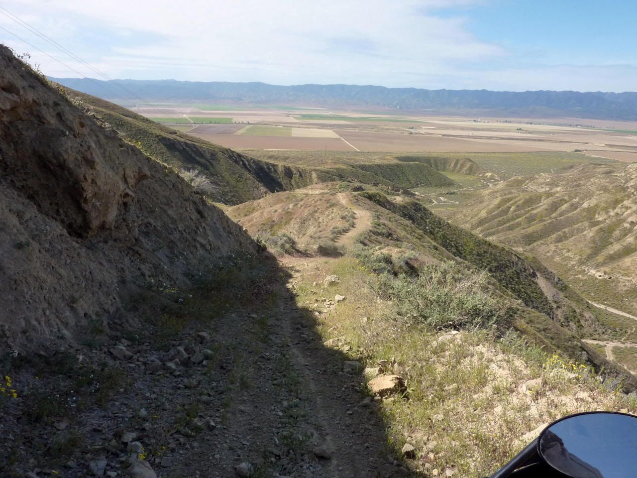
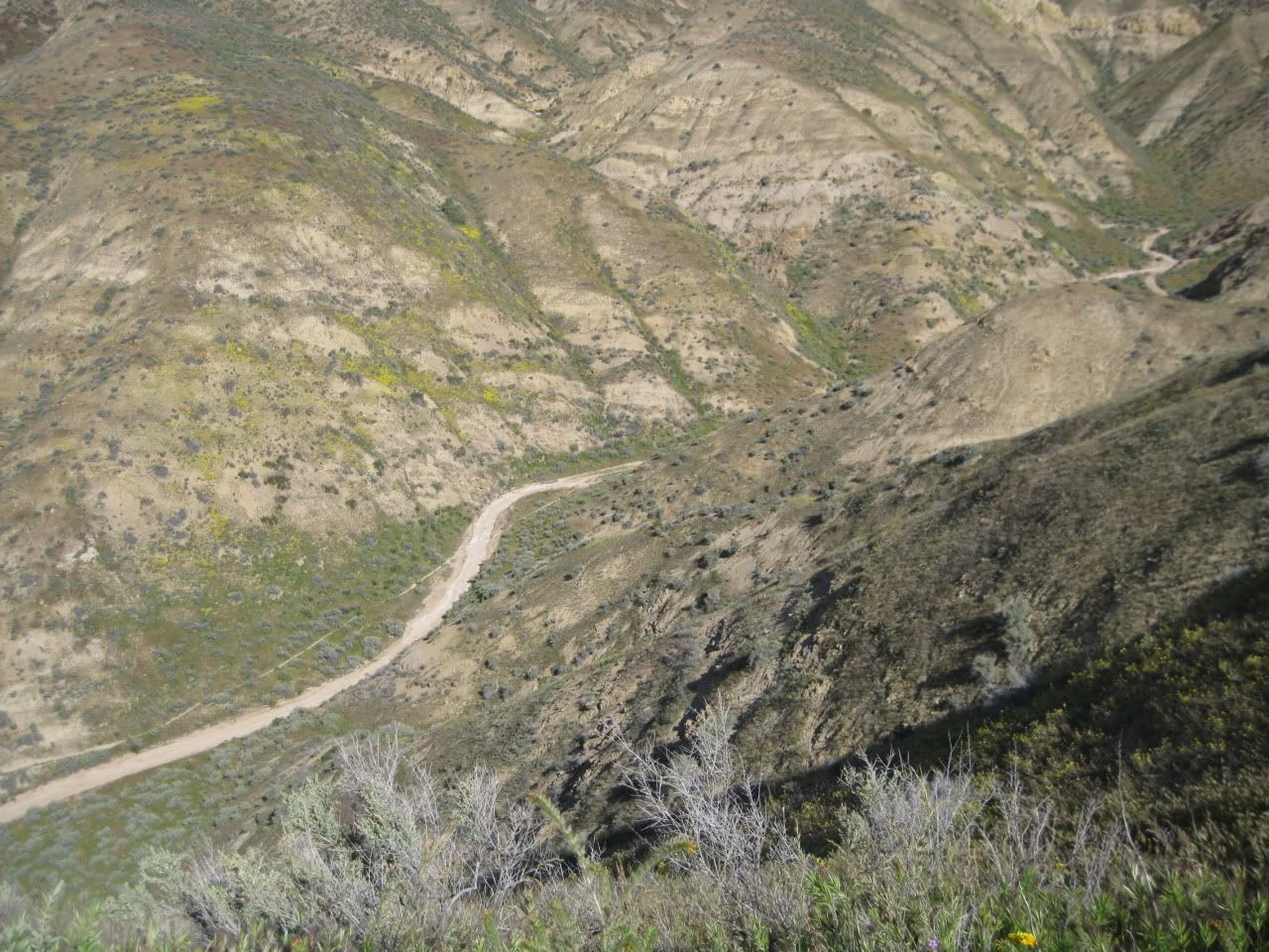
(See that road down there on the right? Yeah, I thought it was a road, too.)
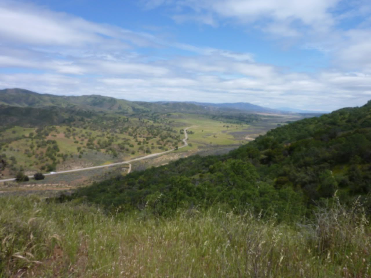
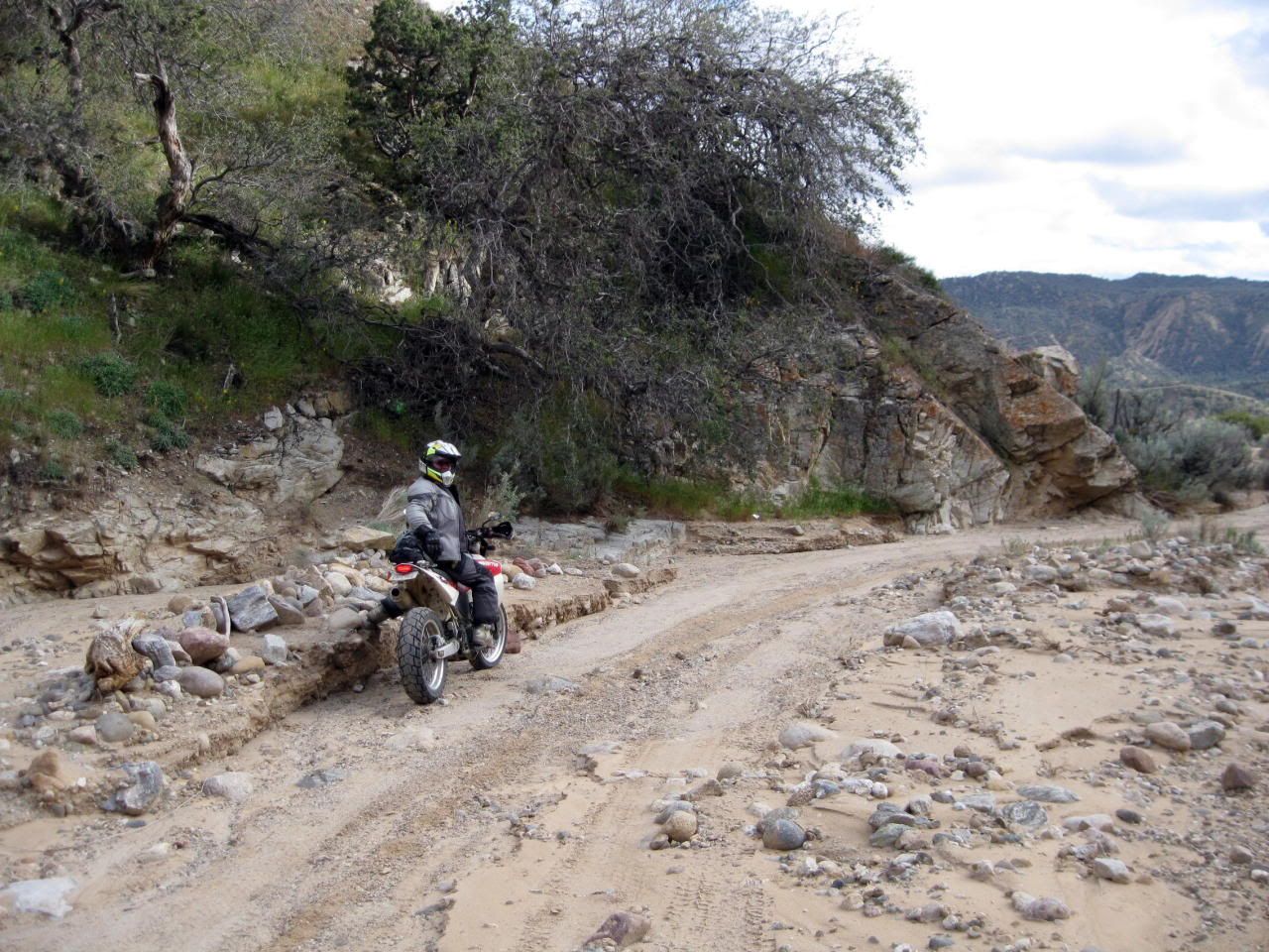
Ahh...a flat section...
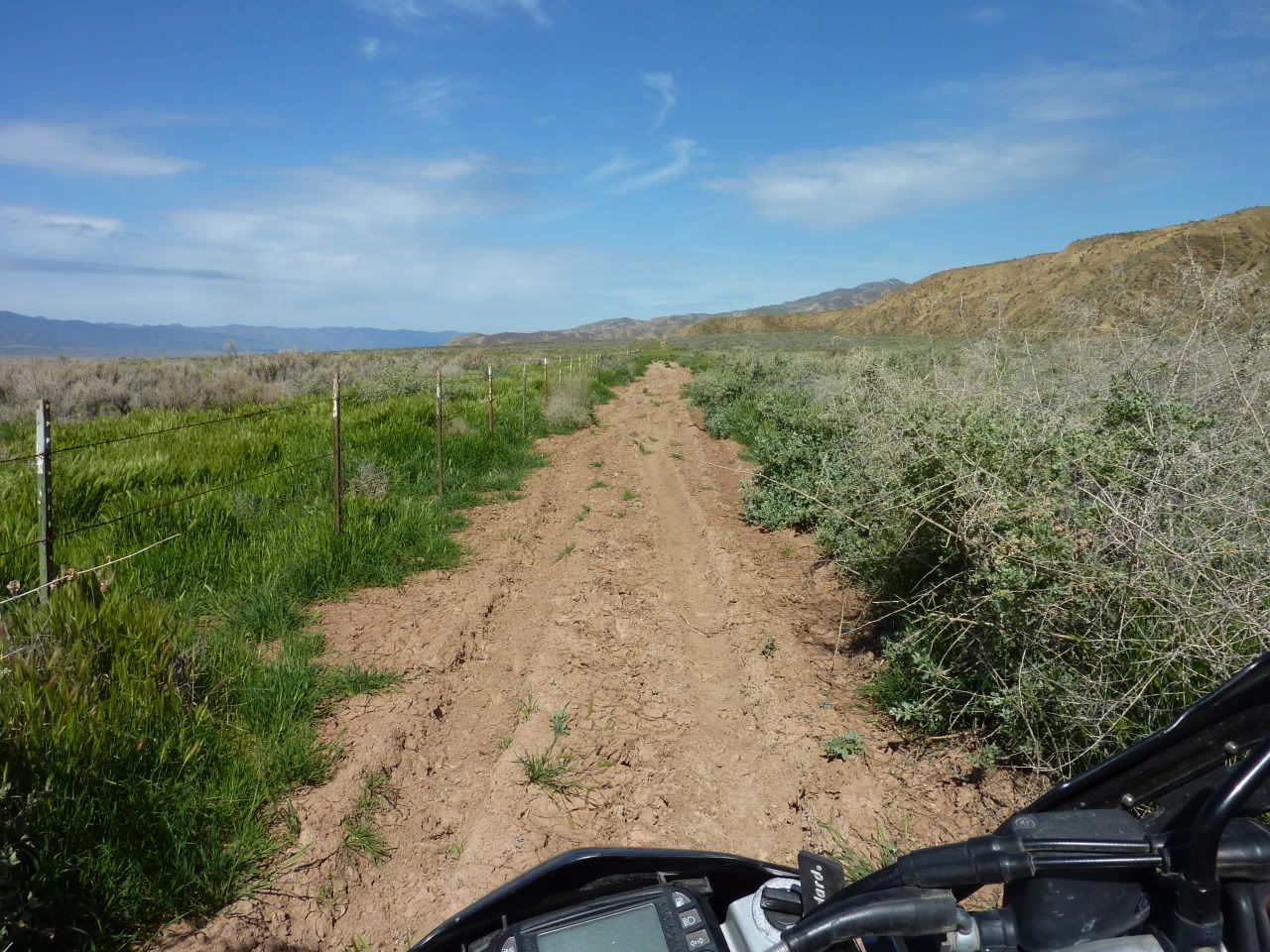
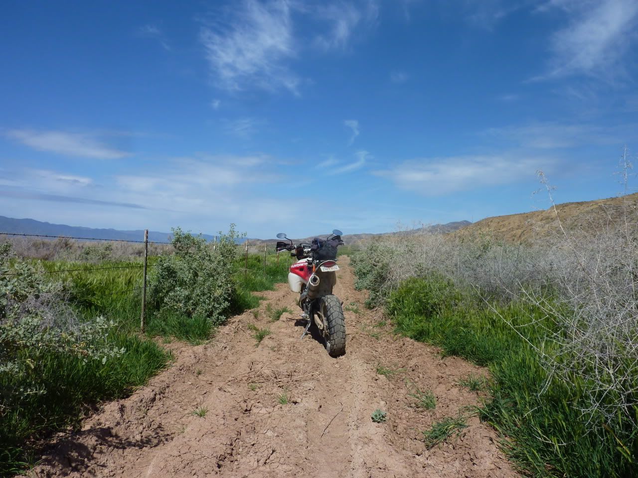
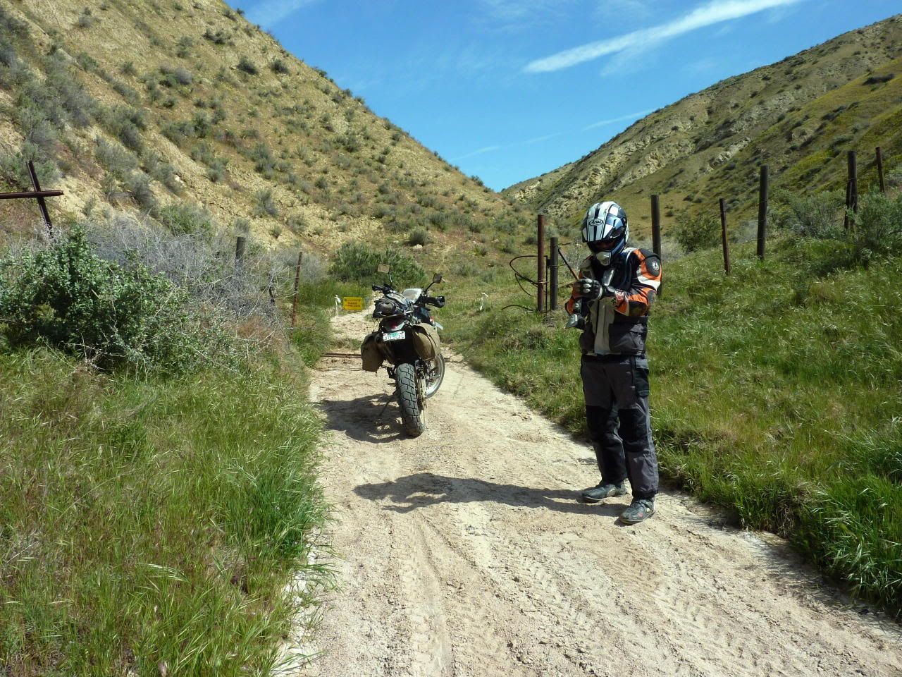
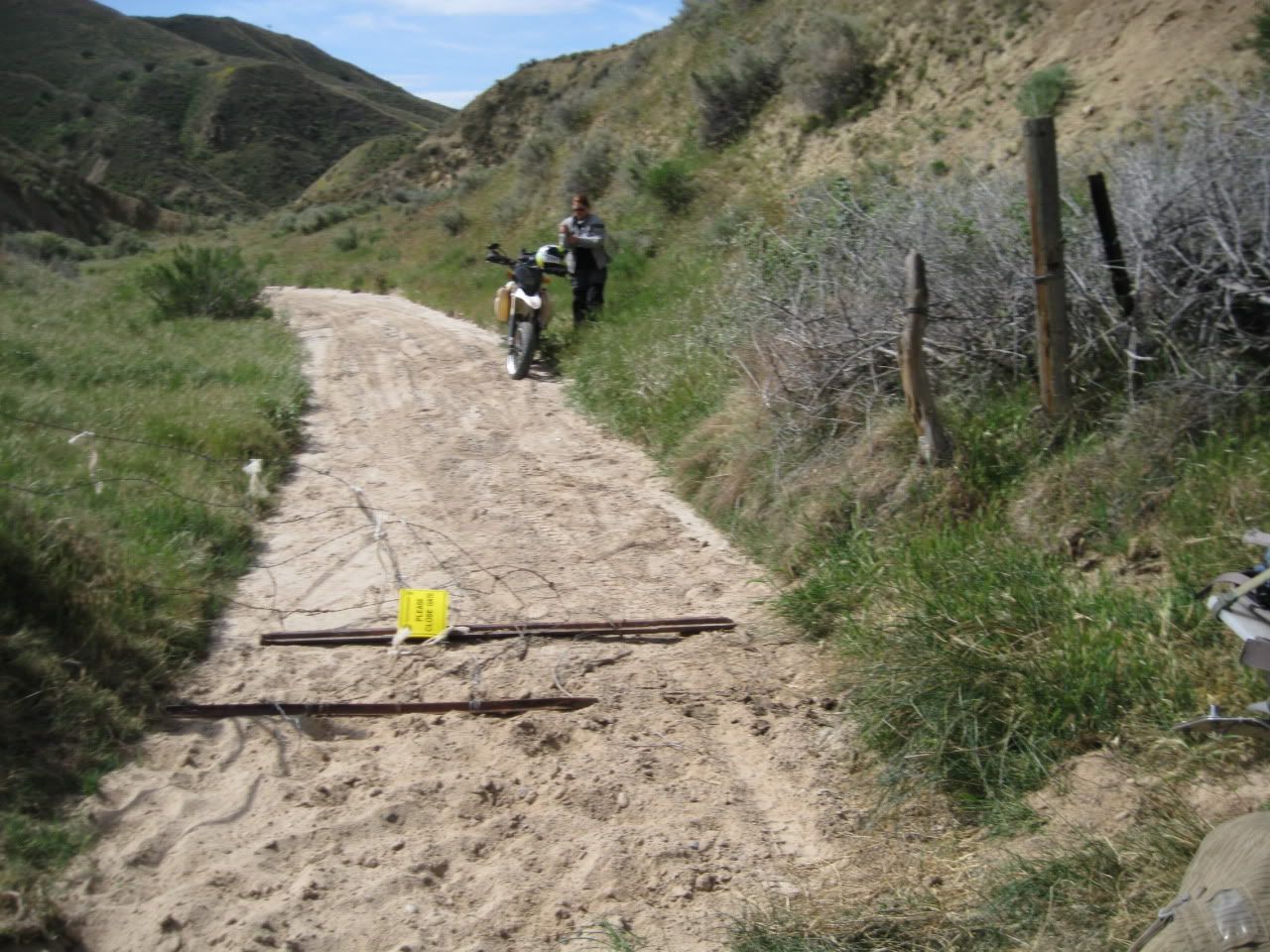
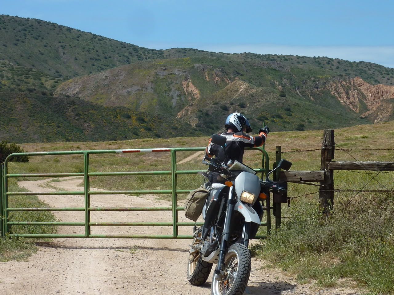
Ok, we get to the bottom and, just as we suspected, there was no way to get past the farms and out to the road. We followed the fence line for a few miles in each direction but it was a big No Go...
I don't mind coming down loose stuff on crappy street tires. I mean, gravity is on my side, right? I can always slide, tumble and fail my way to the bottom if need be. There's no faking it going up, though. I decided we should take that "road" I'd seen from up on high. Eric was against it, but it was easier for him to go along with me than to argue. I would soon find out why he was against it...
I love sleeping in as much as the next guy, but greeting the sun has its own rewards down on the Plain...
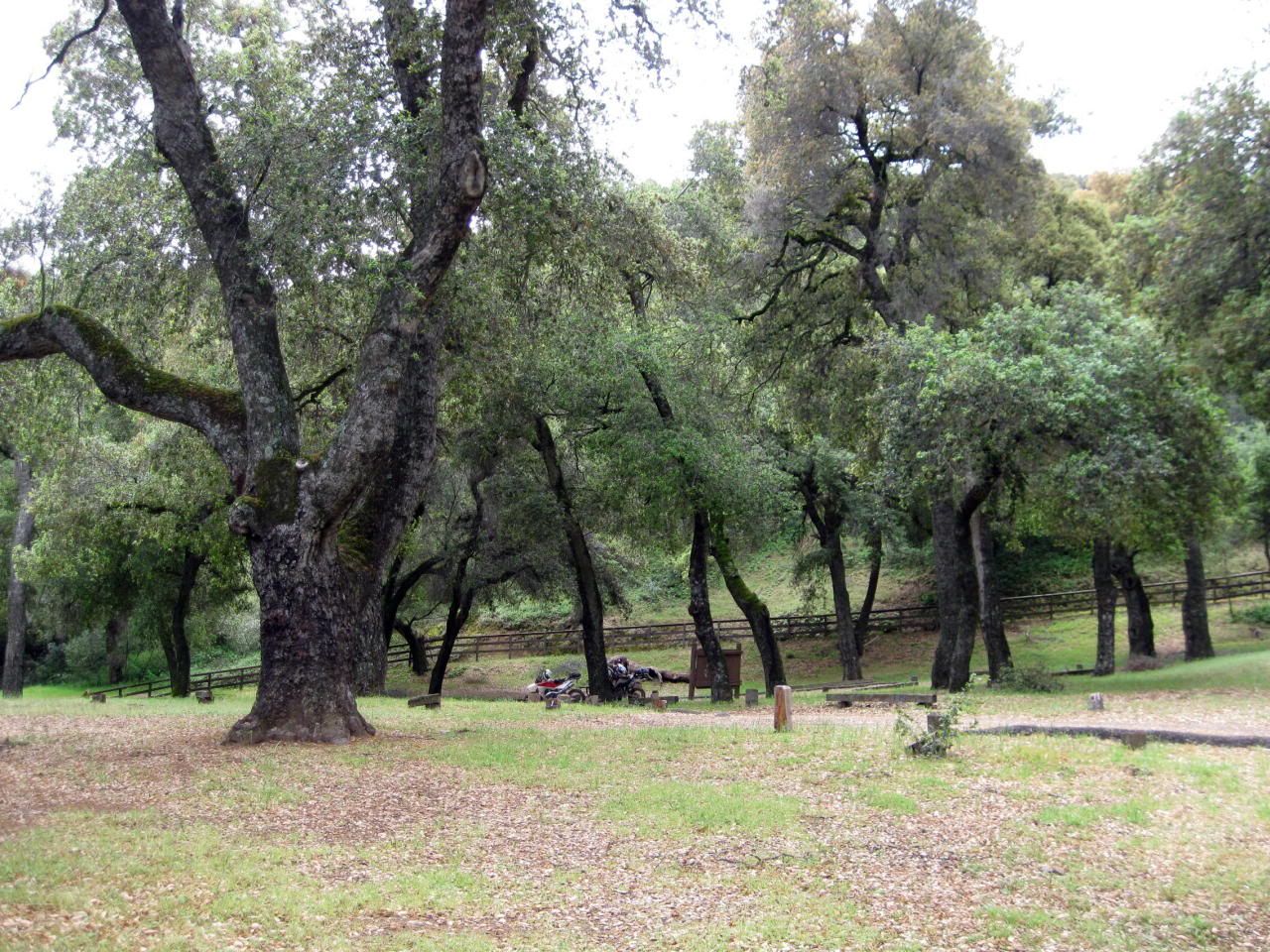
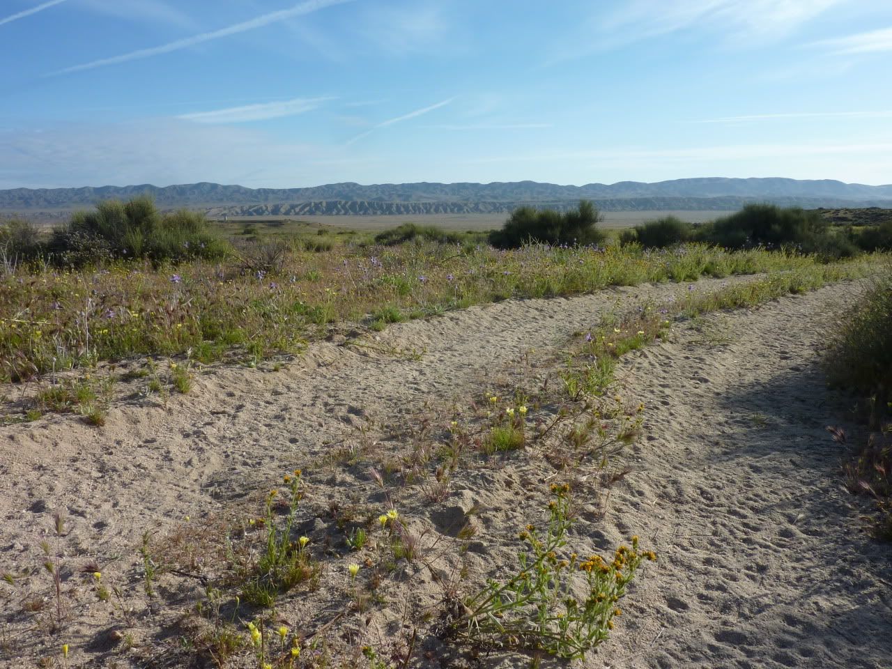
We had the place to ourselves...as usual...
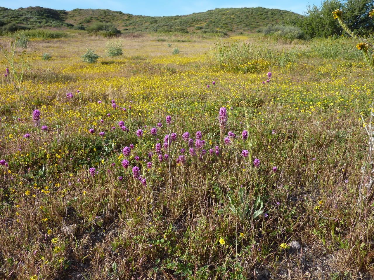
The air was fragrant beyond belief, probably something to do with the dew-covered flowers...
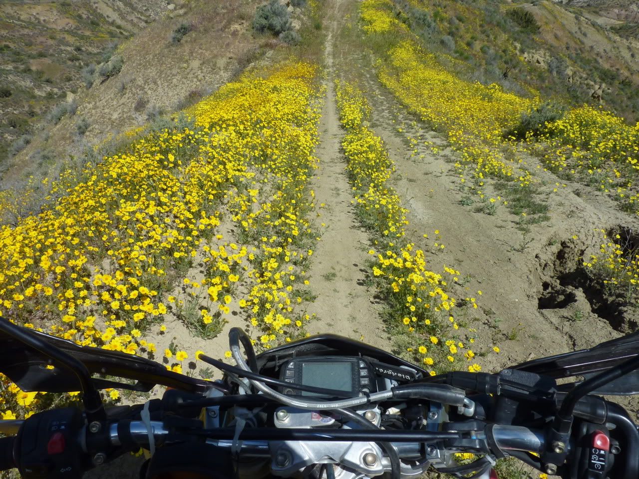
They were everywhere, just not on the floor of the plain...
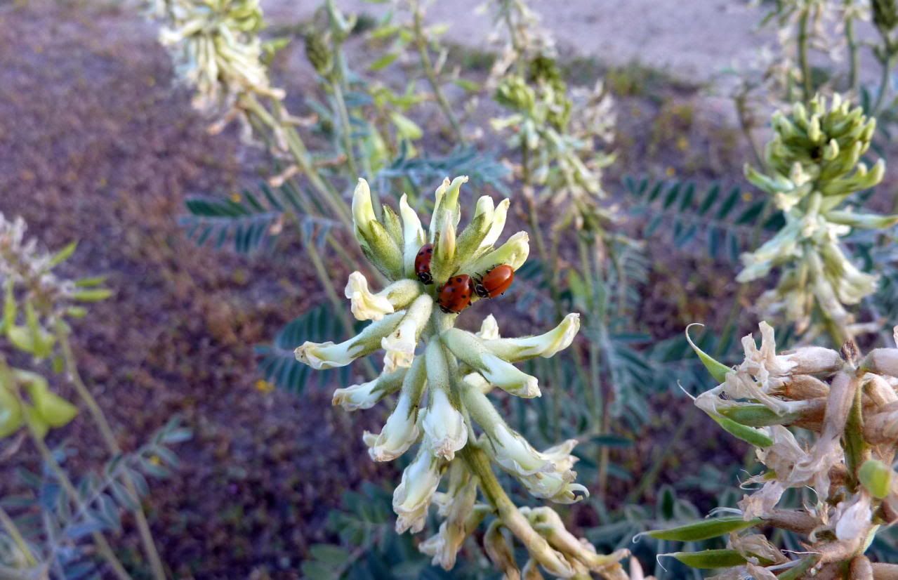
These little guys were digging the warmth of the new sun...
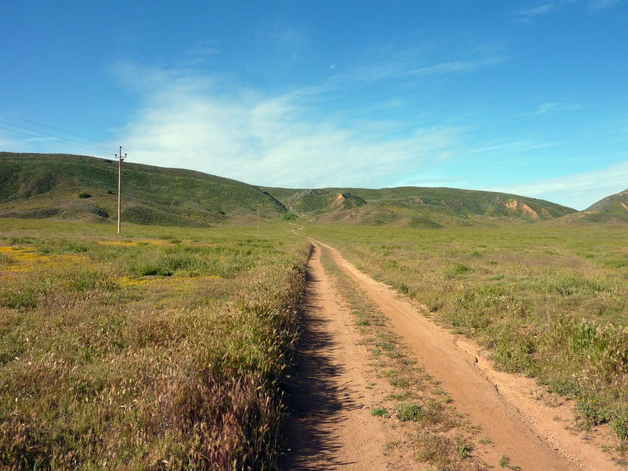
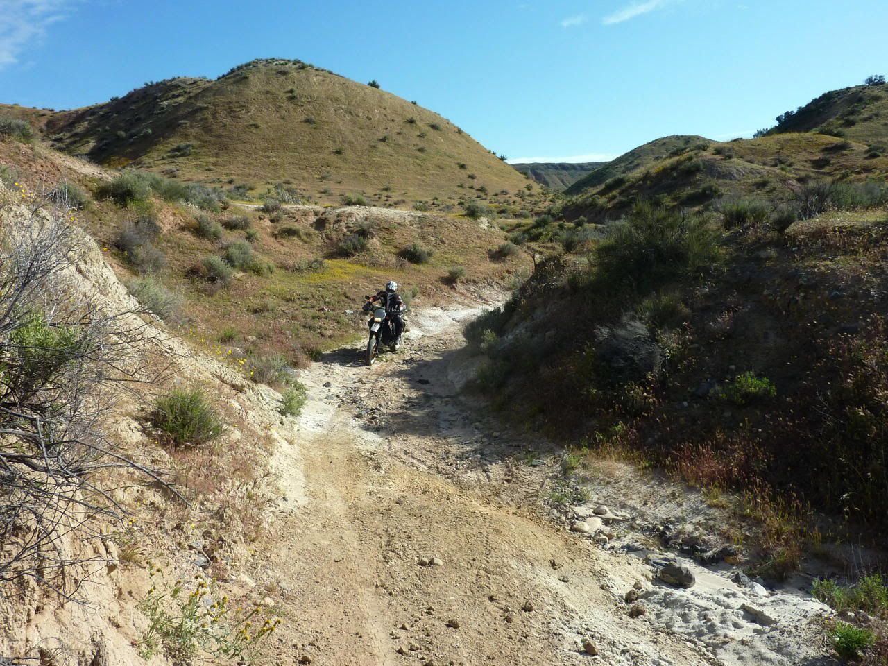
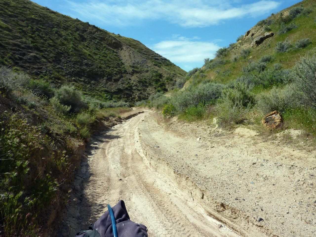
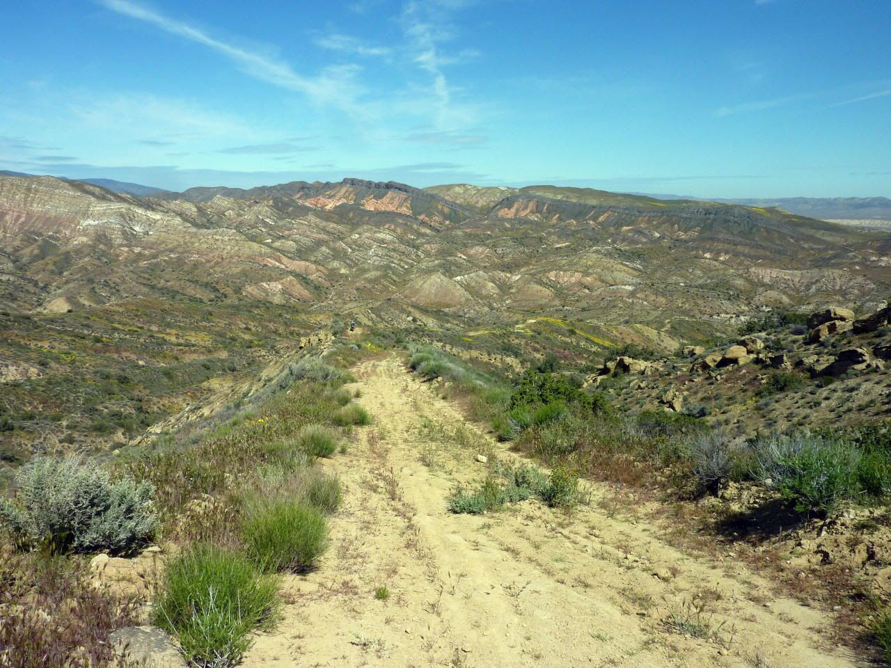
Seems like this road only gets used by critters without wheels...
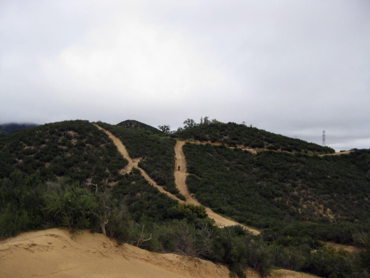
Whoa! Check it out! Powerlines! Where there's powerlines there's roads...right?
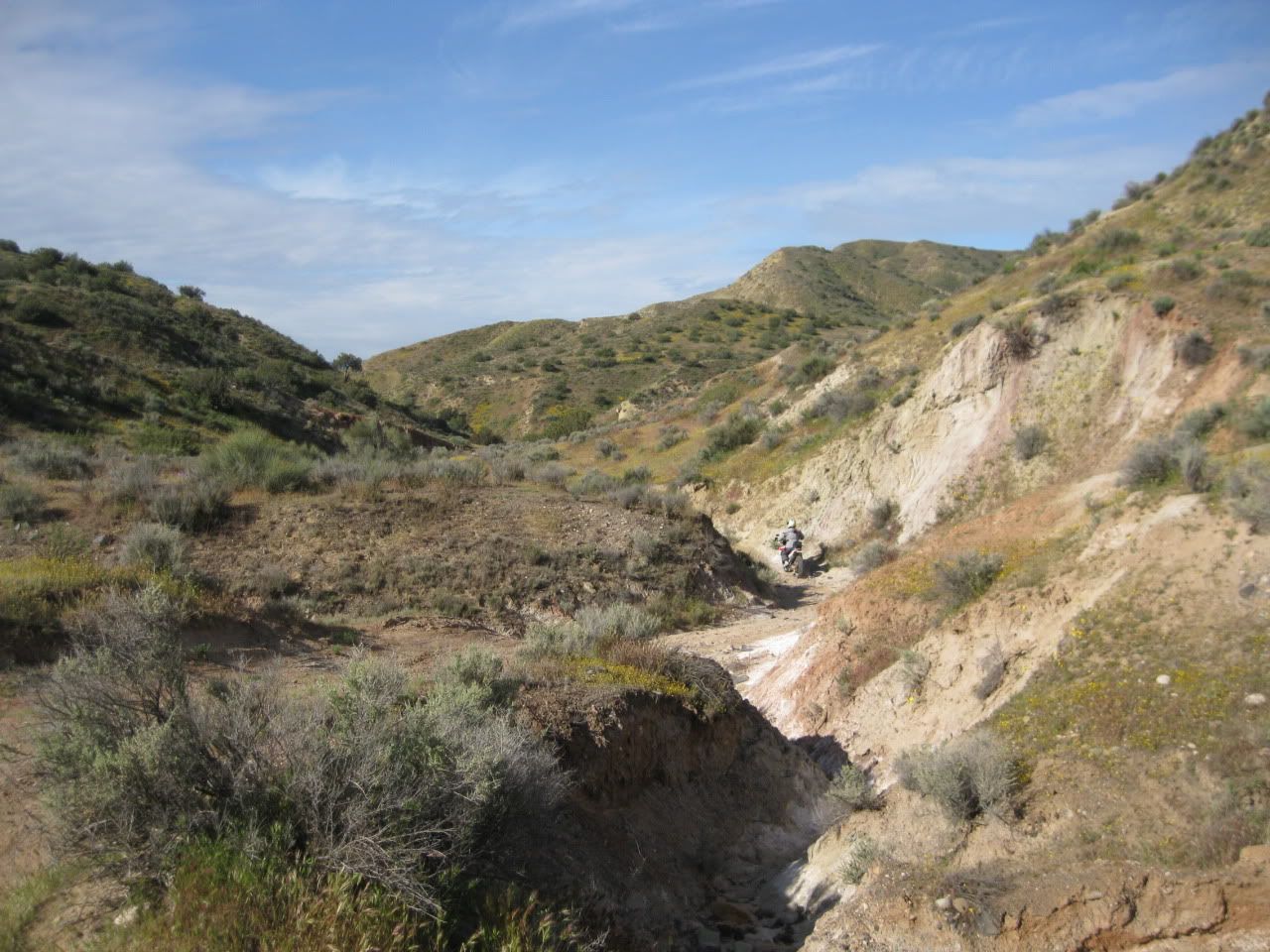
We had fun trying to follow them...
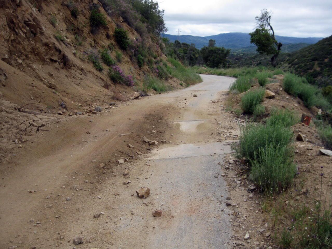
The road just ended and turned into a wash for awhile...a common theme on this weekend...
This looked like a roundabout way to follow the powerlines, but OK...
(note Eric's brand new tire and my old balding tire)
Alright! Now we're actually following the lines again!
A little steeper than I'd prefer, as my rear tire was just scritching down the hill giving me no grip at all...
Looking back at that little section...
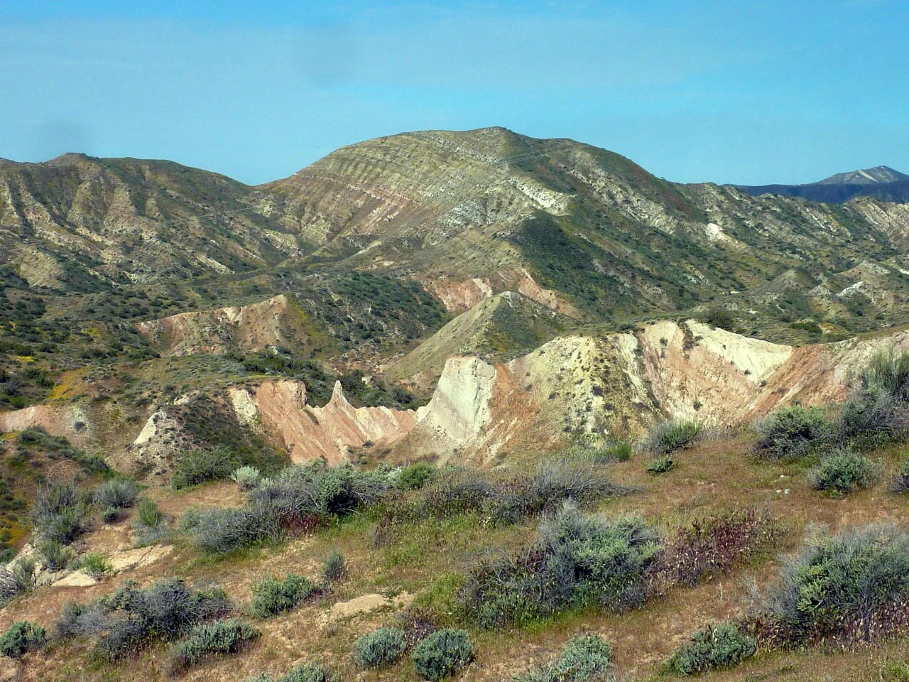
But wait! There's more!
(See that road down there on the right? Yeah, I thought it was a road, too.)
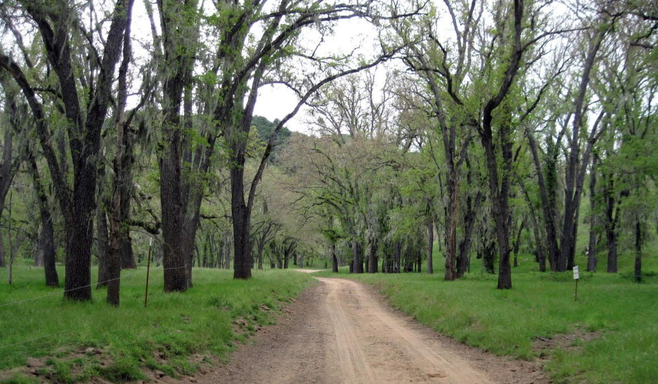
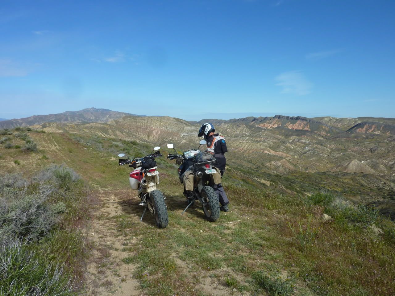
Ahh...a flat section...
Ok, we get to the bottom and, just as we suspected, there was no way to get past the farms and out to the road. We followed the fence line for a few miles in each direction but it was a big No Go...
I don't mind coming down loose stuff on crappy street tires. I mean, gravity is on my side, right? I can always slide, tumble and fail my way to the bottom if need be. There's no faking it going up, though. I decided we should take that "road" I'd seen from up on high. Eric was against it, but it was easier for him to go along with me than to argue. I would soon find out why he was against it...


 Can't wait till I can do one.