• Hi everyone,

    As you all know, Coffee (Dean) passed away a couple of years ago. I am Dean's ex-wife's husband and happen to have spent my career in tech. Over the years, I occasionally helped Dean with various tech issues.

    When he passed, I worked with his kids to gather the necessary credentials to keep this site running. Since then (and for however long they worked with Coffee), Woodschick and Dirtdame have been maintaining the site and covering the costs. Without their hard work and financial support, CafeHusky would have been lost.

    Over the past couple of weeks, I’ve been working to migrate the site to a free cloud compute instance so that Woodschick and Dirtdame no longer have to fund it. At the same time, I’ve updated the site to a current version of XenForo (the discussion software it runs on). The previous version was outdated and no longer supported.

    Unfortunately, the new software version doesn’t support importing the old site’s styles, so for now, you’ll see the XenForo default style. This may change over time.

    Coffee didn’t document the work he did on the site, so I’ve been digging through the old setup to understand how everything was running. There may still be things I’ve missed. One known issue is that email functionality is not yet working on the new site, but I hope to resolve this over time.

    Thanks for your patience and support!
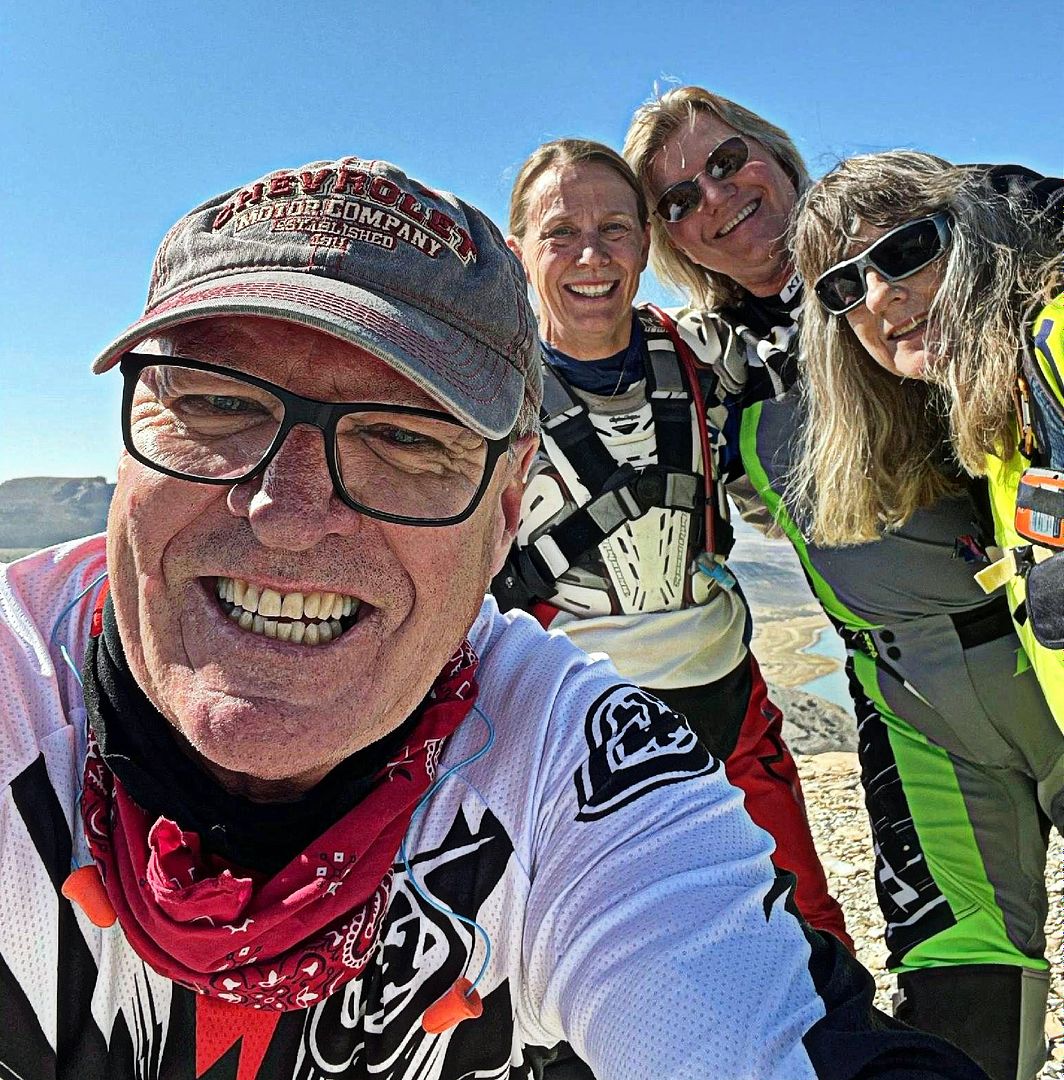
Prairie Orphan Checking In 09/23/22

Dirtdame

Administrator
Staff member
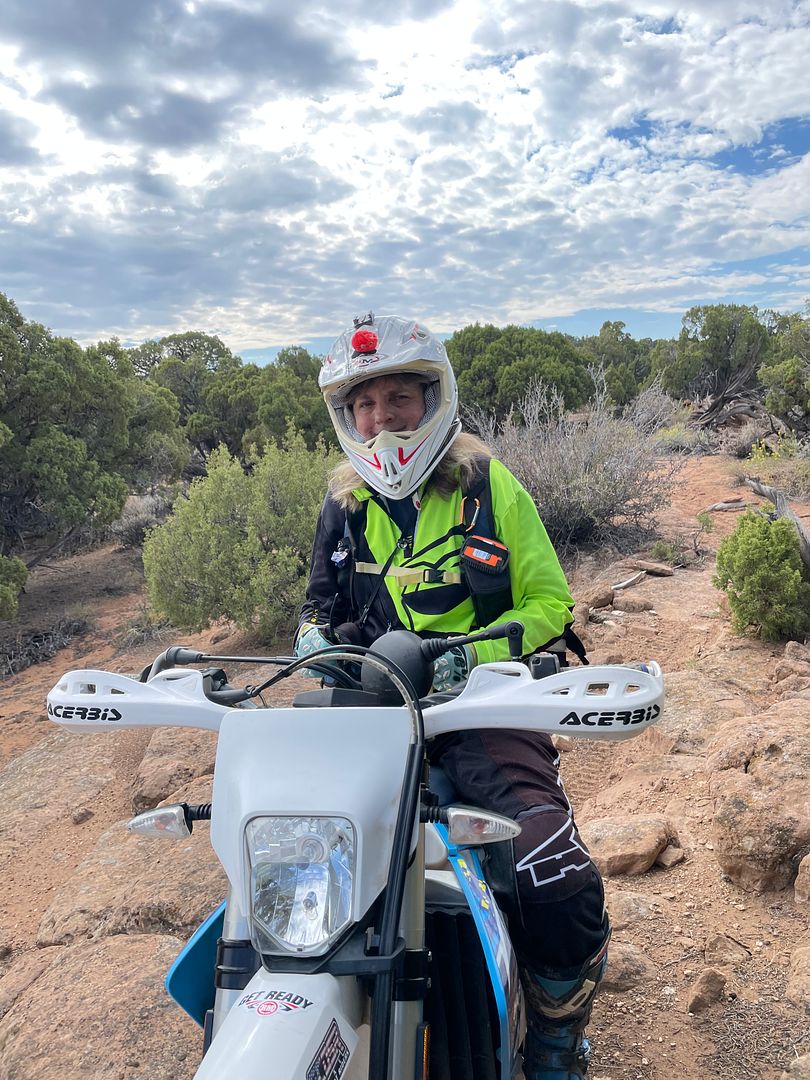
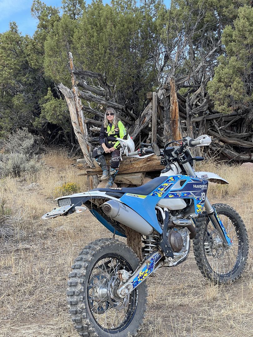
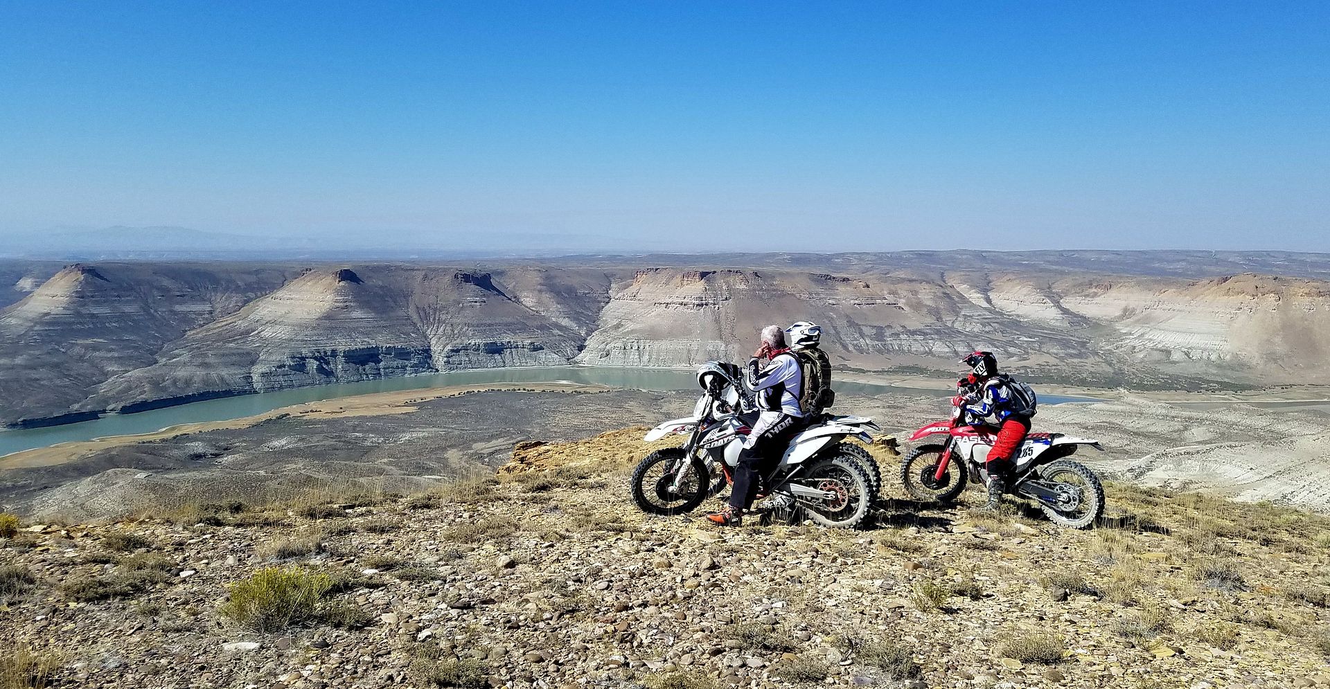
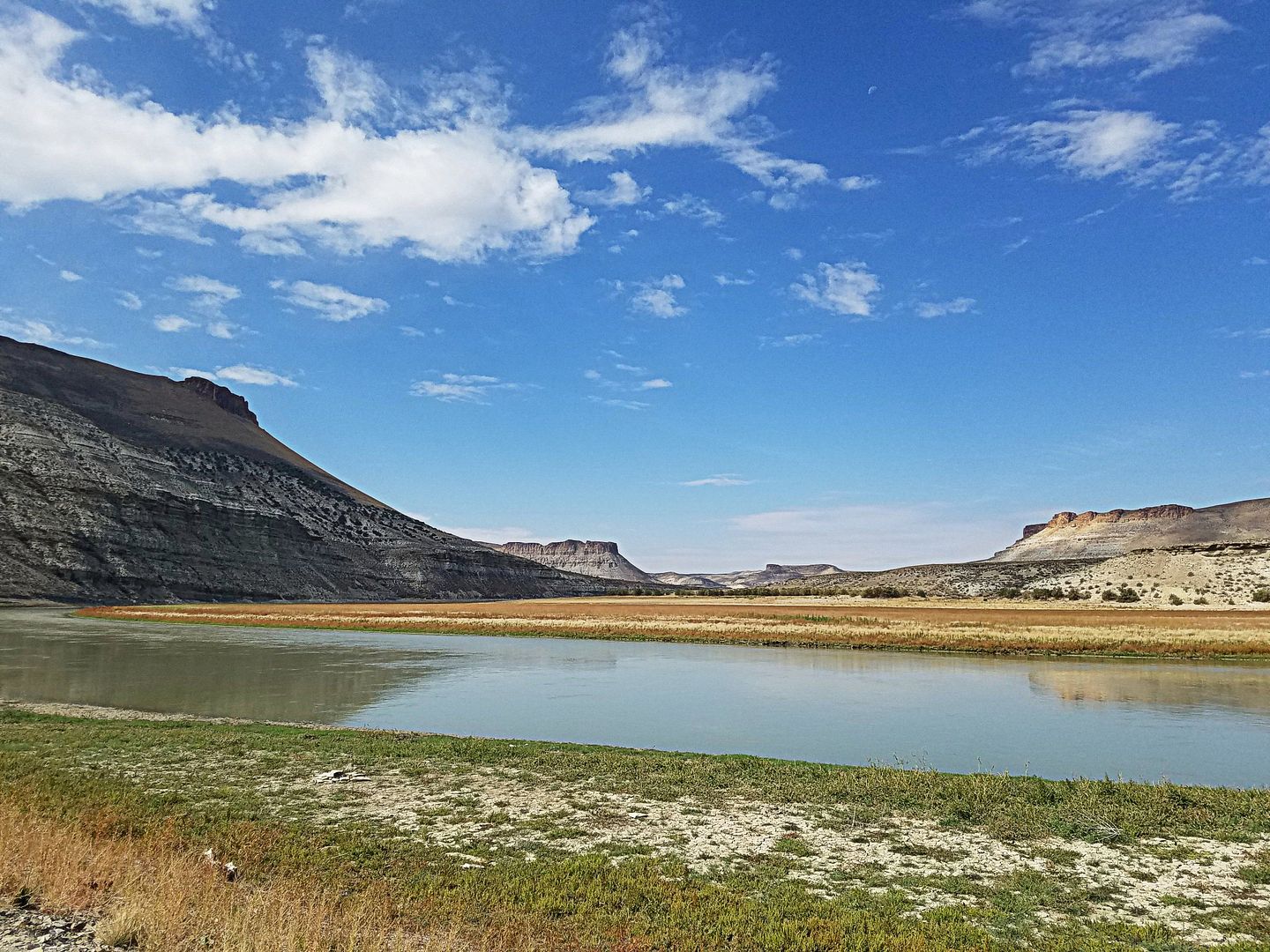
I sure miss all my home state riding venues and I always will. Wyoming is a sparse, rugged and austere place, but there are tons of trails and jeep roads here. A person can ride in most directions further than their fuel tank will allow, and never see a town, a building and sometimes another human being. Lots of high desert, with little cover, crazy weather and high winds. Almost no details of my life have remained the same since I moved here...except riding.


GPS work good enough to return to your vehicle or do you have any physical maps?

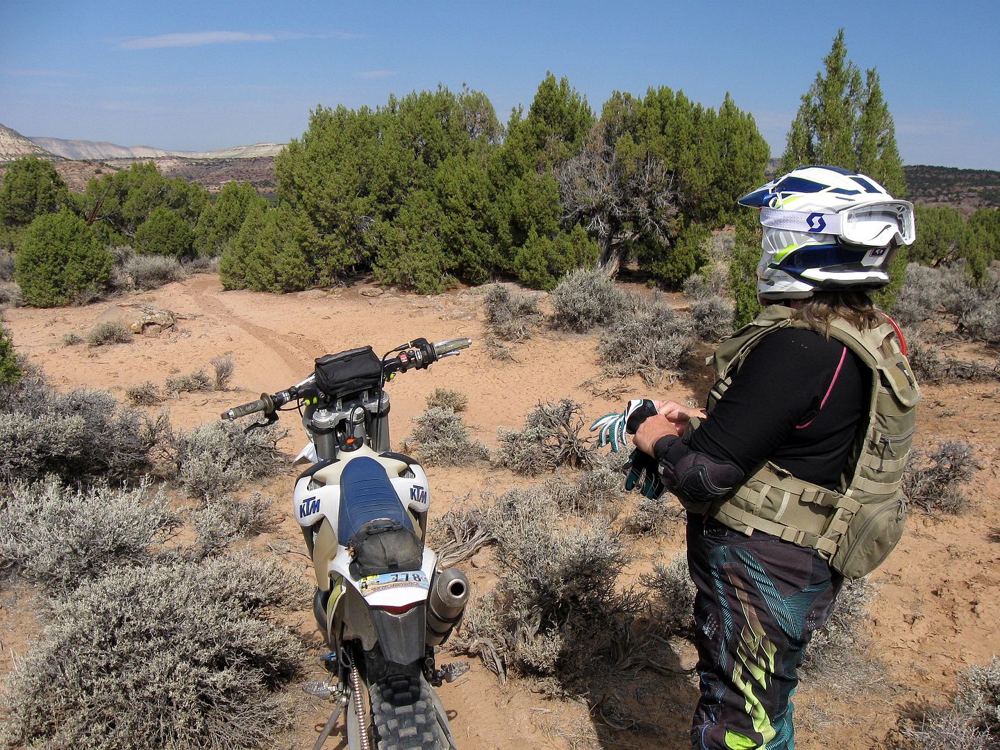
I ride with locals. They know most of the trails, and if they don't, they have gps/map apps that they load onto their phones that work really well where we have reception, and that is more often than one might think.
 
  • Like
Reactions: Kim
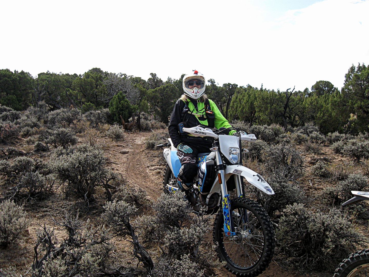
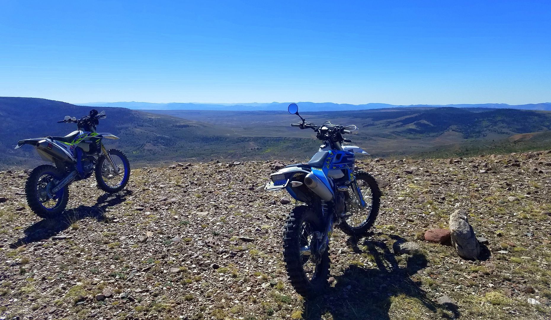
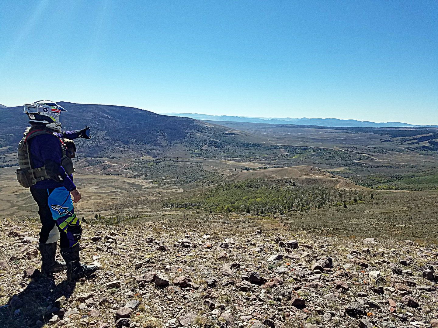
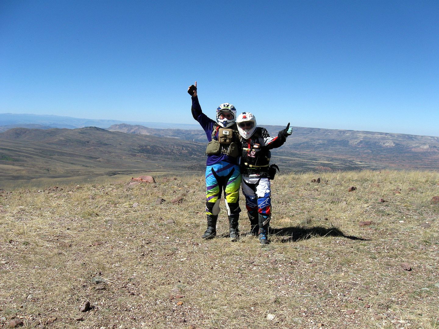
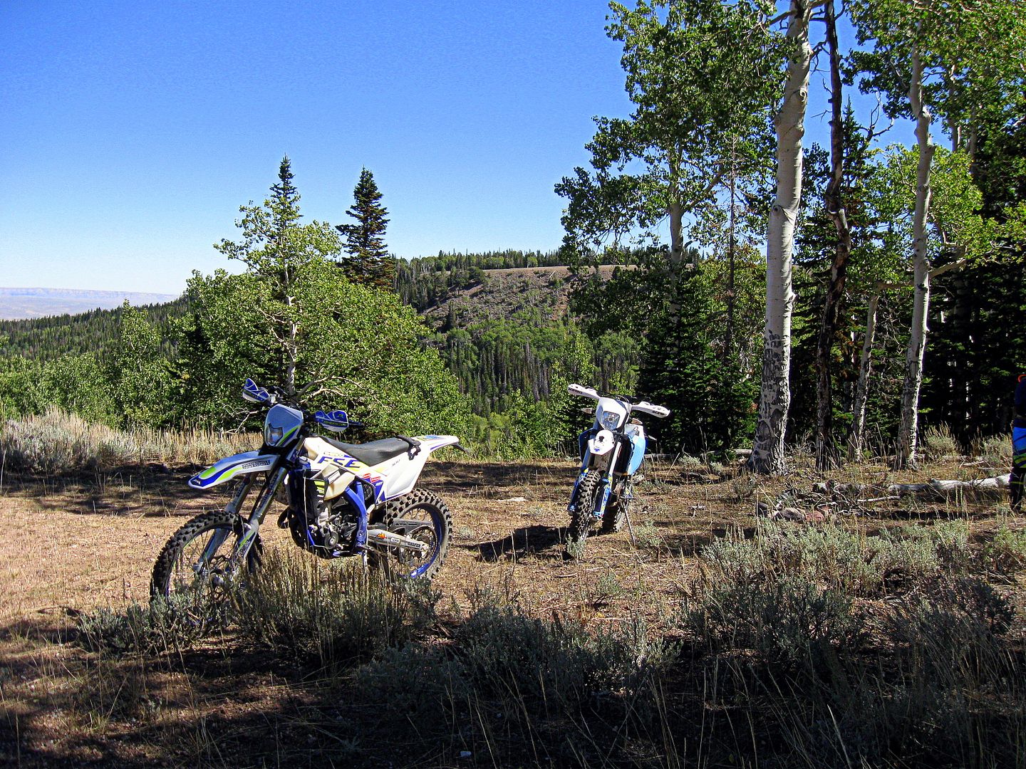
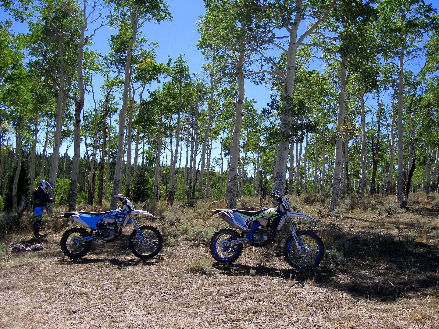
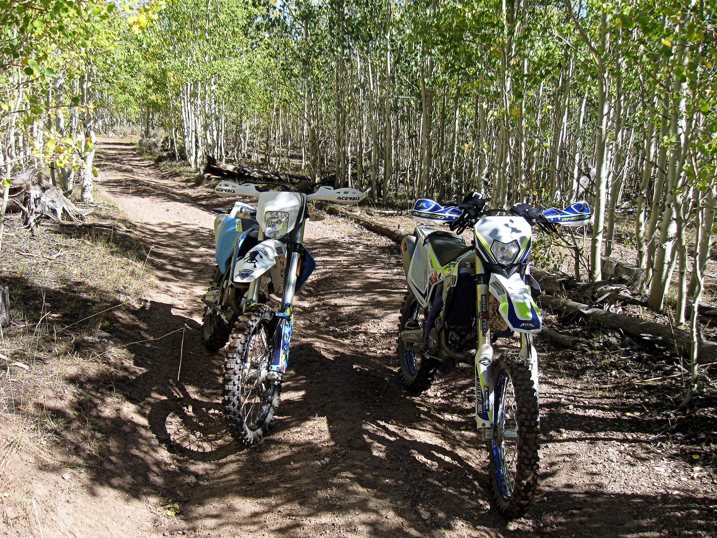
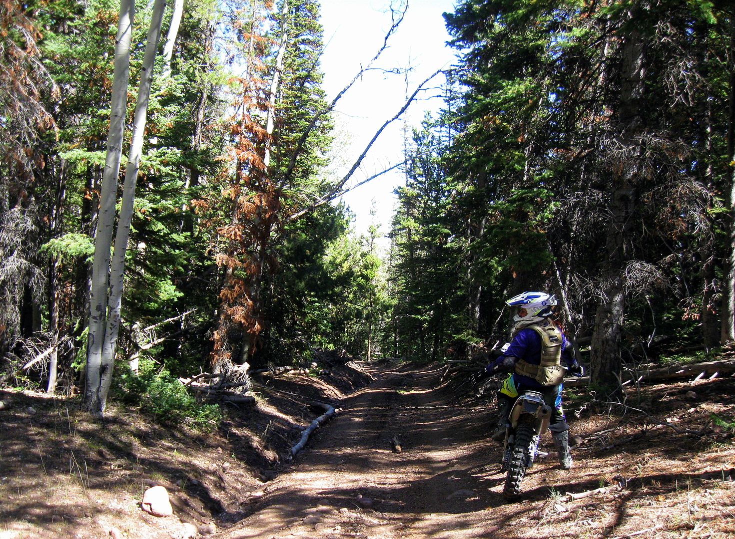
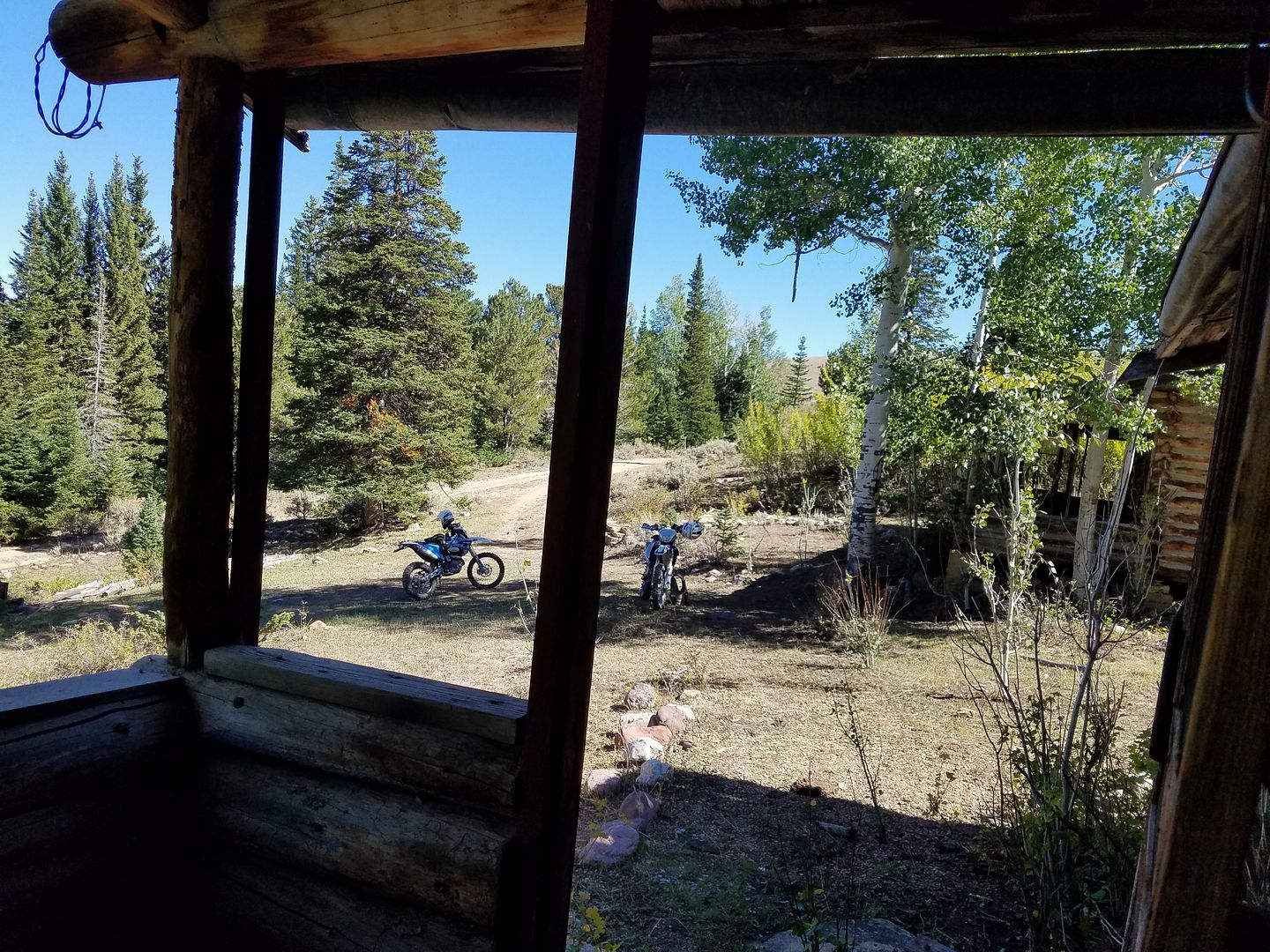
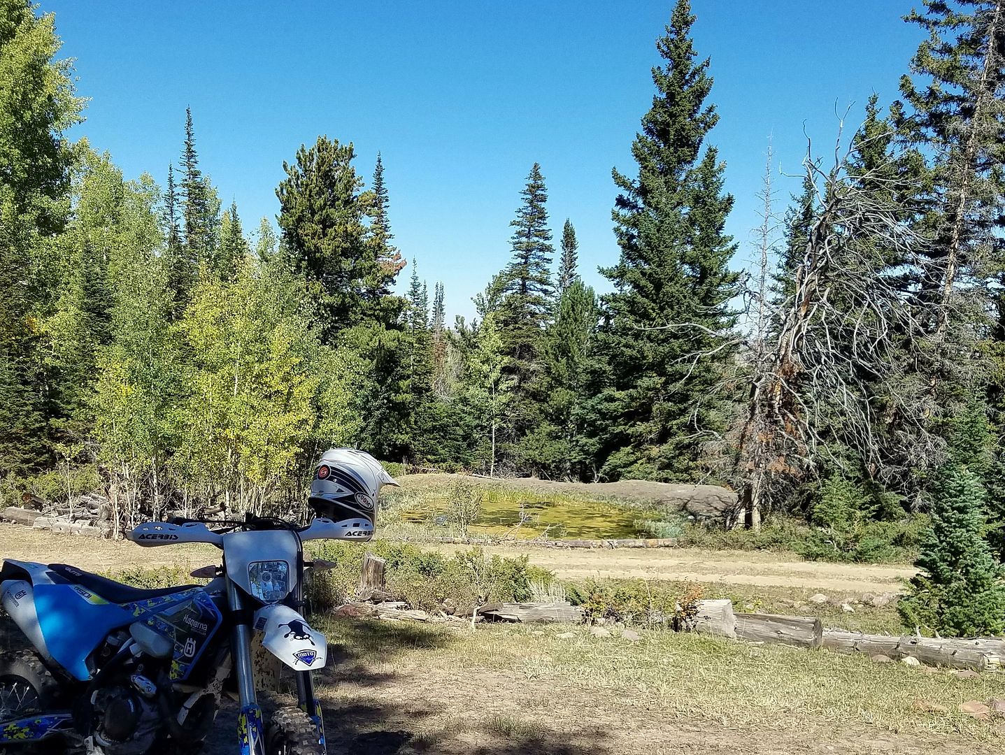
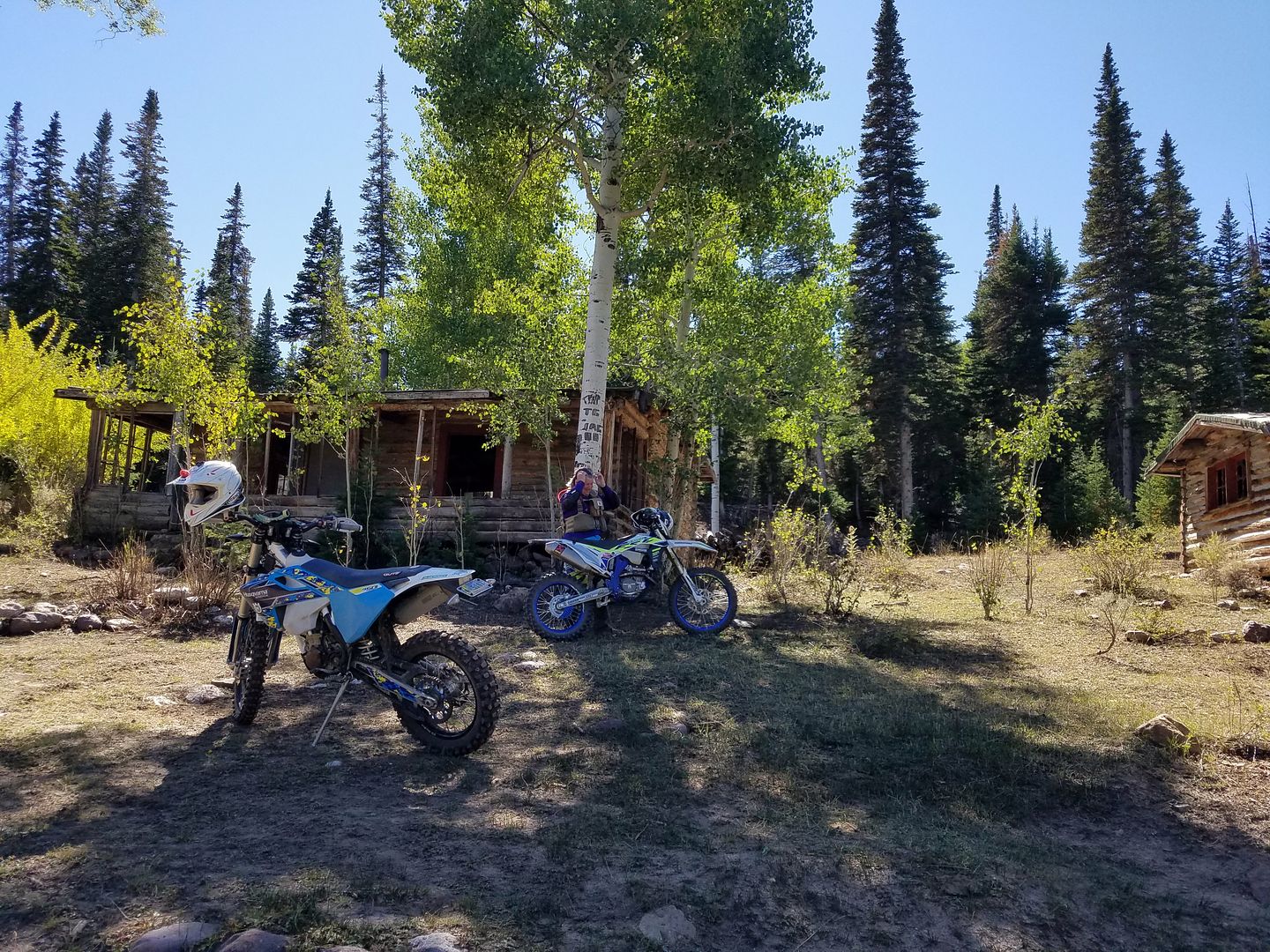
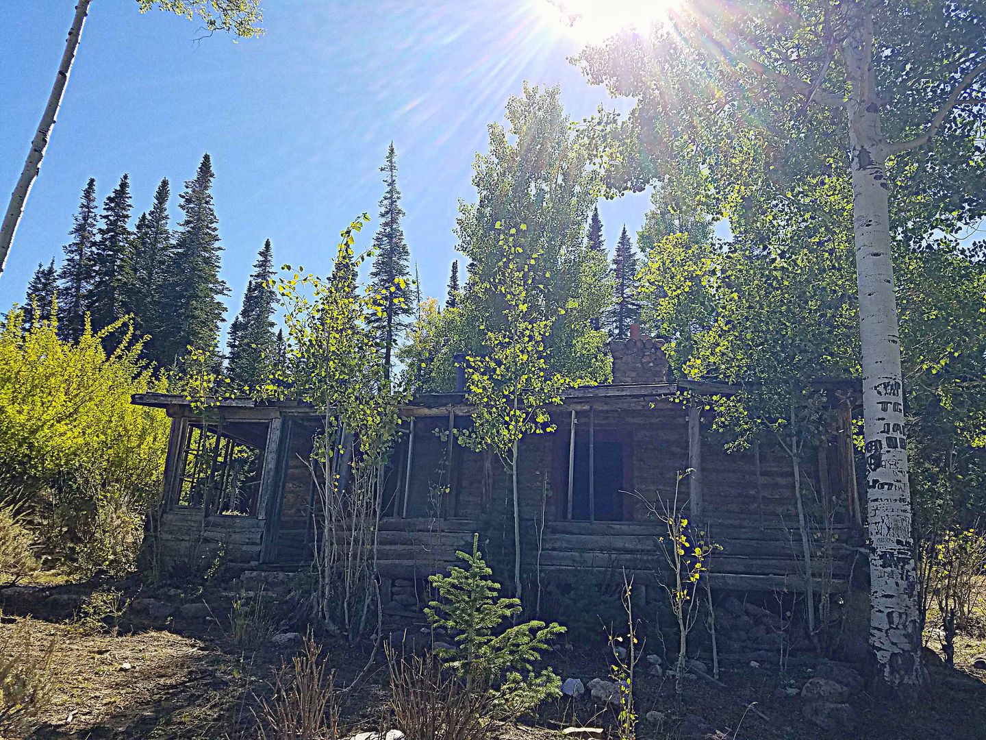
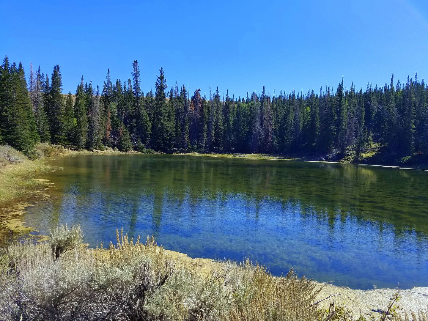
So, last Saturday my friend Kim took me to see a mountain forest that was less than an hour's drive south of Rock Springs. It was like a little Alpine oasis sticking up in an otherwise barren high desert landscape. Desert was around 7000 ft. altitude, the top of Pine mountain was closer to 10,000 ft. We could see the marker monument at Three Corners where Wyoming, Utah and Colorado all meet just off the west side of the mountain. We did not ride down there, but spent the bulk of our ride exploring some rugged two tracks that ran down the heavily forested alluvial drainage cuts of the mountain. There, we found some fairly ungroomed technical routes, steep and full of rocks, ruts and small downed trees. We also found a couple of abandoned cabins and a few small ponds. There are aspen trees along the exposed edges of the woods, mainly on the west side, and the rest of the forest is made up of often dense stands of fir trees.


Back
Top