mxracernumber1;36186 said:
.......... Everyone knows that Obama and Pelosi are freedom's #1 enemy.........
You forgot to include their good buddy Joe.
Every one of us can help by belonging to and supporting your local clubs and BlueRibbon Coalition (
http://www.sharetrails.org/ ...who FYI: had an article in the last issue about Idaho Trails, and author was riding on a Husky)
The National Off-Highway Vehicle Conservation Council (NOHVCC)
http://www.nohvcc.org/faqs.asp , (supported by Kawasaki, Honda, KTM, etc) lists local contacts, clubs and organizations thru-out the country along with a lot of links/information to help promote OHV use.
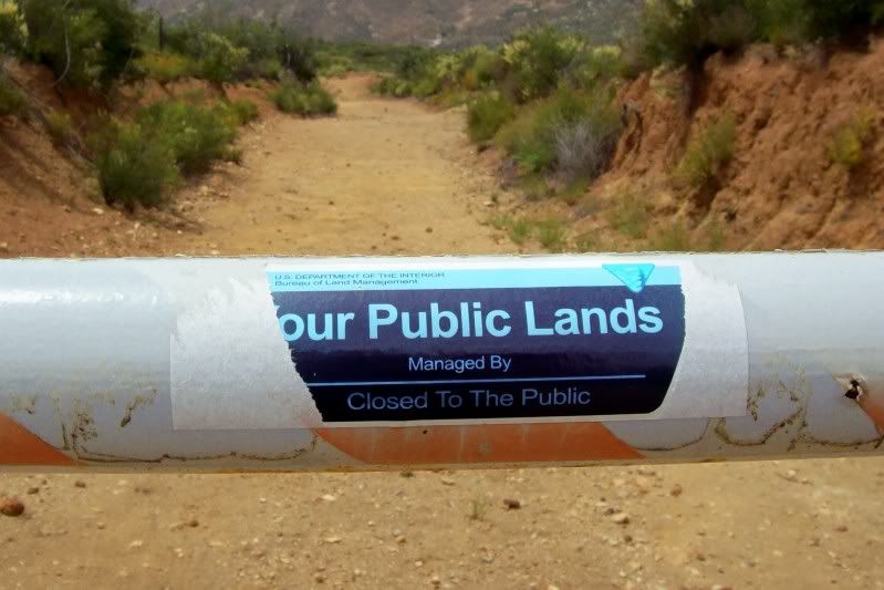
A big problem I've seen in my decades of riding-hunting-recreating in Idaho has been the bad 2% being the most visible to the general public.
I remember seeing one TV news report on damage done to our foothills at the edge of and visible to town.
Those evil "motorcycles" were tearing up the hillside when muddy, the "motorcycle" damage being filmed on TV showed two deep 10-12" wide ruts spaced evenly about 6ft apart.
It was very common for kids in their 4x4 trucks w/38" super swamper tires and blown out glasspacks, to go grab a 12pack and head out to blast up the anything they felt like trying right at the edge of downtown. Same w/the so called dirt bikers, jump on the mx bike w/baffle out and/or burned out muffler (or straight pipe), flip the ball cap backwards and the king-of-the-hill game was on..........most of the area is now closed, with parts being opened again to hikers and mtn bikers.
Another area I've seen a big change in, has been 4wheelers (ATV's). They're everywhere now. While most are probably decent responsible riders, many places that used to be nice single track has been ripped open, torn up and trashed by the irresponsible few.
IMO this last item was a major factor in the new forest service, "closed, unless posted open" crap that came up in the last couple years.
You could see it coming. A 4wd ATV can cover some impressive terrain, so instead of walking up the draw, they would just ride over to see what's there.....the next guy would come along and see a "trail".....next weekend, someone else...then another. Before long you had a new road up the draw or to the top of the hill. This repeated on the down the road, and all across the state.......a few years ago on took my son out on his first hunting trip, we walked back in to a favorite spot and saw two ATV's coming cross country thru the draws "hunting" for deer (it's not only illegal to hunt from a vehicle here, but area is also closed to off-trail travel)
I think the forest service couldn't keep up and didn't have the resources to enforce it, so they did (& are doing) an inventory of roads/trails from obsolete forest maps, field verified some small part of it, then rushed out these crappy travel plan "maps" rushed out. The so called "maps" I've seen are very poor quality and greatly lacking in detail......I believe the BLM is working on a similar thing now.
In the last two years I've had a place our family has camped/hunted out of for 20yrs, closed because it wasn't on the new travel plan (established camp area off a 60's era logging road).
Another spot couple miles down the road, a mile long road to a trailhead parking area was closed because in wasn't on the new travel plan......now you have someone drop you off at the main road (due to no parking) and hike in to the trailhead.
We also just recently had the Owyhee Wilderness area shoved down our throats on BLM land where I hunted and biked.....at least in this case, there are a couple access points left (I think - no official maps have been made yet)